
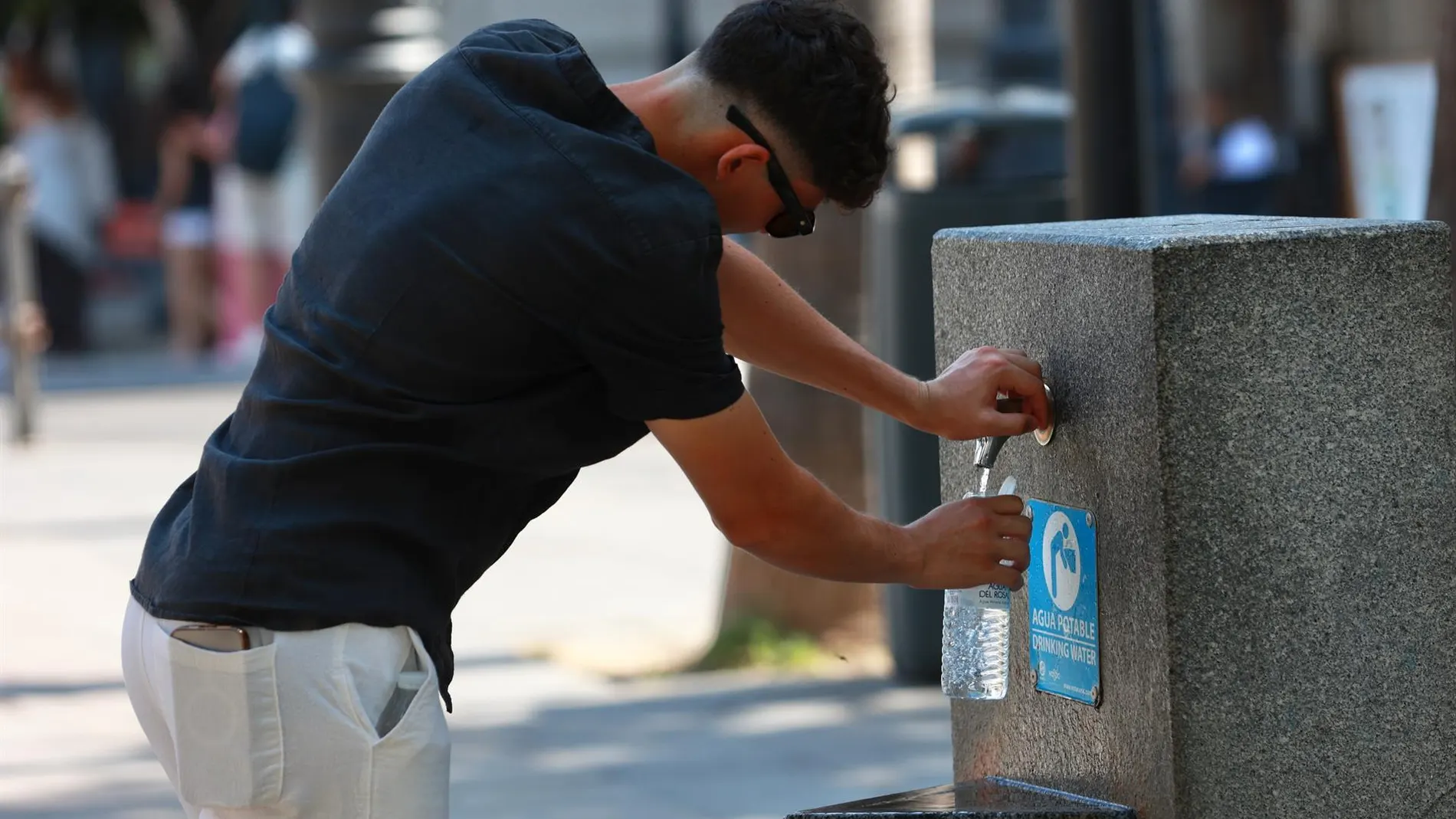
The official AEMET prediction for this Wednesday, July 29, depicts a country where warm air prevails with hardly any resistance and pushes the mercuries to figures that are rarely reached before August.
The body expects the heat to be harsh in a generalized way in the interior of the peninsula. 35 degree marks will be the norm in most of these regions, but the focus of attention is concentrated on two very specific areas: the river valleys of the southwest quadrant, with Andalusia as the main protagonist, and the Ebro valley as it passes through La Rioja, Navarra and Aragón.
In these areas, the maximum records They will move between 40 and 42 degrees. Zaragoza, Logroño and Pamplona have the highest forecasts among the capitals, with 42 degreesfollowed closely by the 41 that are expected in Toledo and Córdoba.
A relief that only appears on the coast
Faced with this suffocating reality, the maritime façade northern offers a respite. The entry of westerly winds and the persistence of low clouds on the coasts of Galicia and the Cantabrian Sea cause a notable drop in temperatures. The prediction indicates that the maximums will drop sharply in these communities, with A Coruña hovering around 23 degrees and Santander without exceeding 25.
They are values that contrast radically with the interior, but that will not extend beyond of that narrow coastal strip. The rest of the country, including the interior of Mallorca and the south of Gran Canaria, will also reach or exceed 35 degrees.
atmospheric stability dominates the general picture, with clear or slightly cloudy skies that allow free passage for radiation. The morning mists in the extreme north will dissipate as the hours progress, and the haze will make an appearance in the south of the peninsula and in the eastern islands of the Canary Islands.
The only exception to dry weather is concentrated in the Girona Pyreneeswhere the development of evolution clouds could leave showers of locally strong intensity during the afternoon.
The heat will not let up when the sun goes down
The prediction warns of a rise practically generalizedor minimum temperatures, which will be especially marked in the regions of the upper Ebro. The result will be another difficult night of rest in the cities of the Mediterranean and in the river valleys of the southern half, where thermometers will remain above the 20 degree barrier. The AEMET describes this situation as “tropical nights”, a phenomenon that has become increasingly common in the warm episodes of recent years.
In terms of winds, the day will be dominated by weak flows southwest component in most of the interior, while at the maritime extremes more demanding conditions will be imposed.
In the Strait it will blow moderate liftand in the Canary Islands the trade wind will intensify with strong intervals and gusts that could be very strong in the most exposed areas of the archipelago. The coasts of the southeastern peninsula will also notice a moderate northeasterly wind.