
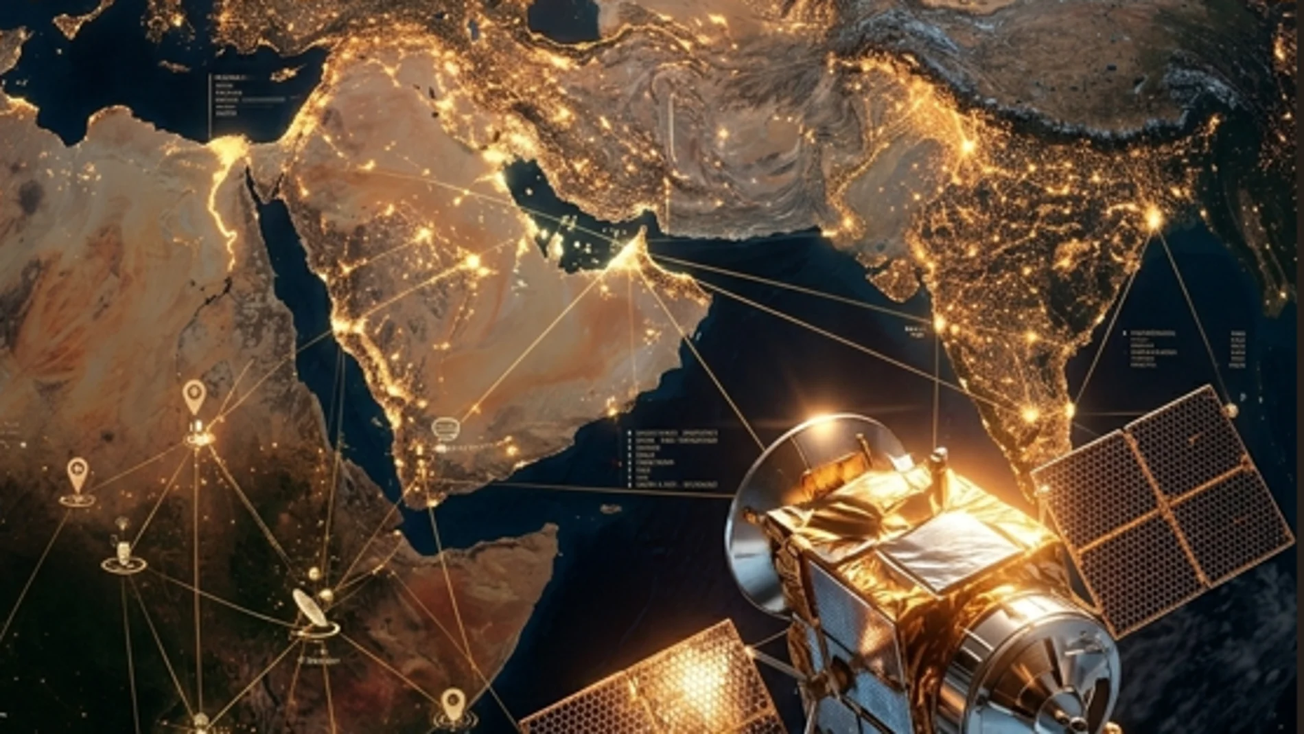
In recent months, a little-known satellite has jumped to the center of the international geopolitical debate: the TEE-01B, an earth observation device developed by China which, according to various information, would have been acquired by Iran to improve its surveillance capabilities. And with this, questions have begun to arise.
What exactly is the TEE-01B? What can you see from space? And why is it generating so much concern? TEE-01B is part of a new generation of Earth observation satellites designed to provide high-precision images from low orbit. It was launched on June 6, 2024 from the Jiuquan space center in China, and operates at an altitude of approximately 545 kilometers above Earth.
This orbit, known as low Earth orbit, is ideal for capturing detailed images of the surface. Despite its relatively small size, around 112 kilograms, The satellite incorporates an advanced optical camera capable of obtaining images with surprising resolution.
That is, precisely, the key information to understand its capabilities. The TEE-01B can achieve a resolution of about 0.5 meters in panchromatic mode and about 2 meters in multispectral mode. Translated into something tangible, it means that it can distinguish objects the size of half a meter from space. In practice, this makes it possible to identify individual vehicles, observe details of aircraft on runways, detect changes in infrastructure or follow the evolution of specific facilities.
To achieve this, the satellite uses different types of sensors. On the one hand, a panchromatic camera that captures black and white images with the highest level of detail. On the other hand, multispectral sensors that They record information at various wavelengths, including near infrared. This not only allows us to “see” the earth’s surface, but also to analyze it: from the state of crops to soil humidity, through environmental changes or industrial activity.
In addition, it can operate in different capture modes, such as continuous scanning throughout its orbit or obtaining stereoscopic images that allow the relief to be reconstructed in three dimensions. Added to this is another of its great advantages: the ability to revisit the same point on the planet in very short intervals. Thanks to its integration into a constellation, it can offer global coverage and observe the same area almost daily, with response times of just a few hours in urgent situations.
Officially, TEE-01B is a commercial satellite designed for civilian uses. These include precision agriculture, ocean monitoring, natural disaster management, mapping or infrastructure monitoring. In that sense, it is not an anomaly, but part of an increasingly widespread trend: the proliferation of spatial tools at the service of the economy and territorial management.
However, its true impact lies in what is known as dual-use technology. The same capabilities that allow us to analyze crops or anticipate floods can also be used to monitor military installations, detect logistical movements or assess damage after an attack. This ambiguity is what has placed TEE-01B at the center of international attention. Some information suggests that Iran would have used this type of technology to observe military bases and improve its strategic analysis capacityalthough these extremes have not been officially confirmed and remain the subject of debate.
Beyond the specific case, TEE-01B illustrates a more profound change. For decades, detailed observation from space was a capability reserved for a handful of powers. Today, however, Relatively small and accessible satellites can offer a level of detail that was previously unthinkable outside of military programs. Private companies launch them, countries without large space agencies can acquire them, and the data circulates almost in real time through global networks.
TEE-01B is not the largest or most complex satellite ever built, but it represents something more significant: the normalization of a precise, constant and global view from space. And with it, an inevitable question that no longer belongs only to science or engineering, but also to politics and society: Who ultimately controls what can be seen from up there?