
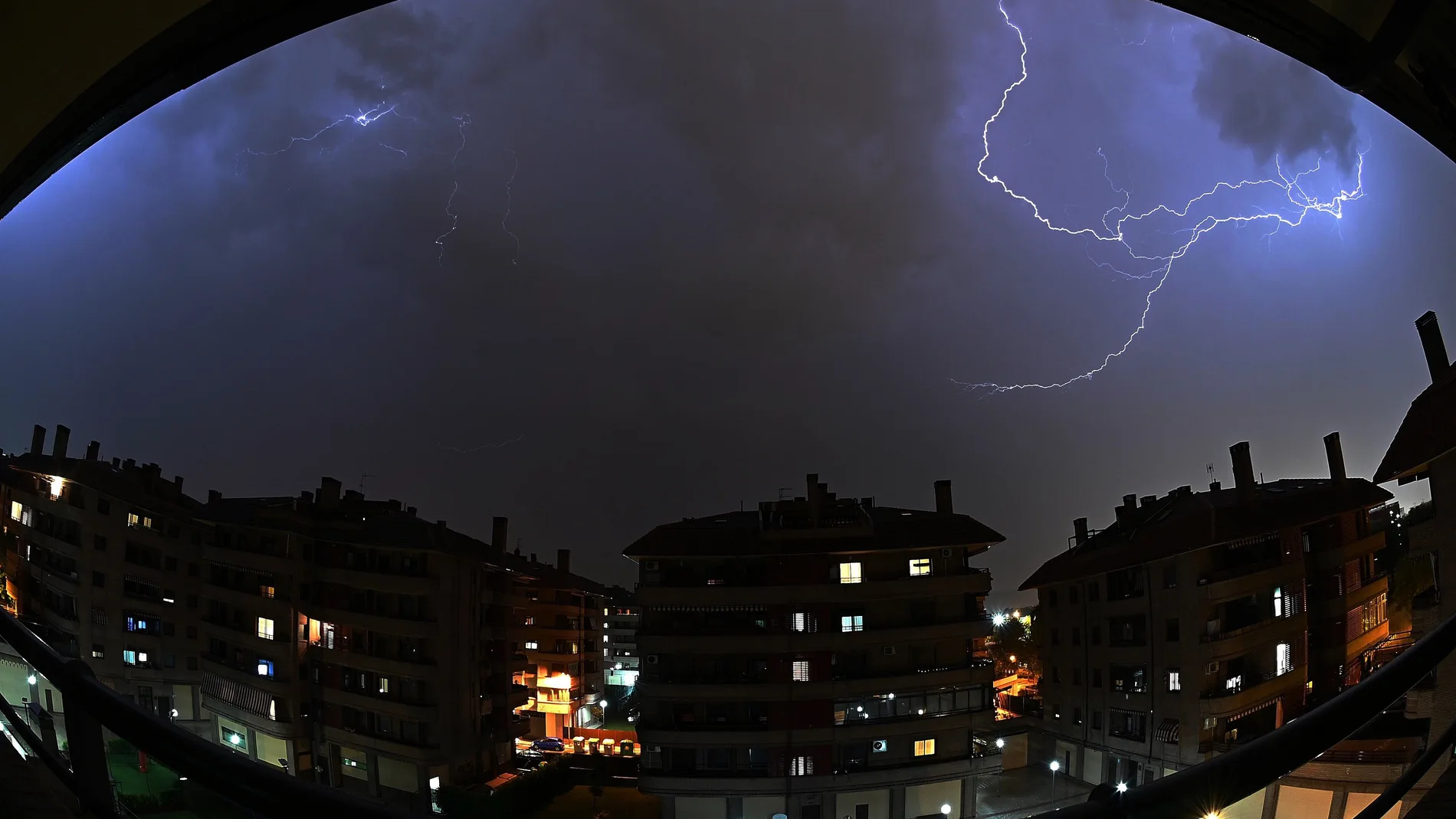
Thermometers will continue their climb this week towards midsummer values. Meanwhile, the presence of a small DANA in the northwest of the peninsula threatens to unleash high intensity storms, hail and violent gusts of wind in the coming hours.
The State Meteorological Agency (AEMET) has activated the yellow warning in Asturias (due to heat and storms), Cantabria, Basque Country and the Canary Islands (due to high temperatures), and in Castilla y León and Galicia (due to risk of storms).
Added to this map of warnings is the province of Cádiz, in Andalusia, where the concern is focused on the easterly wind, with gusts between 70 and 80 km/h in the Strait, and a strong sea storm along the entire Cádiz coast.
The north and the Canary Islands, at more than 34 degrees
After a weekend marked by intense heat in the south of the peninsula, with maximum temperatures close to 38 °C in Badajoz, Córdoba, Jaén and Seville, the thermal rise moves today towards the north and the Canary Islands.
In the archipelago, the islands of Gran Canaria, Lanzarote and Fuerteventura will register maximums of between 34 °C and 35 °C.
In it north of the peninsula, thermometers will exceed 34 °C in large areas of Cantabria, Asturias, the interior of Guipúzcoa and both on the coast and in the interior of Biscay.
Alert for severe phenomena starting in the afternoon
The greatest risk will come after 5:00 p.m. The center of the DANAlocated over western Galicia, will begin to slowly retreat northwards before being absorbed by a trough on Wednesday in Ireland. However, before disappearing it will favor the formation of very organized storms due to the collision between the cold air at height and the heat accumulated on the surface, according to Meteored.
Meteorological models warn of two potentially adverse phenomena. On the one hand, it is expected large hailwith pstones of more than 2 centimeters in areas of León, western Asturias and northern Galicia. Occasionally, in areas of the northern galicia Even the fall of hailstones greater than the 5 centimeters.
Furthermore, according to Meteored, storms could be accompanied by “blowouts” and very intense gusts of windwhich would exceed 80 km/h in different parts of Castilla y León, Asturias, the north of Galicia and the western end of Cantabria.
An extremely hot start to meteorological summer
This situation comes at the start of a week that the AEMET already describes as “very hot.” Between May 25 and 31, the fully summer atmosphere will prevail in much of the country and temperatures could reach 40 ºC in areas of the interior of the peninsula.
The trend will continue with the start of the meteorological summer, next June 1. The forecasts indicate that the first two weeks of the month will maintain temperatures clearly higher than usual for this time of year and little rainfall in most of Spain.