
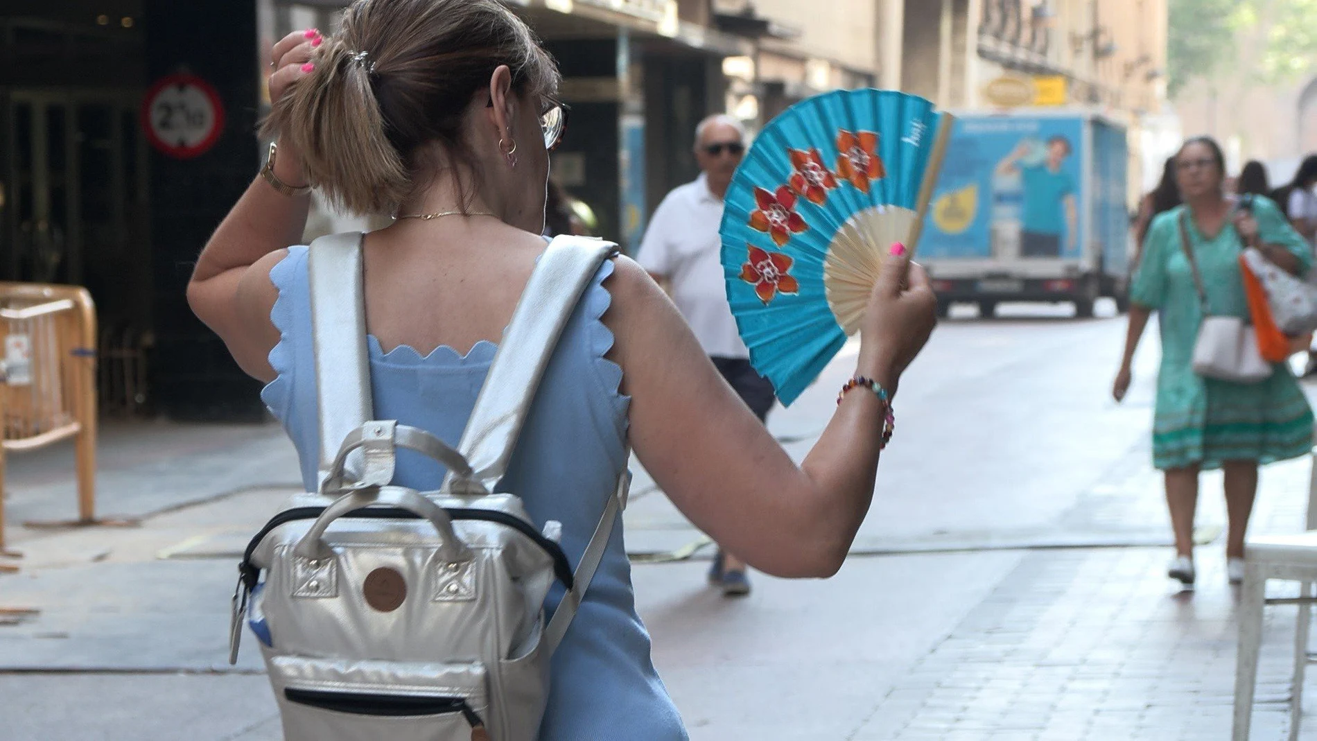
On Friday, August 7, he will draw a Spain split in two by the thermometer. While the southern and northeastern provinces will see how the mercury easily exceeds the 35 degrees, a narrow strip of the northern peninsula will breathe relieved with much milder values.
The AEMET warns of high temperatures in large areas of the southern and eastern halves of the peninsula, as well as in parts of the Balearic Islands and the Canary Islands. In the Guadalquivir valley the maximum peakwith Córdoba reaching the 41 degreesfollowed closely by Jaén with 39. The capitals of the plateau will not be spared from the suffocation: Toledo and Ciudad Real will mark 39 degrees, Madrid 37 and Zaragoza 39. On the Mediterranean coast, the mercury will move between 32 and 34 degrees, but humidity will trigger the feeling of embarrassment.
The dawn will not give a truce either. The tropical nights (those in which the thermometer does not go below 20 degrees) in much of the southeast half of the peninsula and the Balearic Islands. In some points of the Mediterranean arc and in Canary Islands The minimum temperature will even be close to 25 degrees, a circumstance that makes rest difficult and that health services associate with an increase in fatigue in the vulnerable population.
The north, a cool refuge
In front of that map torridthe communities of the Cantabrian coast and a good part of Galicia will remain outside the heatwave.
To Coruña It will remain at a maximum of 27 degrees, Pontevedra in 29, Oviedo in 27, Santander in 25 and Donostia at 25. These are values that, in the middle of summer, make these cities an exception on a scorching Friday.
The meteorological explanation lies in the entry of north and east winds on the Galician and Asturian coastline, which soften temperatures and also provide morning fog banks, possible coastal mists in Alborán and in the Galician Atlantic. In Bilbaohowever, the maximum will be 28 degrees and in Victoria of 32, which leaves the capital of Alava outside of that thermal refuge.
Storms in the east
If the southern half and the northeast deal with the heat, the eastern interior and the southeast of the peninsula will have to face another threat: storms that, according to the AEMET, can be strong and will be accompanied by hail and very strong gusts of wind.
The combination of heat on the surface and cold air at altitude, together with the diurnal evolution of clouds, will create the conditions propitious so that the showers are intense in points of the eastern North plateau and in the interior of the east and southeast, without ruling out the Pyrenees.
The rest of the country will live a day predominantly stable, with slightly cloudy or clear skies, except in the north of Galicia and the Cantabrian area, where cloudy skies are expected that will tend to lift throughout the day. In Canary Islandsthe trade winds will blow with strong intervals and very strong gusts, a circumstance that keeps the islands under a specific wind warning regardless of temperatures.