
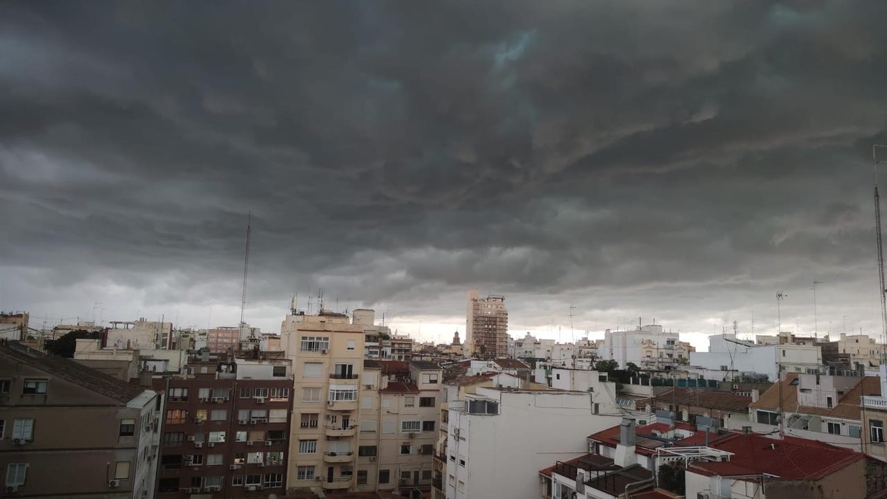
A week begins that is expected to be very rainy in a large part of Spain. The withdrawal of the anticyclone that has dominated the last few days will allow the approach of a powerful storm, known as ‘Garoé’, which will bring open winds between Monday and Wednesday to several regions of the country. By the end of the week, it is expected approach of new Atlantic fronts that will continue to provide precipitation.
The State Meteorological Agency (AEMET) has already issued several warnings for this Monday. In regions such as Castilla y León, the Iberian System, the Pyrenees and parts of Navarra, snowfall with significant accumulations is expected, especially at altitudes between 700 and 1,000 meters.. In the northeast, the snow level may drop to 500 meters, while temperatures will experience a marked drop. Furthermore, in the Pyrenees, the frosts will be intense, extending less severely into the northeastern half.
Regarding the winds, they are expected strong gusts on the coasts of western Galicia, the Gulf of Cádiz and the Canary Islands, with locally intense intervals. The dominant winds will be from the southwest in most of the Peninsula, while in the Mediterranean area there could be winds to the east in areas such as Alborán.
The approach of the storm will causepersistent and widespread rains. The most abundant will be concentrated in the southwest quadrant, with significant accumulations in mountainous areas of Extremadura and western Andalusia.. In areas of the northern third, some rains could be freezing due to low temperatures.
In the Balearic Islands, the day will begin with cloudy intervals that will progressively increase, and scattered rainfall is not ruled out at some times of the day. On the other hand, in the Canary archipelago, the sky will become cloudy in the west, with the probability of rain at the end of the day in La Palma.
Maximum temperatures will rise in the archipelagos and in the eastern and western extremes of the Peninsula, but will experience decreases in the rest of the territory. lMinimum temperatures will fall in the Balearic Islands and Catalonia, while a slight rise is expected on the Cantabrian and Atlantic slopes. Although the frosts will lose extent and intensity, they will continue to affect large inland areas of the northeast, being especially severe in the Pyrenees.
The cold winds arrive
For its part, Meteored indicates that the storm ‘Garoé’ will bring with it the characteristic open winds. These winds, known as “raining winds” by farmersare essential for water supply in regions such as Extremadura, Andalusia and both plateaus. “They are associated with Atlantic storms, where air masses from oceanic subtropical regions come to provide efficient rivers of humidity. In general, their origin is in the area between the Canary Islands and the Azores,” they explain from the meteorological portal.
The abregos have particular characteristics that make them different from other winds in the Iberian Peninsula. These are soft winds loaded with humidity due to their origin in the Atlantic, which causes an increase in temperatures and humidity in the areas they cross, being transported by Atlantic storms.
Starting this Monday, the winds are expected to begin to blow, generating copious and widespread rains that will extend throughout the week. Precipitation will be especially significant in mountain areas of Extremadura, the south of the Central System and in the Guadalquivi valley.r. However, on the Mediterranean slope, these winds arrive drier, resulting in less rainfall and a notable increase in temperatures.
“During the entire episode, more than 150 liters per square meter could accumulate in certain sectors of the aforementioned regions, even exceeding 200 l/m² in elevated areas exposed to southwest winds”Meteored warns.
When will this rainy episode end?
Although Garoé will leave our territory in the early hours of next Thursday, rainfall will continue in the north of the peninsula. The entry of an anticyclonic wedge will temporarily stabilize the atmosphere. However, Meteored experts anticipate that this stabilization is temporary, since it is likely that new disturbances or troughs will arrive from the west of the Peninsula, bringing new rain from the beginning of next weekend.