
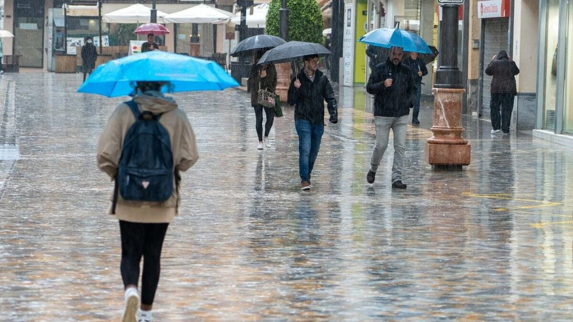
Stability will dominate a good part of the country during Tuesday, September 8, although an Atlantic front will change the weather in Galicia and the west of the Cantabrian area, where the rain may gain intensity and continuity. In the rest, the sun will coexist with intervals of low clouds and isolated showers.
The heat will continue to be one of the highlights of the day. The maximum temperatures will exceed 35 degrees in large areas of the archipelagos, the southern half and the northeast of the peninsula, with values of up to 39 degrees in Córdoba, Seville, Murcia and Zaragoza, and 38 in Lleida.
The thermal decrease will be more visible in the west. Galicia will have the most pronounced drop of the maximum temperatures, higher than six degrees, with 24 degrees expected in A Coruña, 23 in Pontevedra and 24 in Lugo. At the opposite extreme, the nights will continue to be hot in the south, the Mediterranean and the Canary Islands.
The front and cloud cover in the north
The AEMET attributes the change in the northwest to the arrival of a front that will leave overcast skies and precipitation. Galicia and the western Cantabrian region will concentrate the rain more persistent and with greater local intensity, while the rest of the Cantabrian Sea will receive an advance in cloudiness. The haze will continue in the Canary Islands and, to a lesser extent, in the south of the peninsula.
Fog banks are also expected during the morning in Galicia, the Cantabrian Sea, the upper Ebro, the northern plateau and the Balearic Islands, as well as coastal mists in the Strait and Alborán. Evolution clouds will grow in the afternoon in the mountains of the center, south and east, with the possibility of some isolated showers or storms in the lower Ebro and the Pyrenees.
Heat, tropical nights and wind
The warm episode will maintain unusual values for these dates in much of Spain. The Guadalquivir valley can exceed 40 degreeswhile large areas of the southern half and the northeast will be around or above 35. The Ebro valley will reach 39 degrees in Zaragoza and will maintain the heat in the northeast.
The minimum temperatures will not give a respite in large areas either. Tropical nights will continue to extend in the southern half and the northeast of the peninsula, with records above 20 degrees, and they may exceed 25 on the Mediterranean coasts and the Canary Islands. In the north, however, the decrease will be more noticeable, especially after the passage of the front.
The wind will be weak from the west in much of the Peninsula, although it will change after the frontal advance. The wind will blow with very strong gusts in the Ebro, while the northern third will receive moderate wind from the north. In the Balearic Islands and the Mediterranean the southern component will predominate and in the Canary Islands the moderate trade wind will continue.
The distribution of temperatures will leave marked contrasts between capitals. Madrid will reach 35 degrees and Valencia 35compared to 27 in Bilbao and Oviedo, 25 in Donostia/San Sebastián and 24 in Santander. The AEMET forecast thus places the most intense heat in the south and northeast, with the clearest relief in Galicia.