
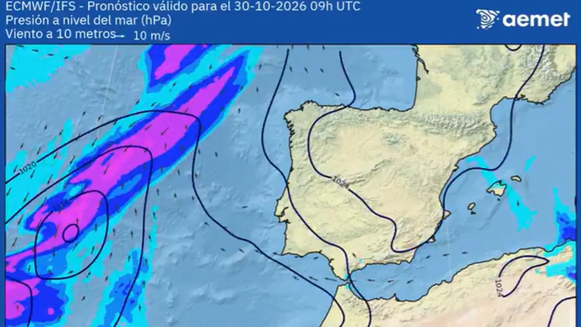
The final stretch of the month of October is preparing to say goodbye with a meteorological panorama that is far from the traditional autumn. Far from the usual morning scarves and coats, the thermometers will register unusually high values for the dates in which we find ourselves, with daytime temperatures that will generally exceed 20 degrees in much of the country and that will touch, or even surpass, the barrier of 30 degrees in the south of the peninsula.
According to Rubén del Campo, spokesperson for the State Meteorological Agency (AEMET)the stable weather will coexist with some precipitation in the Cantabrian Sea, points in the Mediterranean area and the most mountainous islands of the Canary Islands.
The thermometer shoots up in the south while the minimums drop below 10 degrees
The thermal contrast between day and night will be one of the main protagonists of these last days of October. During the central hours of the day, thermometers will exceed 25 degrees in much of the southern half and will be around 30 in some points. Seville will be one of the warmest capitals, with maximums of between 30 and 31 degrees during the week, while Murcia will reach 29 degrees this Tuesday, according to the forecast collected by Servimedia.
In other areas, temperatures will be more moderate. This Monday, A Coruña, Pontevedra and Santander will register maximums of about 21 degrees. On Tuesday, A Coruña, Oviedo and Salamanca will be around 19 degrees, while on Wednesday cities such as Burgos, León, San Sebastián, Santander and Vitoria will remain around 18 degrees.
At night, the panorama will be different. The minimum temperatures will drop below 10 degrees in large areas of the interior of the peninsula, with values more typical of autumn than the maximum temperatures predicted for the central hours of the day.
Where will it rain this week in Spain?
Despite the predominance of stability, the AEMET forecast contemplates rain in several areas over the next few days.
On Tuesday, a front will leave rainfall in Galicia, which may extend to the Cantabrian Sea and the Pyrenees throughout the day. In addition, rain is expected on the most mountainous islands of Canary Islandswhere the intense haze. This phenomenon, caused by the presence of suspended dust, can reduce visibility and worsen air quality.
He Wednesdays, precipitation will subside in the extreme north, although the entry of winds from the northeast and east will favor the arrival of humidity to the Mediterranean façade. They will be able to register showers in Catalonia and rains in the Balearic Islands, the south of the Valencian Community and some areas of Murcia.
He Thursday A similar situation will continue, with possible rainfall in the Mediterranean area and southern Andalusia. Some rain is also expected on the most prominent islands of the Canary Islands.
What will the weather be like on Friday and the weekend?
On Friday and Saturday, generally stable conditions will continue, with slightly cloudy skies in much of Spain and some light rains in the Mediterranean area. On Saturday, the passage of a atlantic front could leave more cloudiness and weak rainfall in the Cantabrian Seain addition to a drop in temperatures andn this area.
In the rest of the country, thermometers will hardly experience significant changes, with mild daytime temperatures and nighttime values in line with the time of year.
What will happen on Sunday?
Starting Sunday, changes in the weather could occur. Although current models present a considerable margin of uncertainty, experts warn of a possible tipping point.
At the end of the weekend and during the first days of next week, there could be a general drop in temperatures in the Peninsula, accompanied by a increase and extension of rainfall.
The rains could especially affect the Mediterranean area and the Balearic Islands, with the possibility of them being intense in some points. This scenario would put an end to the episode of unusually high temperatures for the time.