
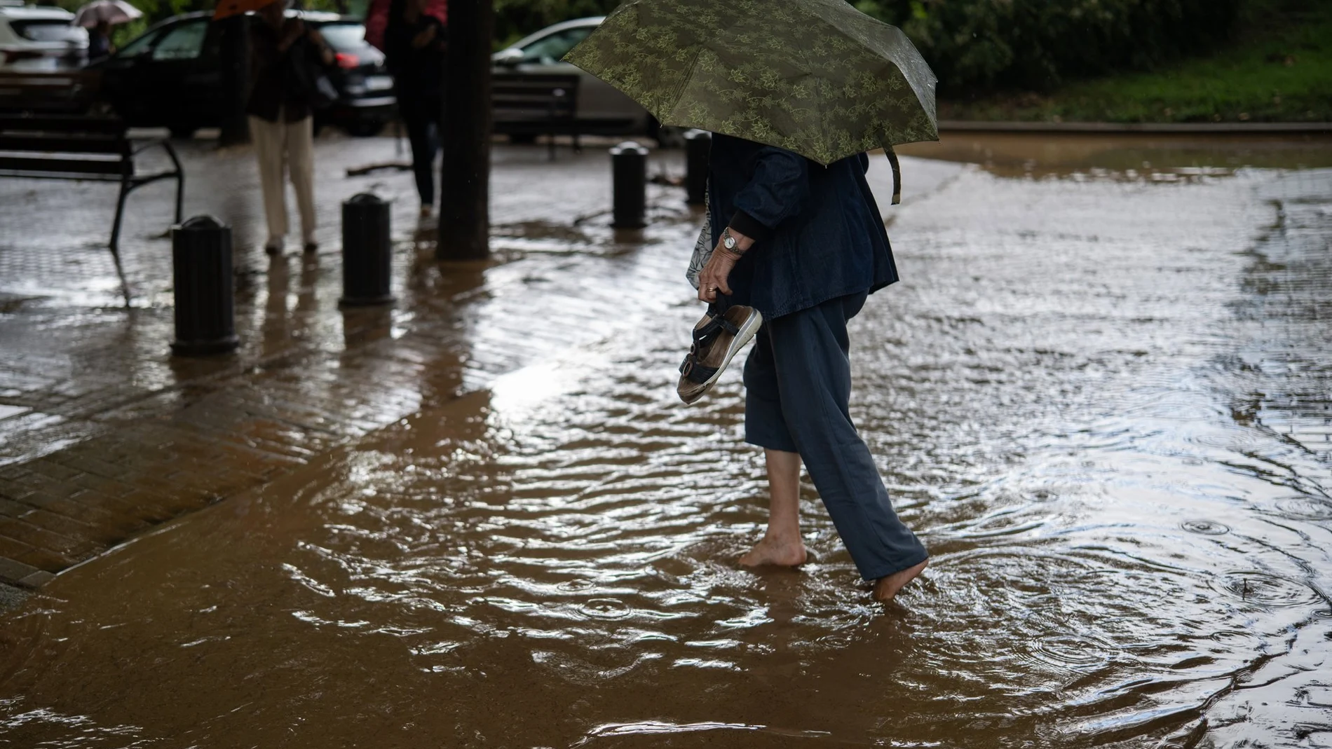
The State Meteorological Agency (AEMET) has raised the alert to red notice (extreme danger) in it pre-coastal of Barcelona given the risk of heavy rains, in a storm that already has already claimed the lives of two people in Tordera and Montornès del Vallès and keeps the rescue teams searching for a missing.
According to the agency’s predictions, the showers in the area around Granollers could leave rainfall of more than 90 liters per square meter in just one hourwhile warning of the risk of floods and floods sudden in rivers, streams and ravines. Likewise, the rainfall episode has left rainfall records, numerous roads closed due to accumulation on the road and the suspension of various services.
Given this critical situation, Civil Protection of the Generalitat has sent a ES-Alert notification to the mobile phones of residents of the Vallès Oriental and Maresme regions. For its part, the Generalitat of Catalonia requests Take extreme precautions when traveling and do not approach flood zones.
Barcelona activates the emergency and suffers cuts in the Metro
This Monday, Barcelona City Council activated the emergency Municipal Emergency Action Planl due to the risk of drainage insufficiency due to the rains and storms that affect the city, after the device was activated on Friday in the alert phase.
In a statement, the council has recommended Check the roofs of buildings, disconnect electrical appliances and remove outdoor furniture, in addition to bringing pets into the house, storing toxic products and having your cell phone, charger, medications, warm clothing and personal documentation on hand. has also requested exercise extreme caution while drivingmoderate speed, brake gently and maintain a safe distance, reiterating not to cross flood zones and stop the vehicle if necessary.
The rains are also causing serious incidents in the Barcelona Metro network. Line L1 does not provide service between La Sagrera and Torras i Bages, while the platform in the direction of Fondo de Rambla Just Oliveras has been closed due to flooding. On L4, the service, which had been temporarily interrupted due to a technical incident, resumed at around 10:40 a.m., although it remains cut off between Maragall and Trinitat Nova, as reported by Transports Metropolitans de Barcelona (TMB) in ‘X’.
On the other hand, service has been recovered on L9 Sud between Mercabarna and Europa-Fira, while the platform towards Trinitat Nova at the Torre Baró-Vallbona station on L11 has been closed. The cuts also continue on L3, L9 Nord and L10 Nord.
Significant risk in three other communities
Meteorological instability affects much of Spainwith nine autonomous communities under warning for rains and storms that could be accompanied by large hail. In orange level (significant risk) are found Catalonia, Castilla y León and Extremadura. In Ampurdán (Girona) more than 60 liters per square meter are expected in one hour and more than 100 liters in twelve hours.
The orange warnings in Catalonia will be in force until noon, while in the central system, plateau and south of Salamancaas well as in the north of Cácereswhere accumulations of more than 30 liters per hour are expected, the Alerts will come into force from 5:00 p.m.
On the other hand, they remain in yellow warning for low risk of rain and storms the communities of Asturias, Castilla-La Mancha, Galicia, Madrid, Murcia and the Balearic Islandswith forecasts of between 15 and 20 liters per square meter in one hour.
Instability throughout the week
On Tuesday, instability will increase and showers with thunderstorms will be more widespread, and can fall almost anywhere, although with greater intensity in the northern third and the center of the peninsula, according to the latest forecast from the AEMET.
They may be strong and even very strong with important accumulations in Extremadura, western Castilla-La Mancha and the surroundings of the Central Systemaccompanied by hail. In the Canary Islands there may be showers throughout the archipelago, while temperatures will be lower throughout Spain except in the Mediterranean.
He Wednesday the thermal decline will continuemore pronounced in the north of the peninsula and in the Canary Islands, with abundant rainfall in the northern third, where it will be strong or very strong and persistent in the Cantabrian Sea, the northeast and the Balearic Islands.
From Thursday it is likely that a more anticyclonic and stable weather, although the rains may still be intense in the extreme north, Catalonia and the Balearic Islands. As for the weekend, rainfall will decrease starting on Friday, with cool temperatures for the season although with a tendency to rise heading into the weekend.