
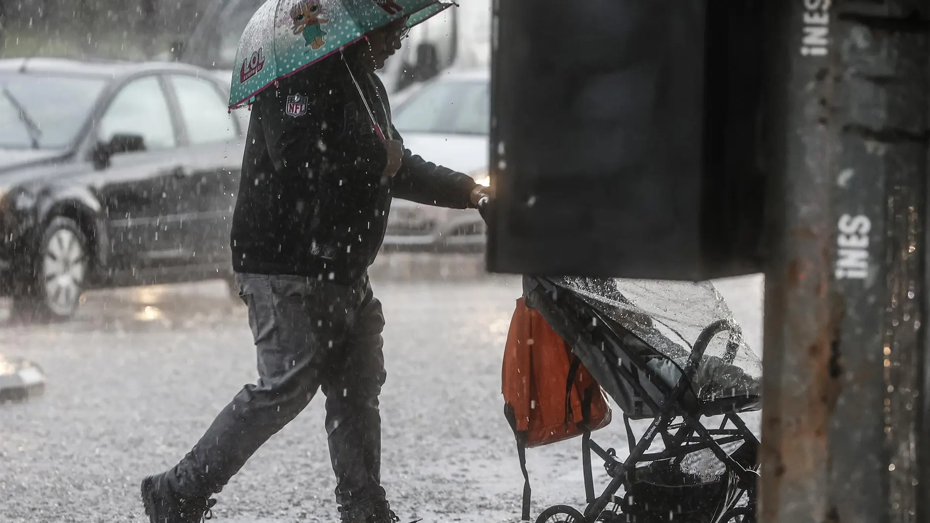
The weather will change clearly in several areas of Spain on Thursday, September 17. The episode will have its main focus on Balearic Islands and the southeast of the peninsulawhere the combination of cold air at altitude and humidity will favor the development of showers and storms in the Mediterranean.
The most unstable situation will be concentrated early morning and during the early hours in the morning in the Balearic archipelago, Albacete, the Valencian Community, Murcia and Almería. On the southeastern coasts, rainfall may occur with intensity in very short intervals and leave significant accumulations.
As the day progresses, instability will be distributed unevenly. The storms may persist in the most affected areas, although with less force, and then extend to the Betic systems. In much of the rest of the country, the clear skies or high cloudsexcept in the Cantabrian Sea and the Canary Islands. In the high areas of the northern third and in the Strait, mists and fog banks may also appear during the morning.
The areas with the highest risk
The AEMET places the most adverse episode in the Balearic IslandsAlbacete and its nearby areas, the Valencian Community, Murcia and Almería. In these territories, showers and storms with hail, strong or very strong, are expected, especially at dawn and at the beginning of the morning.
On the coasts of the southeastern regions there is a possibility of important accumulations in a short time and that the intensity becomes torrential. During the afternoon, storms will continue to affect these areas, predictably with less intensity, and may also appear in the Betic systems and nearby areas. In the Balearic Islands, furthermore, the discharges will be accompanied by very strong gusts of wind.
The Cantabrian will have cloudy or overcast skies and will receive a front in the last hours, with weak rainfall. In the rest of the Peninsula, slightly cloudy skies will predominate, while in the Canary Islands, cloudy intervals are expected in the north of the islands and less cloudiness in the south.
Thermometers and wind gusts
Maximum temperatures will drop in the southern half, the northern plateau, the Mediterranean coast, the archipelagos, Ceuta and Melilla. The AEMET foresees notable declines in the southeast quadrantwith 24 degrees in Albacete, 25 in Murcia, 28 in Alicante and 29 in Almería. Seville will reach 33 degrees, while Córdoba and Badajoz will reach 32.
The minimum temperatures will also decrease throughout the country, except in Badajoz and Huelva, where they will increase. There will be weak frosts in high areas of the Pyrenees, in addition to mists and fog banks morning in elevated areas of the northern third and in the Strait. In the Canary Islands, the haze will begin to subside.
Moderate winds will blow on the coasts, from the northwest in the Cantabrian Sea and GaliciaTramuntana in Ampurdán and Menorca, with an eastern component in the rest of the Mediterranean and from the southwest in the Gulf of Cádiz. In the interior it will be weak or moderate, from the north in the northern half and from the south in the southern half; In the Canary Islands it will blow from the north, with very strong gusts in exposed areas.