
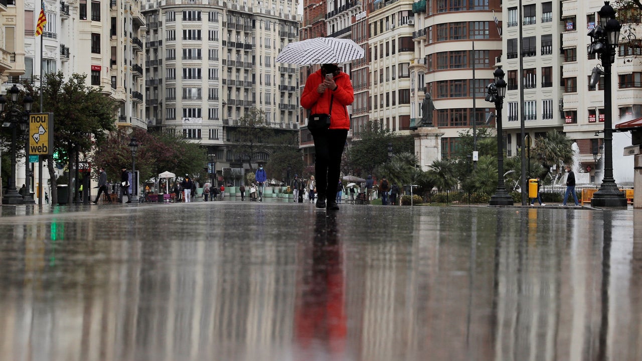
An Atlantic trough will travel the peninsula and the Balearic Islands at the beginning of the week, which will cause a marked instability in the Mediterranean area,especially during Monday and Tuesday. Although the situation will begin to improve on Wednesday, showers and strong or very strong storms are still expected until noon.
Between this Monday and Wednesday, the atmospheric situation will cause the Formation of showers and intense storms in areas of the Eastern Peninsular Third and in the Balearic Islands, which can be very strong, and even torrentialwith significant rain accumulated.
Notices for rains and storms in several communities
The State Meteorology Agency (AEMET) has activated red, orange and yellow notices on Monday for adverse phenomena in a large part of the East Peninsular and Balearic Islands.
The extreme risk situation is found on the southern coast of Tarragona, on red alert by accumulated precipitation of 90 l/m2 in one hour. Meteorology points out that the red warning for “torrential intensity rains” will be active, in principle, between 15 and 9 pmwhen there may be sudden floods and floods in the areaand ask citizens caution.
In addition, Civil Protection of the Generalitat has active, in the alert phase, the Special Plan for Flood Emergencies of Catalonia (INUNCAT) for the forecast of heavy rains, mainly in the morning at the Camp de Tarragona and in the afternoon in Las Terres de l’Ebre.
In the rest of the province the orange (important) notice is activated by rains up to 150 l /m2 in 12 hours that could be reached between 3 and 6 hours. Barcelona, Gerona and Lleida also have orange notice for rains and yellow for storms.
In the case of Aragón, Huesca and Teruel have active orange warnings for rains up to 60 l/m2 that could be accompanied by hail storms and very strong wind gusts. The most affected areas will be the Oscense Pyrenees and the Bajo Aragon.
In the Valencian Community, it is important by rains that could be 120 l/m2 in 12 hours in Castellón, amount that could accumulate in less than six hours on the northern coast. In the case of Valencia and Alicante, the storm warning is also orange and yellow in Castellón.
For its part, The Region of Murcia, the Island of Mallorca (Balearic Islands) and the province of Albacete (Castilla-La Mancha) are yellow (risk) for storms or rain with accumulations between 15 and 25 liters in one hour. In addition, this Monday it will also rain in the Cantabrian communities, although without so much intensity
As for temperatures, a decrease in the north and east of the peninsula is expected and without changes in the rest. In the Cantabrian, they will barely reach 18-20 degrees, maximum away from Córdoba or Malaga with 35 degrees.
On Tuesday, more instability in the Balearic Islands
On Tuesday, with the advance of the trough east, The instability will remain in the Eastern Peninsular third and will increase remarkably in the Balearic Islands.
According to the AEMET, that will be the peak in the Balearic Islands, with locally strong spikes and storms (greater than 30 liters per square meter in an hour) or torrential (greater than 60 liters), with accumulations of 140 liters per square meter in 12 hours, with very strong gusts and/or large hail. This day will also rain more softly in the Cantabrian.
Temperatures will drop, except in points of the Cantabrian, and only 30 degrees will be reached in the Guadalquivir Valley, Costa del Sol and in points of Eastern Andalusia.
Progressive improvement from Wednesday
Although instability will decrease on Wednesday, they could still occur Chubascos and strong or very strong storms on the Mediterranean coast and in the Balearic Islands until the central hours of the day.
From the afternoon, the most likely scenario is that the trough moved away towards the central Mediterranean, thus referring the instability and the probability of rainfall, this would mean the end of this episode of showers and storms.
On the other hand, A front will arrive in Galicia and leave abundant rains in the west of the communitywhich will be extended to the rest of the Cantabrian communities and the Northern Plateau.
The early morning will be fresh inside the northern half and Cities such as Vitoria, Soria, Teruel or Burgos will have minimums of 7 to 9 degrees.