
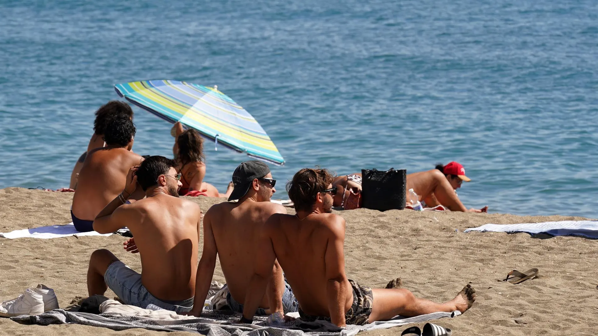
The distancing of DANA Towards the west of the Peninsula this Tuesday, August 18, will give way to a stable day with high heat in much of the country.
The AEMET explains that the skies will be slightly cloudy or clear in general, with low clouds only in the north endthe Strait area, Ceuta and Melilla, which will tend to clear as the day progresses. Maximum temperatures will rise in the northern half, Malaga, the southeast of the peninsula and the Canary Islands, while in the southwest and the Balearic Islands they will remain the same. no changes or they will go down slightly.
Heat in the interior and south
The thermal rise will be strongly felt in almost all of Spain. According to the prediction spread by AEMETtemperatures may exceed 35 degrees in the Balearic Islands and in practically the entire Peninsula, except in the Cantabrian Sea and mountain areas.
In the Guadalquivir valley the thermometers will reach or exceed 40 degrees. The provincial capital with the highest maximum will be Ourense, which will reach a maximum of 42 degrees and a minimum of 19 degrees. Lleida and Toledo will also reach 40 degrees, while Albacete, Badajoz, Cáceres, Ciudad Real, Córdoba, Granada, Guadalajara, Jaén, Seville, Teruel, Zaragoza and Madrid will be between 38 and 39 degrees.
Clouds, storms and wind
Although stability will dominate the day, AEMET indicates that the extreme north, the Strait area, Ceuta and Melilla may register low clouds at the beginning of the day, with a tendency to clear later. In the afternoon, cloudiness evolving will grow in parts of the interior of the peninsula and isolated storms are not ruled out in the main mountain systems of the east and in the Pyrenees.
In the Canary Islands they expect cloudy intervals which could leave some precipitation on the mountainous islands. During the morning, mists or fog banks are also possible in the extreme north and west of Alborán.
They will follow tropical nightswithout dropping below 20 degrees, in large areas of the southwest, the Mediterranean coasts and occasionally in the northeast and the Cantabrian Sea. Minimum temperatures will go down in the northeast and southwest, while they will rise in points in the center and remain unchanged in the rest. As for the wind, in the southern half it will blow lightly from the south; In the northern half it will be loose and variable. In it Cantabrian and Galicia The eastern component will predominate, weak in general and more intense on the Galician coast. On the Mediterranean side and the Balearic Islands, light winds are expected from the east or southeast, and in the northern Canary Islands, moderate winds are expected.