
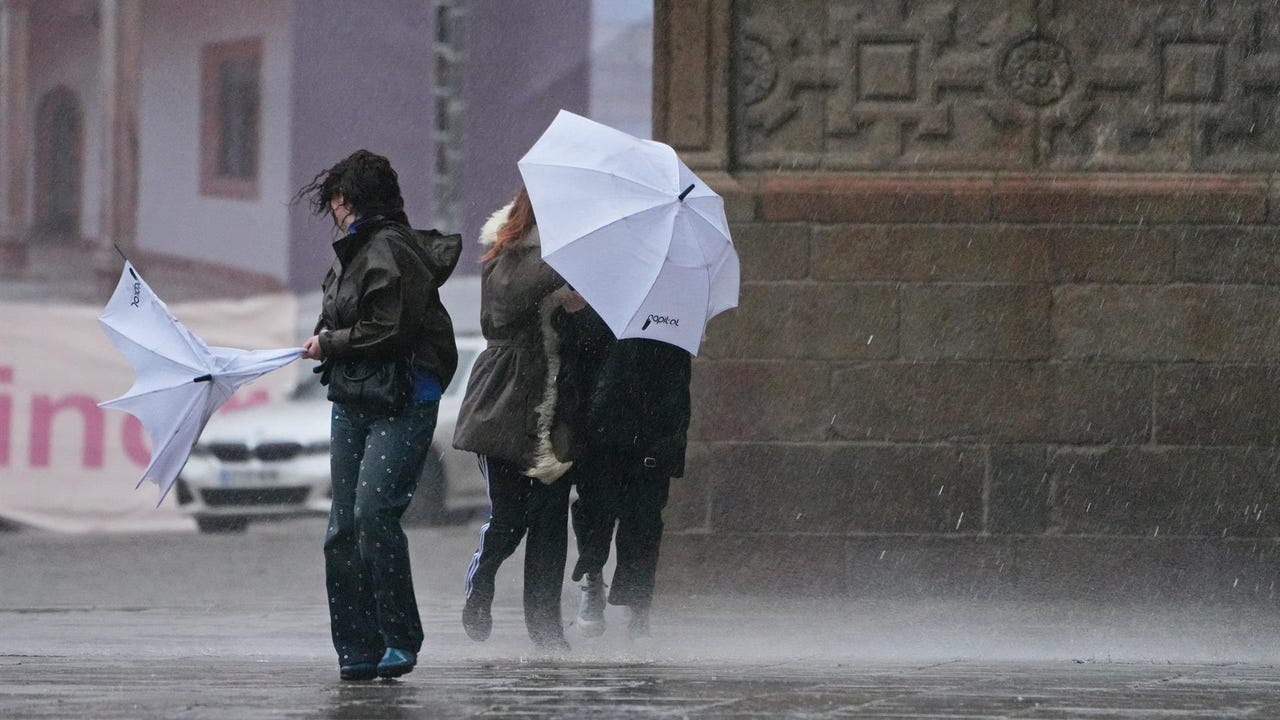
The Storm Regina This Wednesday will leave a notable drop in temperatures in large areas of the country, accompanied by muddy rain, intense gusts of wind, locally heavy rainfall that will advance from south to north, according to the prediction of the State Meteorological Agency (AEMET).
The front will especially affect Andalusia, also extending to Castilla-La Mancha and Madrid, without ruling out Extremadura. The storm keeps seven communities and the autonomous city of Ceuta on yellow alert due to wind, rain, coastal phenomena and storms. In the case of the Canary Islands, the warning increases to orange level due to coastal phenomena.
Canary Islands, on orange warning due to strong waves
The Canary archipelago will be one of the areas most affected by the maritime storm. They are expected waves between 5 and 6 meterswhich could occasionally reach 6 to 7 meters in Lanzarote and Fuerteventura. Furthermore, the north of Gran Canaria is under an orange warning due to the forecast of waves of up to 5 meters. The rest of the archipelago maintains the yellow alert for wind, with gusts of up to 80 kilometers per hour in large areas, and for coastal phenomena, in warnings that will last until 5:00 p.m. on most of the islands.
Andalusia and central area, under intense rainfall
On the Peninsula, Andalusia will activate yellow warnings for rain, storms and waves. Precipitation may be accompanied by thunderstorms and occasional hail. They are expected accumulated more than 15 liters per square meter in one hour in points of Andalusia, Castilla-La Mancha and Madrid, without ruling out similar records in Extremadura and the east of the Canary Islands.
The most notable accumulations are expected in the area around the Strait, where 40 liters per square meter could be exceeded in twelve hoursa situation that will also significantly affect the autonomous city of Ceuta.
Intense wind and warnings on the Mediterranean coast
The wind will be another of the protagonists of the day. Wind gusts will exceed 70 kilometers per hour in areas of Albacete, Murcia, Alicante and La Mancha in Cuenca.
Likewise, yellow level coastal phenomena, with waves of up to 3 meters, are expected on the coast of Barcelona and Tarragona, as well as in Murcia, Alicante and Almería.
In addition to Andalusia, Castilla-La Mancha and Madrid, they are also on yellow weather alert Catalonia due to coastal phenomena; Region of Murcia and Valencian Community due to wind and rough seas; and Extremadura and Ceuta due to rains and storms.
On Thursday, intense rainfall on the Mediterranean coast
He Thursday The most intense and persistent showers are expected to affect the Mediterranean coast, with greater probability in areas of southern Valencia, Bajo Ebro and eastern Catalonia, occasionally accompanied by storms.
In the rest of the northeastern half of the peninsula and the Balearic Islands they will generally be moderate, although it is not ruled out that locally they could be strong and stormy.
The showers are likely to continue in the following days, with greater intensity and persistence in the north of the Mediterranean coast and areas of the western Cantabrian Sea, losing intensity in the Mediterranean area starting on Sunday.