
Starting next Saturday, Spain will experience a change in the “weather panorama”, according to Rubén Del Campo, spokesperson for the State Meteorological Agency (AEMET). The arrival of a polar air mass is expected, which will cause snowfall at very low levels (between 500 and 800 meters)in addition to a marked drop in temperature, sea storms and strong wind.
This mass of cold air will be driven by northerly winds, caused by an anticyclone in the Atlantic and a storm in Central Europe, which will also bring abundant cloudiness to the north of the peninsula. The rains will begin on Saturday, with the snow level dropping to 1,000 meters. In the rest of the country, anticyclonic weather will persist with fog and tcolder temperatures in the northespecially in mountainous areas. However, in the southeast of Spain, temperatures could still be around 25 degrees.
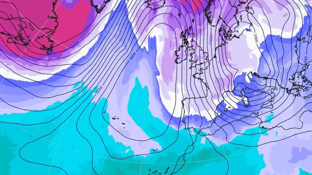
Where is the December Bridge going to snow?
For Sunday, The arrival of cold air will intensify, which will cause a drop in temperatures throughout Spain, with frosts in mountain areas, northern plateau and central moors. The AEMET predicts rain in the northern half, being more intense in the Cantabrian Sea and the Pyrenees, and snowfall in mountain areas and in the east of Castilla y León, north of Castilla-La Mancha and south of Aragón.
The snow level will drop to 500 meters in the northeast and 800 meters in the rest of the northern half, which could hinder circulation in the north of the country. As for temperatures, a very cold day is expected in cities like Burgos, León or Pamplona, where it will not exceed 5 degrees. In the interior of the country, temperatures will remain below 10 degrees.
The wind will also be the protagonist that day, when the Cerzo and Tramontana will especially intensify with very strong gusts in the northeast of the peninsula, the Balearic Islands and in mountain areas of the northern half of the peninsula, in addition to possible blizzards in the Pyrenees and Cantabrian mountain range. Coastal storms are also expected in the Cantabrian Sea and the Balearic Sea.
Winter weather also on Monday
On Monday, “winter weather” will continue, with even lower temperatures and widespread frost in the interiorexcept in the Ebro Valley and in the southwest of the peninsula. The maximum temperatures in many cities in the interior of the north will not exceed 5 degreess, and in the central and southern part of the country, they will remain below 10 degrees.
During this day, snow is expected in mountainous areas, especially in the Cantabrian mountain range and the Pyrenees, as well as in low areas in the north, such as the central and eastern area of Castilla y León, the north of Castilla-La Mancha and the south. of Aragón, with a snow level that will range between 500 and 700 meters. Snow is also expected in the mountains of Mallorca.
How long will this snow episode last?
The most likely scenario at this time is that the snow episode dure at least until Wednesday the 11th, although it may be extended for more days. Regarding location, AEMET admits that it is not possible at this time to determine the areas, but there is probability of snow at low levels for large areas of the Peninsula.
The heaviest snowfalls would be again in the Pyrenees, the Cantabrian mountain range and the northern Iberian mountain range.. Likewise, it is possible that the wind and coastal storm will continue during the first days of the week and could also affect the Canary Islands.