
Spain is preparing for an episode of abnormally high temperatures for this time of year due to the arrival of a very warm air mass associated with an African ridge. According to weather forecasts, thermometers could exceed 35 ºC in several regions and even locally approaching 38 or 39 ºC.
However, this completely summer atmosphere could change significantly over the weekend with the approximation of a DANAwhich would introduce greater atmospheric instability and would favor the appearance of intense rains and storms in several communities.
Heat, “fuel” for DANA
According to Meteored, there is still considerable uncertainty about the exact trajectory of the cold air pocket, although the most likely scenarios indicate that between Saturday and Monday it could be located over the north or west of the peninsula. This configuration would favor the growth of locally strong or very strong showers and thunderstormsespecially in the north and interior areas of the Peninsula.
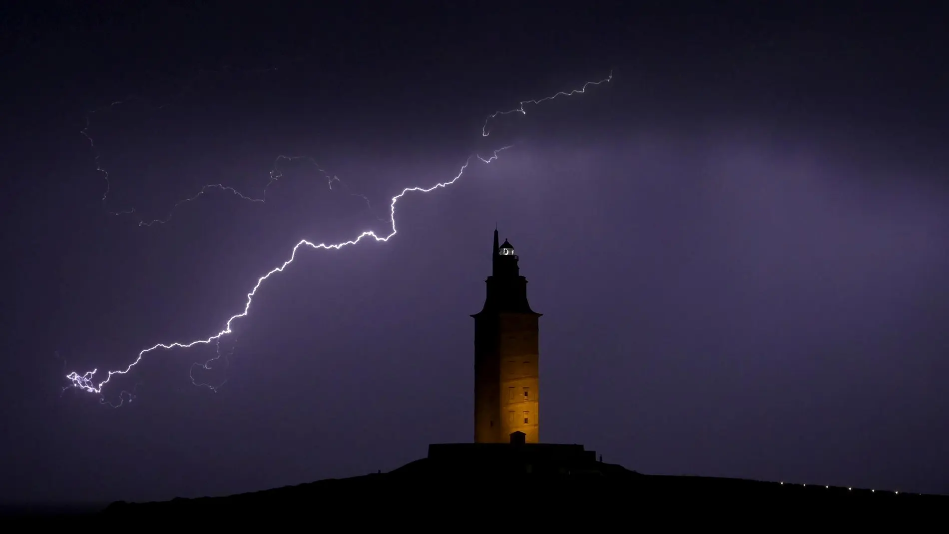
Meteored experts warn that the intense heat accumulated during these days could also act as “fuel” to intensify storm phenomena associated with DANA, increasing the risk of adverse storms accompanied by abundant electrical equipment, strong gusts of wind and even hailstorms punctual.
Weekend under warning for heavy rains and storms
Although there is still considerable uncertainty about the exact trajectory, models suggest that the first storm cells would begin to develop during the Saturday in areas of the northwest and in mountainous systems of the interior of the peninsula, driven by diurnal warming and the progressive approach of the pocketing of cold air at altitude.
As the hours advance, the storms would tend to spread and organize, especially affecting Galicia, the Cantabrian Mountains, Castilla y León, the surroundings of the upper Ebro and some sectors of the northeast of the peninsula.
In Galicia, particularly in areas of the interior and north of the community, Some scenarios contemplate accumulated amounts that could exceed 50 liters per square meter.although in a very irregular way due to the convective nature of the precipitation.
However, Meteored experts insist that the final distribution of rains and storms will depend largely on the final position of DANA, since small changes in its trajectory could considerably modify the areas with the highest risk of adverse phenomena.
Stable time before change
Meanwhile, this Wednesday will be marked by atmospheric stability thanks to the influence of an anticyclone over Europe. The State Meteorological Agency (AEMET) Clear skies or intervals of high clouds are expected in most of the country, with a general rise in temperatures.
The maximum temperatures will rise significantly in the Guadiana valley and in the south of Galicia, while temperatures will exceed 30 degrees. in large areas of the southwest quadrant and in the Ebro valley. Only on the Cantabrian and Levantine coasts will temperatures remain more stable. The entry of suspended dust is also expected towards the extreme south of the peninsula and the easternmost Canary Islands.
As for the wind, it will blow lightly and from a variable direction in the interior, while on the Mediterranean and southwest coasts it will be more intense and in a breeze regime. It will blow from the east in the Cantabrian Sea and in Alborán, as well as in the Strait, where very strong gusts are not ruled out.