
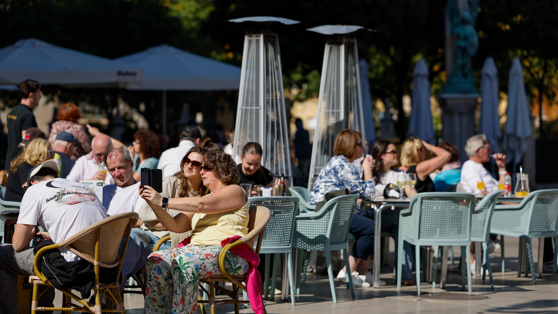
The AEMET foresees a Sunday, October 11 marked by stable weather in much of Spainthanks to the influence of high pressures. However, the approach of a front from the extreme north will increase cloudiness and could leave some weak rainfall in the Cantabrian Sea and northern Galicia.
Maximum temperatures will rise in general, with some exceptions in Catalonia and on the western Galician and Andalusian coasts. The minimum temperatures will also increase in almost the entire country, while in Alborán they will decrease. In the Canary Islands, for their part, cloudy skies and moderate showers are expected that could be locally strong.
The day will be marked by slightly cloudy or clear skies in the center and south of the peninsula, while in the northern and eastern half there will be cloudy intervals. Besides, Mist and fog banks may appear during the first hours in Galicia, the Cantabrian Sea and the mountains of the northern half.
Clouds and rain: the AEMET predicts stable weather on the Peninsula, although a front could leave weak rainfall in the Cantabrian Sea and Galicia
The influence of high pressures will favor the predominance of stable weather in the Peninsula and the Balearic Islands. However, the approach of a front from the extreme north will increase cloudiness and could cause some weak precipitation in the Cantabrian Sea and northern Galicia.
In the northern and eastern half of the peninsula, cloudy intervals are expected, while In the center and south, slightly cloudy or clear skies will predominate.. With low probability, weak rainfall could also be recorded in Ceuta and Melilla.
The situation will be different in the Canary Islands, where cloudy skies and moderate showerswithout ruling out that locally they reach strong intensity. In the rest of the country, precipitation will be unlikely and the environment will remain stable.
Furthermore, they will likely morning mists and fog banks in the Cantabrian Sea, the mountains of the northern half and Galicia. On the western Galician coast, these phenomena may be somewhat persistent.
Temperatures and wind: the maximum temperatures rise in much of Spain while Seville reaches 30 degrees and Murcia reaches 29
Maximum temperatures will rise across the boardalthough exceptions are expected in Catalonia and on the western Galician and Andalusian coasts. In the south of the peninsula some of the highest values will be recorded, with Seville in the lead, while the minimum values will also increase in almost the entire territory.
Seville will reach 30 degreeswhile Murcia will reach 29 and Córdoba at 28. Alicante will have a maximum of 28 degrees, Granada will reach 27 and Huelva at 27. In the west, Badajoz will reach 30 degrees and Cáceres will remain at 26.
In the center of the peninsula, Madrid will have a maximum of 23 degreeswhile Toledo will reach 26, Ciudad Real at 24 and Albacete also at 24. Ávila will remain at 21 degrees, Segovia at 21 and Guadalajara at 23. In the east, Valencia will reach 26 degrees, Castelló 25 and Tarragona 24.
In the north, Bilbao will reach 23 degreeswhile Oviedo will have 22 and Santander, 21. A Coruña and Lugo will reach 21 degrees, while Ourense will reach 25 and Pontevedra will remain at 20. In the northeast, Zaragoza will reach 25 degrees, Girona at 24 and Barcelona will remain at 23.
Minimum temperatures will rise in almost the entire countryexcept in the area around Alborán, where they will descend. Madrid will register 11 degrees, while Soria will have a minimum of 7, Albacete 8 and Teruel 8. Seville will remain at 15 degrees and Malaga will have 17. In the Canary Islands there will be hardly any changes, with minimums of 22 degrees in both Las Palmas de Gran Canaria and Santa Cruz de Tenerife. Furthermore, they are expected weak frosts in the high areas of the Pyrenees.
The wind will be marked by the breezes in the Cantabrian and the Mediterranean, while in the interior of the peninsula it will blow lightly and from the west. In the Ebro valley there will be light windand in the Ampurdán the weak or moderate Tramuntana will predominate. In the Strait and Alborán, the east will subside in the afternoon. In the Canary Islands, the trade wind will be weak or moderate.