
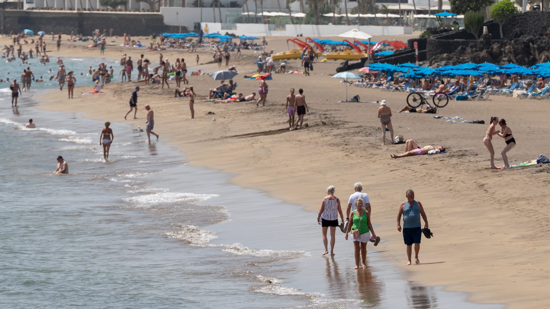
Spain faces Friday, September 11 with a stable weather forecast in most of the country. High pressure will approach from the west and they will favor slightly cloudy or clear skies in the Peninsula and the Balearic Islands, without significant phenomena expected.
The environment will not be identical in all regions. The tail of a not very active front could leave cloudy intervals in the north of Galicia and the Cantabrian area, although they would tend to open up clear during the day. The situation will be calmer insidewhere the sun will gain ground after the first hours.
Thermometers could rise in large areas of the Peninsula and the Balearic Islands, continuing the trend established by one of the hottest summers in recent European history, while the Cantabrian Sea and a good part of the southern third would register few changes. The Guadalquivir valley could locally exceed 35 degrees; Badajoz and Córdoba would reach 36, and Seville would reach 35, according to the maximums planned by capital.
Fog and residual cloudiness
The prediction of the State Meteorological Agency, AEMET, contemplates low cloudiness early in the morning in the upper Ebro, the Mediterranean regions and the interior of the southeast quadrant. These clouds could be accompanied by scattered fog banks and They would tend to retreat as the morning progresses.
The Strait area would concentrate the most covered scenario, with more persistent low cloudiness and the probability of some weak and occasional rain. In the Canary Islands, the AEMET predicts cloudy skies on the northern slopes of the mountainous islandswhere weak rainfall would tend to cease before clearings open; The rest of the archipelago would maintain slightly cloudy skies in general.
In the north of the peninsula, the minimums could rise except in the Ebro and the eastern Cantabrian Sea, where they would hardly vary. In the southern half and the Balearic Islands, few changes or local declines are expected. The Canary Islands would concentrate the decrease in minimum temperatureswith predicted values between 23 and 27 degrees in Las Palmas de Gran Canaria and between 22 and 27 in Santa Cruz de Tenerife.
night heat
The AEMET maintains the possibility of tropical nights, with minimum temperatures above 20 degrees, in points of the southern Mediterranean coast, the lower Guadalquivir and the two archipelagos. These are not temperatures as high as those of recent tropical nights, but night descent would remain limited in those areas.
The wind will be another element to monitor. It would blow moderately east in Alborán and with strong intervals in the Strait; There would also be a moderate wind from the north in the Empordà and the Galician coast. Strong intervals and possible very strong gusts are expected in the Canary Islands, while in the rest light wind would predominate with moderate stretches in coastal areas, the Ebro and the northern plateau.
Madrid would have a forecast range of 15 to 30 degrees; Barcelona, from 19 to 28; Bilbao, from 11 a.m. to 12 p.m.; Zaragoza, from 14 to 31; Malaga, from 7 to 29; and Soria, from 7 to 28. The AEMET forecast describes a day without weather warningsalthough local conditions of fog, light rain and wind could modify the perception of time depending on each area.