
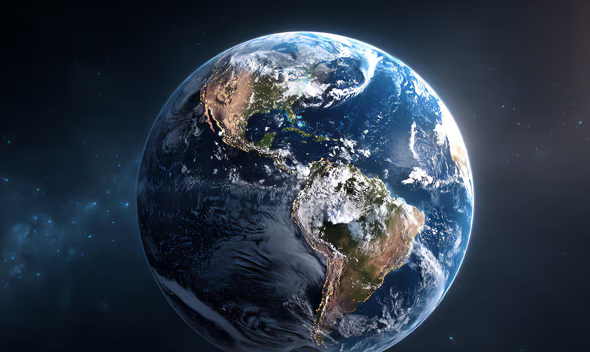
Several miles below the Pacific Oceanoff the coast of Canadaa part of the Earth’s crust is in the process of fragmentation. The phenomenon was identified by an international group of scientists who managed to obtain detailed images of a subduction zone as it begins to divide into different segments.
The results were published in the scientific journal “Science Advances” and are part of the Cascadia Seismic Imaging Experiment (CASIE21).
The work focused on the tectonic system located in the northwest of the Pacific, where the Juan de Fuca and Explorer oceanic plates interact with the North American plate.
The discovery allows us to observe a process that geologists knew mainly from its consequences: how a subduction zone slowly begins to stop functioning and ends up disappearing.
Far from being a sudden fracture capable of modifying the planet from one moment to the next, the researchers highlighted that the process occurs on an extremely slow scale.. The changes could extend over millions of years, a period imperceptible from the human perspective.
What did scientists discover under the Pacific Ocean?
Subduction zones are regions where one tectonic plate slides beneath another and begins to sink toward the Earth’s mantle. These limits play a fundamental role in the internal dynamics of the planet and are associated with some of the earthquakes and volcanoes most important in the world.
In this case, the researchers found evidence that a portion of the Cascadia tectonic system is progressively breaking up into smaller pieces, creating new boundaries between segments of the crust.
“This is the first time we have a clear image of a subduction zone in the process of disappearing,” explained Brandon Shuck, a professor at the Louisiana State University and lead author of the study.
To describe what happens under the Pacific, the specialist used a graphic comparison. Rather than imagining a single collapse, he noted that the phenomenon resembles a train slowly derailing, car by car.
The research combined deep-penetration seismic imaging with earthquake records from the region. In this way, scientists were able to reconstruct structures that are hidden several kilometers below the seabed.
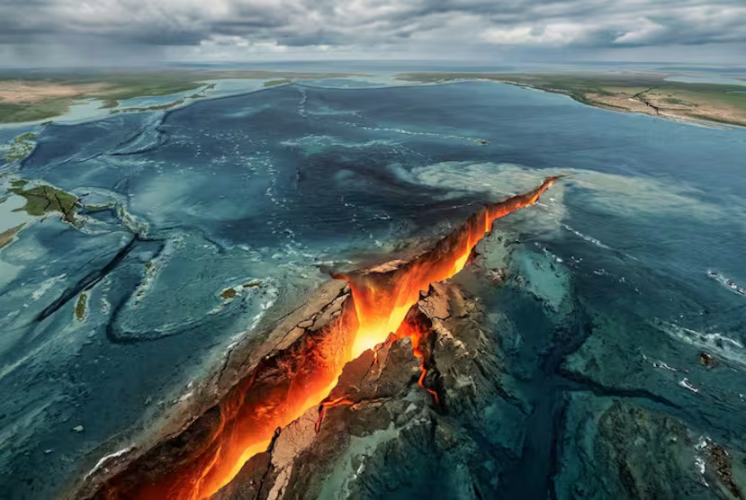
One of the main finds was a structure approximately 46 miles long associated with plate fragmentation. The data also shows sectors where seismic activity presents significant differences, a sign that helps determine which parts still remain connected.
According to Shuck, some segments are moving toward a complete separation. “It has not yet completely detached, but it is close to doing so,” explained the researcher about one of the regions studied.
Why is this part of the Earth fracturing?
To understand this natural phenomenon, it is necessary to go back millions of years and observe the so-called life cycle of tectonic plates.
The solid surface of the planet does not form a single immobile structure, but is divided into large plates that move slowly. At some points they collide, at others they separate and there are also regions where one ends up getting under another.
But those structures are not eternal either. Plates can modify, fragment and eventually disappear within the Earth’s mantle.
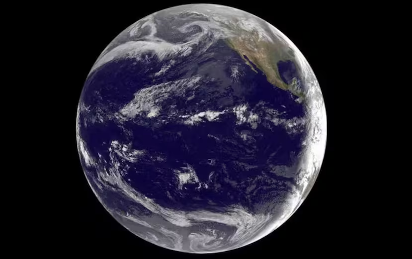
The researchers maintain that the process observed off Canada is related to the interaction between the mid-ocean ridges and the subduction zone. When a ridge approaches an oceanic trench, the newly formed lithosphere is younger, hotter and more buoyant, characteristics that make it difficult for it to continue sinking in the same way. This resistance can favor changes in the geometry of the plate and, over millions of years, contribute to its fragmentation.
The importance of the new study is precisely that the scientists were able to observe different stages of this process within the same tectonic system.