
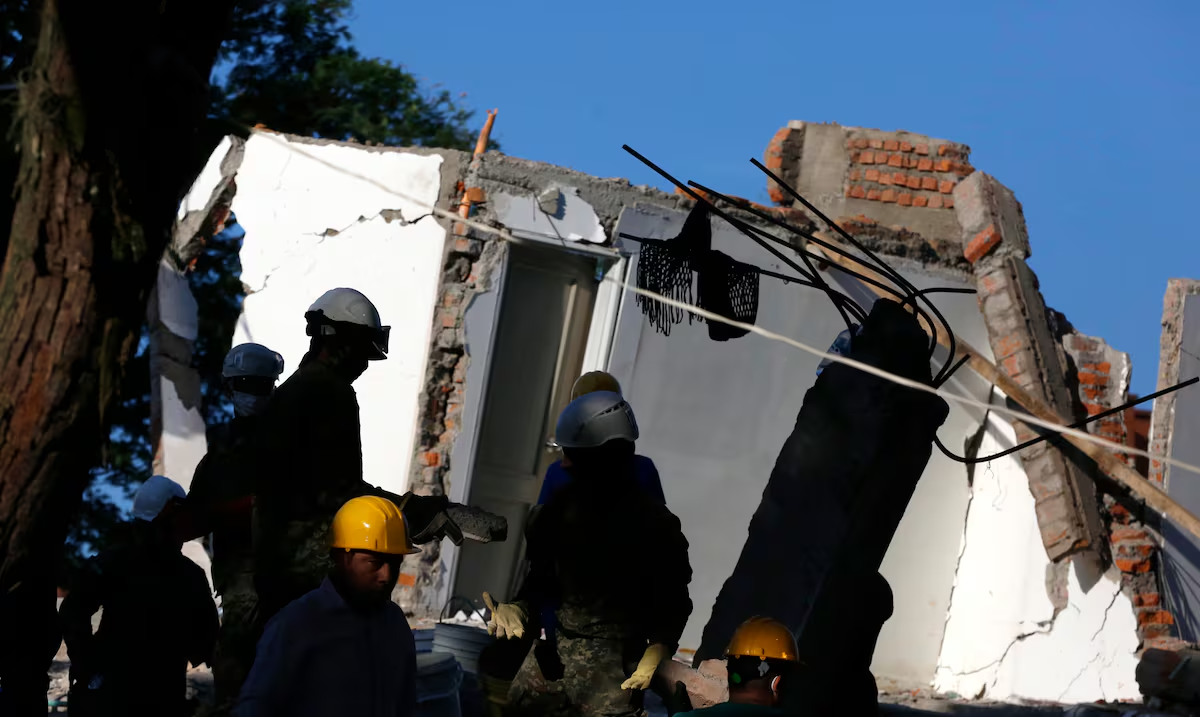
He magnitude 7.4 earthquake that shook Colombiawith its epicenter in Chocó, has been cataloged by the Colombian Geological Service as the most intense of this century.
Since it happened, at 7:40 in the morning of August 10, there have been, until now, 99 replicasa phenomenon that experts say is normal due to the rearrangement of the Earth’s crust.
In an interview, the Colombian geologist Adriana Ocampowho worked at NASA for more than five decades, delved into the scientific explanations of this earthquake and how it is associated with others that have occurred in the world.
Why have we recorded several large earthquakes this year in countries like Mexico, Colombia and Venezuela?
The seismic activity of 2026 responds to the natural tectonic dynamics of the region, not to an anomalous phenomenon. The earthquake in Colombia was due to subduction of the Nazca plate under the South American plate, while the double earthquake in Venezuela, of magnitude 7.2 and 7.5, was due to a strike-slip fault between the Caribbean and South American plates. They are independent processes and are not connected. But we have to remember that our planet is in continuous evolution and the movement of the plates of the Earth’s crust is part of that process.
Is there anything particular going on with the Pacific Ring of Fire?
No. Colombia and Mexico are in the Pacific Ring of Fire, which concentrates around 90% of world earthquakes, while Venezuela is outside that belt. The earthquakes of 2026 are expected events within the continuous release of energy accumulated for decades in these areas of high seismic activity.
Is the increase in ocean temperatures related to seismic activity?
As far as is known, there is no scientific evidence linking ocean warming with deep tectonic earthquakes. Large earthquakes are generated by the accumulation and release of elastic energy in geological faults, regardless of water temperature.
Based on NASA satellite data, how serious is the impact in Colombia and how does it compare with Venezuela?
The InSAR satellite technology of the NISAR satellite, that is, satellite synthetic aperture radar, captured displacements of up to 60 centimeters in Venezuela after the earthquakes, with about 58,870 damaged buildings preliminarily identified. For Colombia, the data is still being processed, but the depth of the earthquake, 107 kilometers, attenuated the surface waves compared to Venezuela, from 10 to 20 kilometers, which suggests a minor, although equally significant, surface impact. That is, the deeper in the crust the origin of the seismic wave is, the more time it has to mitigate. This is correlated with the composition and density of the rock through which the wave travels. Less dense rock soils tend to amplify the seismic wave and cause more damage to buildings.
How true is it that after a strong earthquake “the plates adjust” and the risk of new earthquakes increases?
It is true that the crust seeks a new balance, generating replicas in hours, days or weeks. However, these are smaller than the main earthquake. “Accommodation” does not increase the risk of another large earthquake in the same location, but rather releases remaining energy. It is important to always be prepared and take precautions, especially in the days immediately after the earthquake, when there may be more aftershocks.
Why do cities far from the epicenter suffer greater damage than nearby towns? How to explain what happened in Cali versus Armenia?
Depth is key: the Colombia earthquake was intermediate, 107 kilometers, so the waves traveled largely attenuated. Damage depends on the vulnerability of the terrain and buildings. Cali, with softer or less dense soils and older buildings, suffered more than Armenia, despite being at a similar distance. It is important to note that following seismic construction requirements, even in older buildings, is extremely important to mitigate loss of life.
How could this type of phenomena be mitigated in Colombia?
Rigorous implementation of the Colombian Earthquake-Resistant Construction Code is key and can reduce damage by up to 80%. Complementing it with satellite monitoring, through NISAR and Sentinel-1, and plate measurement via VLBI with quasars makes it possible to evaluate crustal deformations correlated with seismic activity and, from there, update hazard and earthquake-prepared urbanization maps.
Is the future of seismic prediction optimistic?
The future of seismic prediction is optimistic thanks to the integration of disciplines that previously seemed unrelated. Beyond plate monitoring with satellites like NISAR, science is discovering that the Earth is not an isolated system; Cutting-edge research from the University of Tsukuba and the National Institute of Advanced Industrial Science and Technology in Japan has demonstrated, through mathematical models, that solar activity causally influences seismicity. The Sun’s heat, although it causes a slight increase of 0.1 to 0.2 °C in surface temperature, can make rocks more brittle and alter the pressure on faults by modifying the movement of groundwater. In fact, by including surface temperature in the models, forecast accuracy improves markedly, especially for shallow earthquakes, and it has even been observed that, up to 10 days after a solar flare, global seismicity can increase by up to 38%. This connection underscores why space exploration is so crucial: studying the Sun not only helps us understand the universe, but provides us with key tools to anticipate movements on our own planet, bringing us ever closer to early warning systems that save lives. Prevention, education and strict regulations are the path to mitigating these natural disasters.