
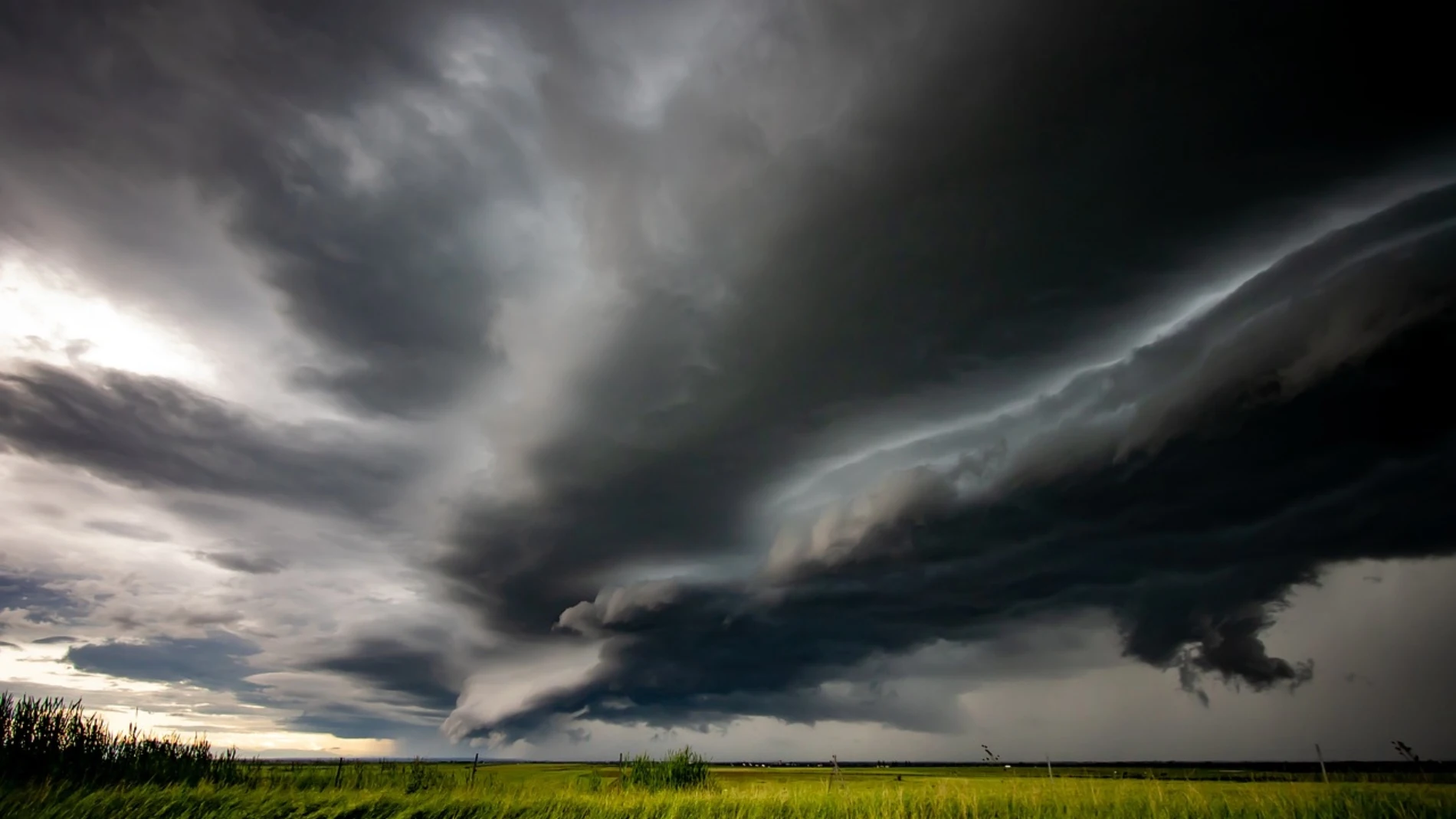
Atmospheric stability has dominated the meteorological panorama in recent days. However, this scenario of clear skies and hot environment will live with a growing instability which, according to AEMET and Meteored, will lead to stormy showers before the end of the week.
For this Friday, high pressure will maintain slightly cloudy skies in almost the entire country. The exception will be found in the Cantabrian Seawhere the cloudiness will be more compact, and in the Canary Islands, which will be affected by the presence of haze in medians and summits.
Temperatures will rise, leaving summer values in the middle of spring. In the Guadalquivir Valley, Seville could be the hottest capital in the country by exceeding 32 degreeswhile other cities in the interior and southwest, such as Huelva, Badajoz and Zaragoza will be at the threshold of 30 degrees.
In much of the national geography, the maximum temperatures will exceed 25 degrees. The hot environment during the central hours of the day will be accompanied by mild temperatures at nightand. In large areas of the southern peninsula, the thermometers will move between 12 and 14 degrees.
During the weekend the temperatures will rise even a little more, although on Saturday they will drop in the eastern Cantabrian Sea and in the upper Ebro due to the entry of northerly winds. This decline will be temporary, since on Sunday the values in those areas and in the rest of the peninsula will recover again. 25 degrees will be exceeded and more than 30 degrees in the southern and northeastern half.
On Saturday the first storms appear
Although the predominance of the sun will be the general trend, on Saturday afternoon will increase instability inside. According to Meteored, the evolution clouds will grow stronger causing downpours accompanied by storms.
The most intense episodes are expected in the Iberian System and the Lleida Pyrenees. Meanwhile, in the lCantabrian coast and the north of the Canary Islands, weak rainfall is not ruled outaccompanied by morning fogs in the mountains of the northern peninsula.
On Sunday, lightning and showers of 10 l/m²
On Sunday, the risk of stormy showers will also persist in inland areas, especially in the afternoon and in the mountains. Meteored warns that showers could be locally intense and leave just over 10 l/m2 in a few minutes.
Furthermore, the evening storms They will come accompanied by abundant electrical equipment, with numerous lightning strikes in extensive areas of the northern half of the peninsula.
Light rainfall may occur in the Cantabrian regions and the Pyrenees. Meanwhile, in the Canary Islands, the sky will remain cloudy in the north of the islands, with the possibility of showers during the afternoon, especially in the most prominent ones.
On the other hand, the wind will blow with moderate or strong gusts from the northeast in Galicia and the Cantabrian Sea, from the south in the Balearic Islands and the Mediterranean coast and from the east in the Strait, Palos and the Canary Islands.