
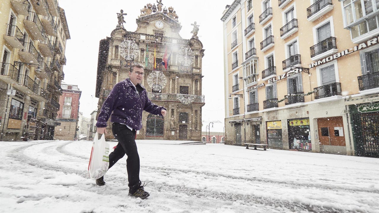
The second half of the week will be marked by cold temperatures that will be typical of the season, as reported by Rubén del Campo, spokesperson for the State Meteorological Agency (AEMET).
He Thermal decrease will leave frosts of up to -3 ºC in areas of the north, center and east of the peninsulawhile the skies will remain clear except for the arrival of a front on Saturday that will mainly affect Galicia, Cantabria and Castilla y León.
This Wednesday, rain is expected in the north of Galicia and in the Cantabrian communities, as well as snowfall at low levels of the Pyrenees. In the Balearic Islands there will be stormy showers that could be strong, especially in Mallorca and Menorca, where hailstorms are not ruled out. In addition, the wind will blow with very strong gusts in Aragon, Catalonia, the Valencian Community and the Balearic archipelago.
Temperatures will drop further on Thursday. Inland towns such as Palencia or Teruel could reach values of -2 ºC or -3 ºCwhile in the Pyrenees the frosts will be intense. Although frost is not expected in Mediterranean cities, the sensation will be cold, with minimum temperatures below 5ºC in cities such as Barcelona, Castellón or Valencia.
Intense gusts of wind will continue in the northeast of the Peninsula and the Balearic Islands and fog banks and low clouds will form in areas of the Northern Plateau and Galicia. Precipitation will now be limited to the extreme north of the peninsula and will be weak with some snowfall in the Pyrenees.
Friday will be a similar day, with generally slightly cloudy skies except in Galicia, the Cantabrian Sea and the Pyrenees, where it may rain lightly, and large inland areas where fog banks will be recorded. For another day there will be frost on the northern plateau and central moors. Daytime temperatures will be between 10 and 12 ºC in the northern interior while on the Mediterranean coast they will reach between 18 and 20 ºC.
New thermal drop during the weekend
Looking ahead to Saturday, Del Campo advances that A new front will leave rain that will extend from west to east through Galicia, Cantabria and Castilla y León, and may also reach Extremadura and the central area.. The snow level will be around 1,500 meters. Although the frosts will continue in the center and east of the peninsula, the increase in cloudiness will make them less intense and extensive on Sunday, although maximum temperatures will decrease.
For its part, Meteored indicates that the European model confirms that the weather will change again this Saturday, November 29 in Spain. The passage of an active front will leave winter weather, with more cold, rain, winds and snowfall. According to the meteorological portal, it will rain abundantly in western Galicia and in the Cantabrian Communities, especially in Cantabria and the Basque Country.
As the front passes, it will be positioned over the Peninsula a mass of maritime polar air that will cause a new drop in temperatures between Saturday and Sundayalthough it will not be widespread. The northeast quadrant of the peninsula will be the area most affected by the thermal drop.