
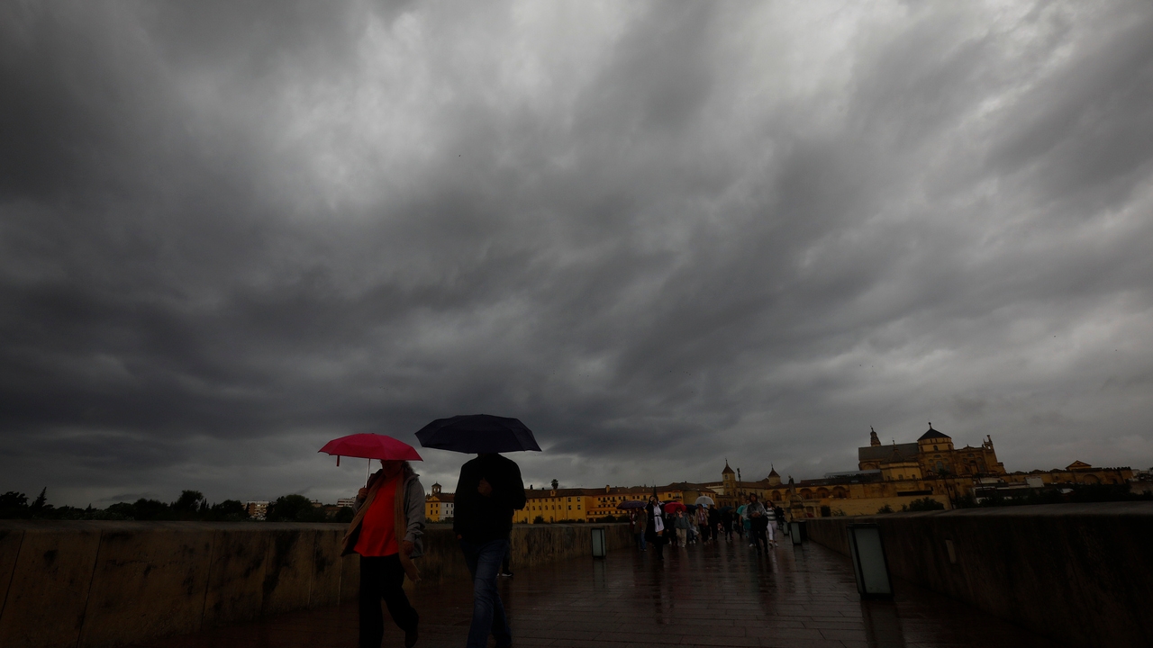
The Garoé storm, the seventh named storm this season, brings a important change of weather to Spainleaving behind the dry environment to give way to a significant episode of rain, according to the spokesperson for the State Meteorological Agency (AEMET), Rubén del Campo. In the coming days, rainfall will spread throughout the Peninsula. They will be abundant in the southwest of the peninsula, especially in areas of Extremadura and Western Andalusia. The snow will be relegated to the high mountain areas, since the open winds, coming from warmer latitudeswill cause an increase in temperatures.
This Monday there will already be rain in a large part of the territory, except in the Mediterranean area, with significant accumulations in Extremadura and Western Andalusia, where they could between 50 to 70 liters per square meter (l/m2) can be achieved in less than twelve hourssays Del Campo. Although minimum temperatures have clearly risen in the west of the peninsula, daytime temperatures will be somewhat lower due to cloudier skies, with maximum temperatures that will not exceed 10 degrees in large areas of the center and north of the peninsula.
Heavy rainfall
‘Garoé’ will continue to leave widespread rains on Tuesday, weaker in the Eastern Cantabrian Sea, northern Catalonia and the extreme southeast. The most affected areas will once again be the north of Extremadura and Western Andalusia, especially in Huelva, Cádiz and Seville. The accumulated will be significant and, again, may exceed 50 or 70 l/m2 in less than twelve hours. The intense and temperate southerly winds will keep snowfall restricted to levels above 2,000 meters.
On Wednesday the rainy weather will continue, with abundant rainfall in Galicia, northern Extremadura, Western Andalusia and the Aragonese Pyrenees.s. The rains will not reach either the Mediterranean area or the Balearic Islands and temperatures will continue to rise, according to the forecast of the AEMET spokesperson. There will be hardly any frost and the snow level will remain very high. In parts of the Mediterranean, it may even be around 23 or 24 degrees.
On Thursday the rainfall will decrease in intensity, although it will remain in the interior of the peninsula during the morning. The snow level will gradually drop to 1,300-1,500 meters, but will coincide with the decrease in rain, ruling out heavy snowfalls.. In addition, a drop in temperatures and a progressive calm in strong winds are expected.
((H2:Rainfalls of more than 150 l/m² can cause flooding in some rivers))
According to the Meteored reference model, until Thursday night there will be very heavy rainfall records in the western sector of the Central System, and in mountainous areas in the north of Cáceres, northwest of Toledo, south of Salamanca and Ávila. Also Significant quantities are expected in the province of Huelva, Bajo Guadalquivir, Seville, west of Córdoba and south of Badajoz. In these areas locally they will exceed 150 l/m², and even exceed 200.
Records of more than 100 l/m² are expected in areas of the mountains of Toledo, western Galicia and some regions of Extremadura. In the western Cantabrian Sea, the south of the Pyrenees and the Canary Islands, the accumulated levels will exceed 20-30 l/m². Some rivers will experience a considerable increase in their flows.
New Atlantic fronts arrive this weekend
On Friday and the weekend new Atlantic fronts could arrive that will mainly affect the northwest of the peninsula. The AEMET spokesperson has advanced that on Friday there would be rain in the northwest of the peninsula, which would be abundant in Galicia. On Saturday they could already extend to a good part of the western half and central area without reaching the Mediterranean, with lower temperatures and snow in the mountains.