
This last weekend of April, a major Atlantic storm is leaving heavy showers in the country, especially this Saturday. The AEMET announced that the change in weather would be “abrupt” with “maximum temperatures that would be between 5 and 10º lower than normal for the time,” as indicated by the spokesperson for the State Meteorological Agency, Rubén del Campo. Thus, next week will begin with rain in much of Spain, especially in Catalonia, one of the communities most affected by the drought.
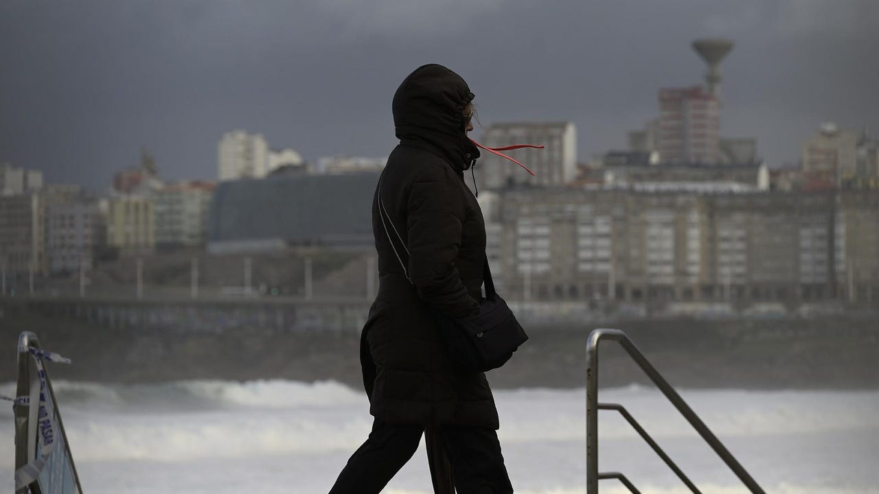
Throughout this Saturday, The effects of the storm were felt in much of the country, especially in the north, in the central system and in the Pyrenees, with abundant rains. Temperatures also plummeted in almost the entire national territory, with the exception of the eastern Cantabrian Sea, the Mediterranean and the Balearic Islands.
Nine Autonomous Communities are on alert this weekend, on warning for wind, waves, snow, storms, storms and gales, according to the prediction of the State Meteorological Agency (AEMET). Nevertheless, Those alerts dissipated on Saturday afternoon, with a similar situation for Sunday.
This Sunday, instability continues in the eastern third of the peninsula and in the Balearic Islands, with more probable and intense rains and showers in Catalonia and the Balearic archipelago. It will snow in the mountains from about 1,000/1,500 meters in the northwest and from 1,500 to 2,000 meters in the east. For its part, night temperatures will drop, with possible frost in mountain areas. In cities like León, the minimum temperature will be -1ºC, while on the shores of the Mediterranean, the Ebro depression and the Guadalquivir Valley, the maximum temperatures will be between 22 and 24 degrees.
At the beginning of the week, showers will occur mainly in Aragon, Catalonia, the Valencian Community and the Balearic Islands, but they could extend more weakly to Murcia, eastern Andalusia and Castilla-La Mancha.
Looking ahead to Monday, atmospheric instability will be focused on the east of the peninsula and the Balearic Islands, with rains and showers that could be strong in Catalonia. Temperatures will decrease in the east, notably in Aragon and Catalonia, while in the west the values will rise.
While, On Tuesday a front associated with another storm could enter Galiciawhich generates instability and uncertainty for the May Long Weekend. On Wednesday new rainfall would arrive in Galicia, Asturias, Extremadura and Castilla y Leónwhich could move in the rest of the northwest quadrant of the peninsula.