
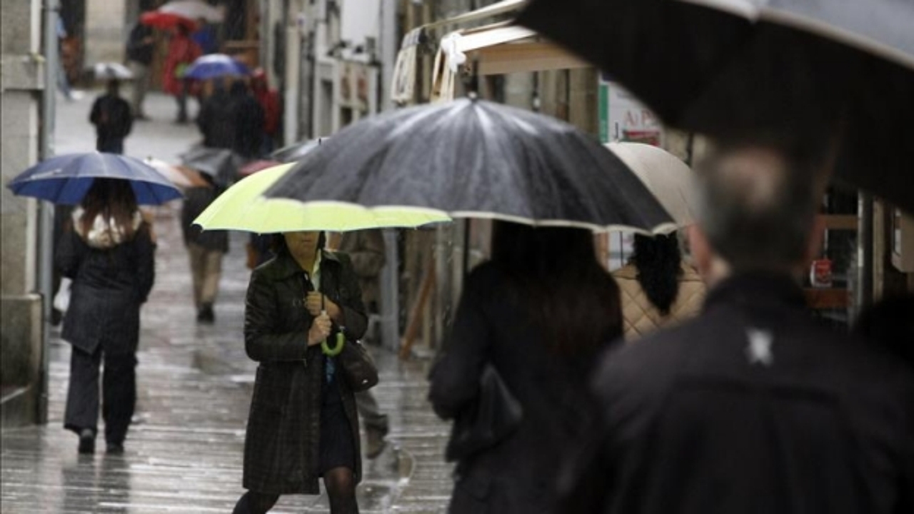
The arrival of winter, which begins this Saturday at 10:21 (peninsular time), will be marked by the persistence of a Atlantic anticyclone that will guarantee stable weather, clear skies and temperatures typical of the season in most of Spain. During the day, thermometers will register mild values in large areas of the country, while At night, a cool environment with frost is expected in areas of the interior of the peninsula.
Where is it going to rain this weekend?
The spokesperson for the State Meteorological Agency (AEMET), Rubén del Campo, pointed out that this weekend before the Christmas holidays will be dominated by “anticyclonic and stable weather, with slightly cloudy skies in most of the territory.” However, he warned that The humid winds from the north will cause rain on the Cantabrian coast and the Pyreneesaccompanied by snowfall in mountainous areas. In addition, a DANA in the southwest of the peninsula will increase instability in southern Andalusia and the Canary Islands, with rainfall that could be heavy in some points.
“Although a DANA does not necessarily imply torrential rains, there could be locally heavy showers in the Strait area on Saturday”Del Campo explained. In the Canary Islands, the rains could be intense and persistent during the weekend, especially accompanied by storms on Sunday. Occasional showers could also be recorded in the Balearic Islands throughout that day.
Cold and frost
As for temperatures, they will tend to rise. However, Saturday will be cold, with frost in large areas of the interior, while on Sunday the frost will be less extensive and intense, and in the southeast of the peninsula it will exceed 20 degrees. According to the AEMET, the warmest cities of the weekend will be Almería on Saturday (19 degrees) and Murcia on Sunday (21 degrees). On the other hand, the lowest temperatures in daytime hours will be recorded on Saturday in Burgos (6 degrees) and on Sunday in Burgos, Segovia and Soria (9 degrees). In the Canary Islands, the maximum temperatures will range between 20 and 22 degrees in Las Palmas de Gran Canaria and Santa Cruz de Tenerife.
Weather forecast for next week
For Monday, the rains will continue in the Canary archipelago and in the extreme north of the peninsula. Instead, During Christmas Eve and Christmas, dry weather and temperatures that will not be especially cold are expected, remaining around the usual values for these dates. Some showers could still be recorded in the Balearic Islands and in the north of the most mountainous islands of the Canary Islands.
Starting on Thursday, December 26, the weather will remain stable in most of the territory thanks to the dominance of the Atlantic anticyclone. However, some models point to possible instability in the Mediterranean area, with localized rains in that area. Temperatures will not experience major changes, with night frosts in the interior and slightly cold values during the central hours of the day in areas affected by fog.