
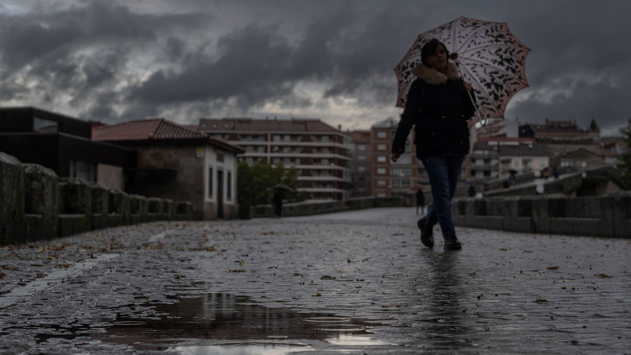
The week starts with fully anticyclonic weather and anomalously high temperatures for the timebut stability could have an expiration date. Starting on Wednesday, the approach of an Atlantic trough would threaten to break the dominance of high pressures and reactivate the rain in some areas of Spain.
According to the State Meteorological Agency (AEMET)this Monday clear skies or high clouds will predominate in most of the country, although there will be fog and mist on Mediterranean coasts, where they could be locally persistent. High pressures, centered in North Africa, will keep instability at bay and no precipitation expected.
Spring temperatures
The maximum temperatures will increase, which will be practically generalized in the peninsula and the Balearic Islands, with values more typical of the end of March or April. The minimum temperatures will also rise slightly, except in the area around Alborán and the southwest of the peninsula, where they could decrease. Weak frosts will be restricted to the peaks of the Pyrenees and the Cantabrian Mountains, without being ruled out occasionally on the northern plateau.
Alert in the Canary Islands due to haze
In the Canary archipelago, the day will be marked by the presence of haze. The AEMET has activated the ‘yellow’ level warning on all the islands due to the intrusion of suspended dust from Africa, which will reduce visibility to about 3,000 meters and will favor a thermal rebound. The warnings affect Gran Canaria, Lanzarote, Fuerteventura, La Palma, La Gomera, El Hierro and Tenerife, and could also be extended during the day on Tuesday.
Vaguada and Dana in sight
For its part, according to Meteored, the first days of the week will be dominated by a anticyclonic ridge over all of Spainwhich will drive unusually high temperatures even in the Cantabrian area on Tuesday.
Starting Wednesday, it is expected approach of a trough from the Atlanticwhich would return rain to the western half of the peninsula. However, the persistence of anticyclone in the Mediterranean could slow its advance towards the east and favor the isolation of a dana towards Morocco on Thursday, with indirect effects in the Canary Islands.
The weather portal indicates that on Wednesday it will rain in Galicia, Asturias, western Castilla y Leónas well as in the border area with Portugal in Extremadura and Andalusia. On Thursday, stability would return to the Peninsula, except for some light rains in Galicia. On the contrary, instability will increase in the Canary Islands, with records of more than 15 or 20 l/m2 in the north of La Palma, La Gomera, Tenerife, Gran Canaria and Lanzarote.
Facing the weekend, and even with some uncertainty, Meteored does not rule out the arrival of new troughs and storms in the northwestwith more widespread rainfall on the Peninsula and a thermal drop.