
It’s been just four days since we said goodbye to 2024and with it the meteorological instability that we suffer, such as, of course, the great episode of torrential rains caused as a consequence of the ‘cold drop’ or DANA that hit the Valencian Community, and part of Castilla-La Mancha and Andalusia, during the past month of October and left more than 200 deaths.
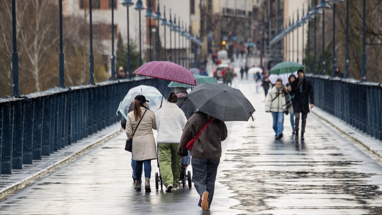
In this way, the day before Three Kings Paradealthough many Spanish municipalities have decided to bring it forward to today due to the possibility of heavy rains tomorrow, it will be marked by warnings for adverse phenomena of the State Meteorological Agency (AEMET)which provide persistent and locally heavy rainfallwith significant accumulations, on the Galician Atlantic coast. Furthermore, they are also expected gusts of wind with strong intervals and very strong gusts on the coasts of Galicia and in exposed areas of the northwest and the Cantabrian Sea, as well as fogs in Alcarria and haze in the Canary Islands.
Warning for “locally strong” rains on the Galician coast
The AEMET warns that the new storm with Atlantic fronts will pass through the northern part of the Peninsula today, which will lead to the entry of a front from the northwest, which will leave cloudy or overcast skies in the northern third and the Atlantic slopeas well as precipitations that will affect the Cantabrian Sea and Galicia, the northern Iberian plateau, the west of the Central System and the Pyrenees. However, the AEMET warns that these pre-ipitations can extend to the south and southwest of Andalusia.
For its part, rainfall is expected to be “persistent” and with “significant accumulations” on the western Galician façade, where they can even become “locally strong”. Furthermore, these precipitations can occur in the form of snow at levels above 2,000 meters in the mountains of the extreme north.
However, No precipitation is expected in the rest of the Peninsula or in the Balearic Islands.although low morning cloudiness is still expected in valleys of the southern and northeastern plateau, with morning mists and mists being possible, especially in Alcarria.
Thus, it is also foreseen clear skies or high clouds in the Canary archipelagoas well as a Haze entry that could reduce visibility below 5,000 meters on all the islands, with the possibility of reaching 3,000 meters.
Temperatures continue to rise and frosts lose strength
The AEMET points out that they are expected maximum temperatures increasing in the northern half of the peninsula and in the southeastern mountains, while in the rest no changes are expected. For their part, the Minimum temperatures follow the same path and continue to increase almost generally throughout the Peninsulaexcept in the southwest quadrant and in both archipelagos where no changes are expected. Thus, the Frosts will continue to lose extension and intensitylocally affecting the Pyrenees and mountain ranges of the central and southeastern peninsula, although without ruling them out on the southern plateau.
Moderate wind gusts
The State Meteorological Agency assures that during today Moderate winds from the west and southwest will predominate in the Peninsula and the Balearic Islands.with probable intervals of strong and/or very strong gusts on the coasts of Galicia and in exposed areas of the northwest and the Cantabrian mountain range. For its part, In the Canary Islands you can see winds from the east and southeast, but “weak” in general.