
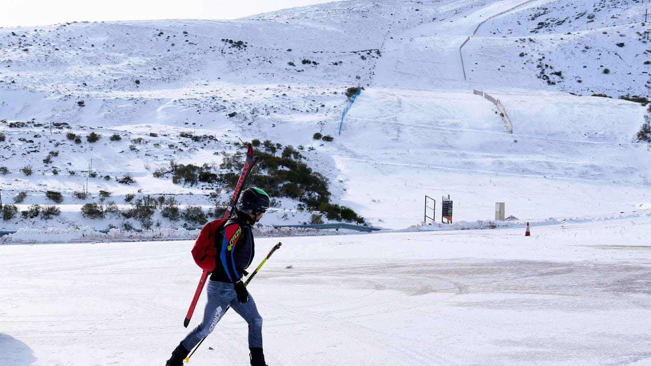
An air mass of arctic origin cwill begin to affect Spain from this Wednesday afternoon causing a sharp drop in temperatures and a notable drop in the snow level. The State Meteorological Agency (AEMET) has already activated snowfall warnings in several communities in the north of the peninsula due to the forecast of important accumulations that will last until Friday.
For this afternoon the yellow warning for snowfall has been activated in the provinces of Huesca, León, Lleida and in the community of Asturiaswhere they are expected accumulations that may reach up to 15 centimeters. The notices will go into effect at 6:00 p.m..
In Asturias, the warning affects the Cordillera and the Picos de Europawith a forecast of up to 10 centimeters in 24 hours. The greatest thicknesses will occur from 1,000 meters, although at higher levels they may be greater. The situation will continue throughout the day on Thursday.
In Castilla y León, the province of Burgos keeps the warning activated in areas of the Cantabrian mountain rangewith accumulations of up to 15 centimeters in 24 hours above 1,000 meters of altitude and extension of the warning. the next day.
In Aragon, snow is expected in the Pyrenees of Huesca, where up to 5 centimeters may accumulate in 24 hours above 1,200 meters in regions such as Jacetania and Alto Gállego. In Catalonia, the yellow level affects the Aran Valley (Lleida)with similar forecasts.
Snowfall will be widespread in the northern third of the peninsula starting at noon on Thursdayaffecting both mountainous areas and low areas of the interior of Basque Country, Navarra, the north of the northern plateau and the Cantabrian mountain rangea, where they can accumulate more than 20 centimeters in 24 hours.
The worst day: snow could affect important communication routes
According to information from the AEMET, The episode will reach its peak between Thursday night and Friday morning when the snow level is between 300 and 400 meters in the eastern Cantabrian Sea and the upper Ebro, without ruling out “additional collapses.”
The impact may be significant in some areas, with accumulations exceeding 3-5 centimeters, which could affect important communication routes.
In addition, on Friday between 10 and 20 more centimeters could accumulate again in mountain spots in the northern third of the peninsula. Snowfall will also affect the Iberian and Central systems less significantly during the episode, without ruling out the Catalan pre-Pyrenees.
Regarding temperatures, it will be Friday when the cold reaches unusual levels for these dates. In areas of Burgos, Soria, León, Palencia and Ávila, the maximum temperatures will not exceed 5 ºC and the minimum temperatures will fall below –8 ºC, and may be around –10 ºC in valleys. The north wind will further accentuate the feeling of cold. The maximum temperatures will be below 10 ºC in large areas of the Peninsula with the exception of the southwest quadrant and the coasts, where they will be slightly higher.
In a context of “increasing uncertainty”, it is expected that starting Saturday afternoon between a warmer Atlantic air mass, which will raise temperatures and snow levelsrestricting snowfall and frost to mountain areas.