
The pre-Christmas season will be marked by a “thermal slide”with a progressive rise in temperatures until Wednesday, followed by a notable decrease towards the weekend. Added to this will be the arrival of a front that will bring rain to the north and west of the peninsula starting in the middle of the week. In the Canary Islands, the storm Dorothea It will continue to affect us with strong winds, haze and exceptionally high temperatures, although a gradual decrease in temperatures is expected.
This Mondaythe Canary Islands will register gusts of wind that will exceed 90-100 km/h in the western islands, accompanied by an intense haze that will reduce visibility and affect air quality. On the peninsula, the weather will be stable, with no rain except for four drops in points in the extreme north and extreme south of the territory. except for persistent fog in inland areas, which will maintain the cold environment in cities like Logroño or Zaragoza, where it will barely reach 10 degreess. In contrast, Cádiz, Ceuta and Alicante will enjoy milder temperatures, close to 18 degrees.
He Tuesday The wind will continue in the Canary Islands, although it will lose intensity, while The haze will be denser and temperatures will begin to drop. On the peninsula, meteorological stability will continue to dominate, with morning frosts in the northern and central interior. In clear areas, such as Almería and Granada, maximum temperatures between 18 and 20 degrees are expected, but areas under fog, such as Lleida or Zaragoza, will remain with values between 7 and 9 degrees.
A front will leave rain in some areas
He Wednesday will mark a change with the arrival of a front that will bring rain to Galicia, Asturias and the extreme northwest of Castilla y León, being especially abundant in western Galicia. In the rest of the country, stable weather will continue, although temperatures will rise noticeably. Cities in the Cantabrian Sea, the Guadalquivir Valley and the Mediterranean area will reach maximum temperatures close to 20 degrees. In the Canary Islands, the haze will persist with a slight decrease in temperatures.
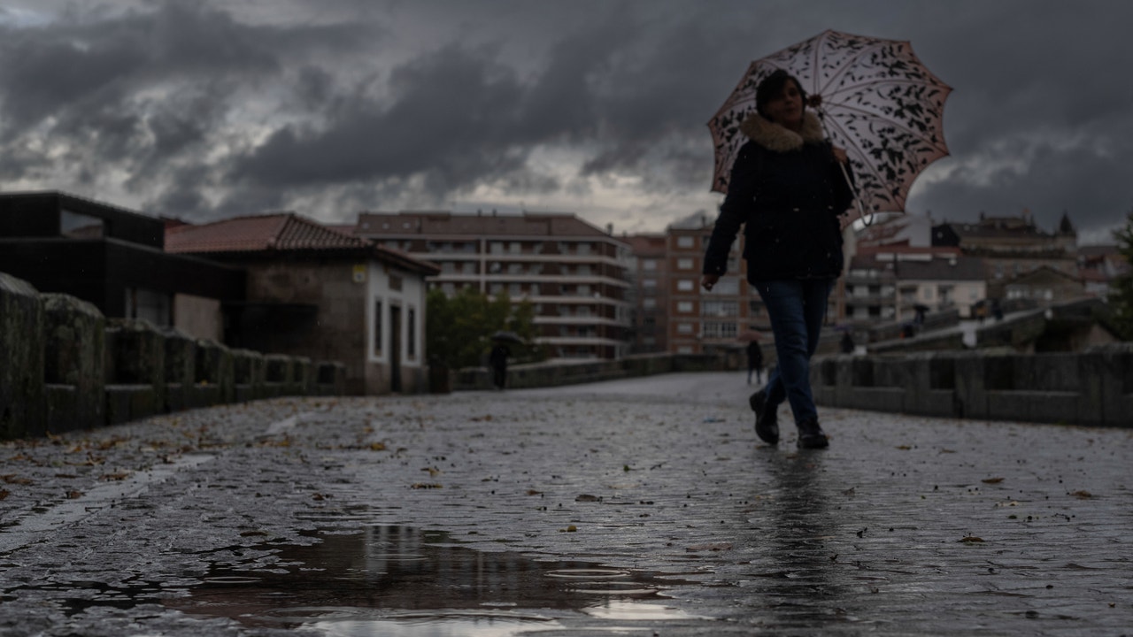
He Thursdaythe front will advance, leaving rain in the northern third and the west of the peninsula, which could extend weakly towards the center. In the northern mountains, snow is expected with a level that will drop from 2,000 meters to 1,000 meters towards the end of the day, due to a significant drop in temperatures. In the Canary Islands, the haze will begin to subside, although it could persist in some areas.
From Friday and during the weekendanticyclonic weather will predominate on the peninsula, with clear skies and a cold atmosphere. There will be night frosts in large areas of the interior, especially in mountainous areas, where the minimums could drop to -4 or -6 degrees. In the far north, cold northerly winds will bring localized rain. In the Canary Islands, an improvement in air quality is expected with the decrease in haze, although rain is not ruled out towards the end of the week.
“Thermal slide”
Regarding the featured temperatures, Murcia will lead the maximum temperatures on the peninsula, reaching between 24 and 26 degrees between Wednesday and Thursdays. On the contrary, Burgos and Ávila will register maximums of just 4 to 7 degrees towards the weekend. In the Canary Islands, the maximum temperatures in Las Palmas de Gran Canaria and Santa Cruz de Tenerife will drop from 25-26 degrees at the beginning of the week to 21 degrees at the end. Finally, according to the AEMET, there is the possibility that the time becomes unstable at the end of the week or the beginning of the next, with rain in the Mediterranean area and the Canary Islands. However, this scenario is yet to be confirmed.
Precipitation during Operation Christmas Exit
On the other hand, eltiempo.es highlights that during Operation Christmas Exit, which begins this Friday, there may be weak rainfall in the Balearic Islands, isolated points in the Mediterranean and in the easternmost Cantabrian Sea, in addition to the Pyrenees. During the weekend, the Azores anticyclone will approach the Peninsula and block the entry of new fronts, although the meteorological portal does not rule out that rainfall will continue to arrive.
Tiempo.es indicates that it is possible that a low will form around the Strait on Saturday, and that with wind from the Levant, it could rain in the south of Andalusia, Ceuta and Melilla. Although uncertainty increases for Sunday, they explain that a front would reach the Cantabrian Sea and leave rain in the north of Galicia, Asturias, Cantabria, the Basque Country and the Pyrenean area.