
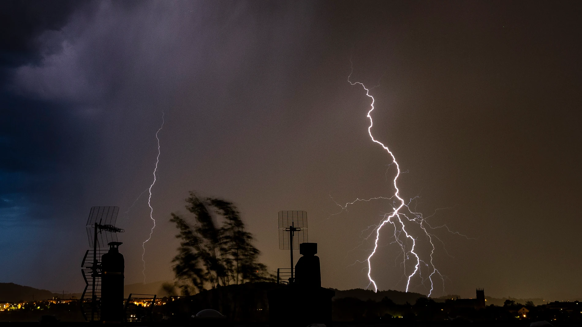
The episode of unusual heat of recent days comes to an end to give way to an atmosphere much more typical of spring, with the return of storms which could be locally intense and accompanied by hail, strong electrical device and even blowouts.
According to Rubén del Campo, spokesperson for the State Meteorological Agency (AEMET), the stability of the previous days, which bordered on summer, will be replaced by a greater instability and a drop in temperatures. In the coming days, quiet days will alternate with other heavy showers.
First changes this Thursday
This Thursday the first notable changes. While hot values are maintained in the south and center, such as the 32 degrees predicted in Granada or 31 in Toledo, in the east of the peninsula there will be a Sharp thermal drop, especially in the Ebro valley and the Mediterranean coast.
Throughout the afternoon, the entry of cold air into the upper layers of the atmosphere will favor the development of storms in mountainous areas such as the Pyrenees, later extending to points in the western peninsula during the night, especially in Extremadura and areas of Castilla-La Mancha and Castilla and Lion.
Heaviest storms between Friday and Saturday
The instability will clearly increase between Friday and Saturday due to the arrival of cold air at height and the development of a troughwhich will favor the formation of convective clouds. These will give rise to irregular but intense rainfall in many parts of the interior and west of the peninsula, also extending to areas of the southeast and the Cantabrian area. “Caution because in some points that are difficult to specify, the showers may be intense,” warns Del Campo.
With the increase in cloudiness, minimum temperatures will rise in the west of the peninsula, while maximum temperatures will drop in much of the territory, although they will rebound in the northeast. They will generally be between 22 and 27 degrees on both Friday and Saturday. “They will be high values for the time of year in the northern half, but more typical of these dates in the southern half,” he added.
Warning for adverse phenomena
For its part, Meteored indicates that the instability will intensify during the early hours of Friday, affecting not only the inland areas, but also the Cantabrian slope and Galicia. These precipitations could be accompanied by mudelectrical equipment and severe phenomena such as blowouts and hailstorms. Although a brief truce is expected during Friday morning, Starting at noon, the clouds of evolution will descend strongly in Andalusia, the Region of Murcia, the Valencian Community, both Castiles, Madrid and the Pyrenees.
A DANA will mark Saturday
On Saturday, the formation of a DANA over the Alboran Sea will set the meteorological rhythm. Meteored points out that, during the first half of the day, lThe most intense showers will be concentrated in the southeast of the peninsula and Andalusia, extending to the center and north in the afternoon.. European models indicate that rainfall accumulations could exceed the 50 liters per square meter in points of Castilla y León and Andalusiaalthough in a very irregular shape due to the stormy nature of the clouds.
Trend for Sunday
Looking ahead to Sunday, DANA will begin to weaken, although heavy rains are still expected in the Pyrenees and the Iberian systemeither. Despite this temporary relief from instability, Meteored experts warn that the hail could exceed two centimeters in diameter in the most organized centers and that the trend of showers could continue during the beginning of next week, coexisting with a new rise in temperatures that will return the hot atmosphere from Monday.