
A atlantic stormwill leave a unstable time in the Peninsula and the Balearic Islands during the weekendwith abundant rainfall occasionally accompanied by stormin some areas, according to the forecasts of the State Meteorological Agency (AEMET).
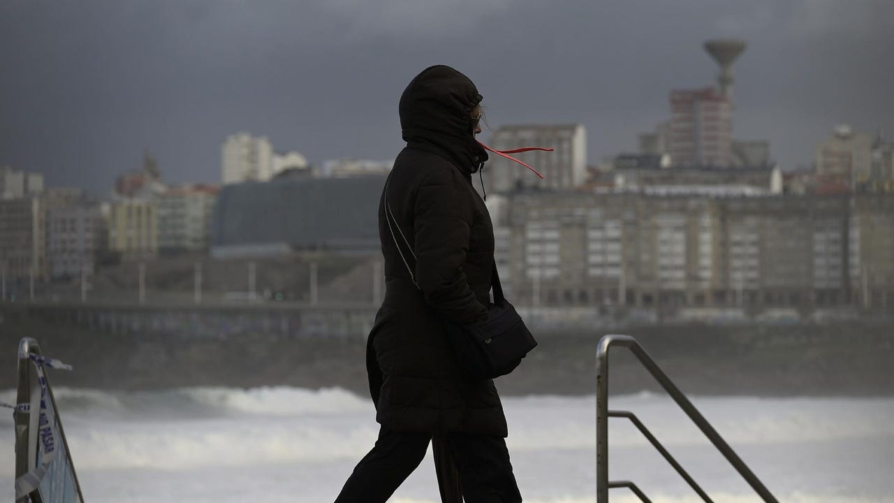
Instability will increase this Friday in a day marked by rains in Galicia and Cantabria. Besides, Huesca (Aragón) and Lleida (Catalonia) will be on a rainfall warning. Cloudy or overcast skies will extend from northwest to southeast and will end up affecting most of the territory, although the extreme southeast is less likely to be affected.
In this way, rainfall will occur in Galicia and the Cantabrian Sea, which will tend to intensify in the afternoon and extend to the rest of the extreme north and northwest third of the peninsula. Besides, could be accompanied by storm and hail. The AEMET does not rule out that the rainfall becomes locally strong in Galicia and western Asturias.
Some occasional showers are also likely in the afternoon in other areas of the northern half, interior of the Levantine area and occasionally in the Balearic Islands, where they could occur early in the day. At the same time, the prediction does not rule out precipitation in the extreme southwest of the peninsula.
The snow level will be 1,400/1,800 meters in the northern mountains and there will be weak frosts in mountain areas in the northern half.
On the other hand, maximum temperatures will drop in the Canary Islands and the southwestern half of the peninsula and will rise in the Mediterranean area and the interior of the northeast quadrant of the peninsula. lThe highest values in the entire country will be those of Murcia (26ºC); Almería, Málaga and Santa Cruz de Tenerife (24ºC) and Las Palmas de Gran Canaria (23ºC). It will be colder in Burgos, León and Santander (14), and A Coruña, Ávila, Segovia and Soria (15).
Finally, trade winds will blow in the Canary Islands and west in the Strait and, with strong intervals, in the Alborán area, as well as winds from the south and east in the Levantine area and the northeast of the peninsula, and from the west and southwest in the rest of the country, worsening in inland areas in the afternoon and shifting to the east in the Cantabrian Sea.
The rains will extend to the rest of the territory on Saturday. The largest accumulations are expected in Galicia, Asturias and the Pyrenees and will be unlikely in the extreme southeast. He Sunday a tendency towards stabilization is expected, although even with rainfall in the northeast, Balearic Islands and Melillaand with evolving cloudiness leavingor showers in the afternoon in large areas of the territory.
There will be snowfall in the northern mountains, with probable significant accumulations on Saturday in the Cantabrian Sea and the Pyrenees. The temperatures will drop in generalwith increases on Sunday in the central and western thirds of the peninsula.
What will the weather be like on May Long Weekend 2024?
The beginning of the next week will be marked by rainfall in the eastern half of the peninsula and the Balearic Islands, potentially leaving Mondaysignificant accumulations in Catalonia. From Tuesday It is expected that this instability will tend to retreat as low Atlantic pressures will enter, leaving widespread rainfall. They will be given greatest accumulated in the extreme north of the peninsula and around the Strait, being less likely in the southeast and the Balearic Islands.
Although with uncertainty, it is expected that during Next weekend, rainfall will tend to decrease, becoming increasingly limited to the north of the peninsula. There will be snowfall in the mountains of the northern and southeastern half of the peninsula, without occasionally ruling out the occurrence in lower surrounding areas, and with possible significant amounts in the Pyrenees.
With oscillations at the beginning, Temperatures will drop in the middle of the week and rise at the end. There will be frost in the mountains of the northern and southeastern half. Winds from the west will predominate, with possible intervals of strong and
very strong gusts in Alborán and under Ebro.
For its part, Eltiempo.es reports that the May long weekend will be “slightly warmer than normal” throughout Spain and It will rain more in the northeast of the peninsula and the Balearic Islands. The meteorological portal indicates that the highest values will be those of the peninsular Mediterranean region, the Balearic Islands and the Canary Islands.
Those days it will rain in the Pyrenees, northern Aragon, Catalonia and Navarra. Precipitation could be slightly below average in the Canary Islands and some areas of southern Andalusia. In this sense, the models suggest that a storm could enter the west of the peninsula between Tuesday and Wednesday as it will leave rain, although Eltiempo.es warns that the uncertainty in this regard is very high.