
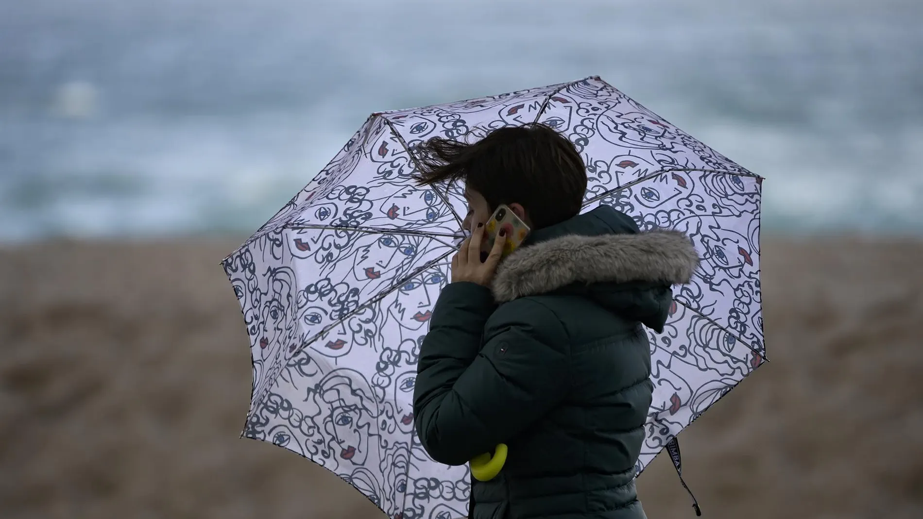
He autumn cold breaks into Spain with with a polar air mass that will leave early mornings with temperatures that will drop to 3 degrees in some inland capitals, while the south of the peninsula will maintain an almost summer atmosphere, with maximum temperatures that will exceed 30 degrees during the central hours of the day.
However, this thermal drop will be temporary. After a recovery in temperatures over the weekend, a mass of warm air will raise thermometers starting Monday October 12, Hispanic Heritage Daycoinciding with the end of the pillar bridge. The promotion will continue until Thursdaywith temperatures higher than usual for mid-October.
Rains and storms in the south and the Mediterranean
According to the prediction of the State Meteorological Agency (AEMET), This Friday the instability will be concentrated in the south and the Mediterranean, with showers and storms that may be locally strong in Ceuta and points on the southeastern coast.
The rains of recent days are beginning to subside, although the AEMET maintains yellow and orange notices in various parts of the country. The alerts affect the province of Girona, Balearic Islands, Lanzarote and Ceutamainly due to the strong waves, wind and precipitation accompanied by storms.
The most adverse situation is concentrated on the coast of Gironawhere the orange warning has been activated due to coastal phenomena in areas of Empordà. Winds from the north and northwest of between 50 and 70 kilometers per hour and waves of between three and four meters are expected there. In Menorca, also under an orange warning, waves may reach four or five meters, with winds from the north between 50 and 60 kilometers per hour.
Furthermore, the southern coast of Girona and different points of Majorca keep yellow warnings for wind and waveswith waves of between three and four meters and gusts that may reach 50-60 kilometers per hour. For its part, Ceuta and Lanzarote are in yellow warning for rain and stormswith rainfall that can accumulate up to 15 liters per square meter in one hour.
The capitals with the lowest minimum temperatures
The drop in temperatures will be noticeable especially early this Friday, with minimums that will fall to 3 degrees in Ávila, 4 in Segovia and 5 in Burgos, León, Salamanca and Huescaaccording to Servimedia. It will also be cold in Palencia, Soria and Teruel, where thermometers will be around 6 degrees.
On the other hand, the south of the peninsula will maintain higher temperatures during the central hours of the day. Seville and Huelva will reach 31 degrees, while Cádiz and Córdoba will reach 28 and Granada, Málaga and Almería will reach around 27 degrees. In Madrid, temperatures will range between a minimum of 10 degrees and a maximum of 20 degrees. Valladolid will register 7 degrees at dawn and will reach 19 during the afternoon.
The heat will gain ground again starting Monday
The drop in temperatures these days will be short-lived. Thermometers will begin to rise during the weekend and the rise will intensify from Sunday, with the arrival of a warm air mass that will extend across a good part of Spain. According to the forecasts of the meteorological portal Meteored, an anticyclonic ridge will favor a warmer than usual environment for mid-October between Monday and Thursday of next week.
Badajoz, Córdoba, Huelva, Ourense and Seville They could register maximums of 30 degrees or more, with values that locally would exceed 32. In Cáceres, Cádiz, Murcia and Zaragoza they will be around 28 degrees, while Madrid could reach 25. Night temperatures will also rise: the minimums will hardly fall below 10 degrees in the inland capitals.