
The arrival from the Atlantic of a cold air mass between today tomorrow. will cause a widespread and sharp drop in temperatures and will leave the first snowfall of the season, saccording to the forecast of the State Meteorological Agency (AEMET).
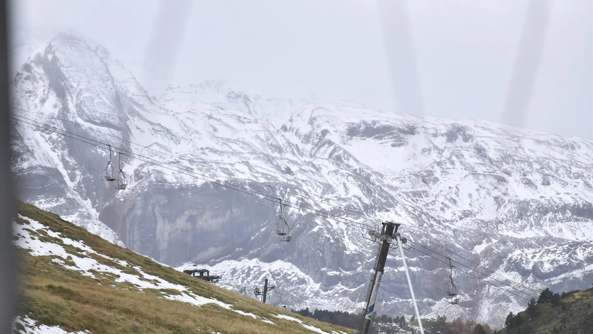
Rubén del Campo, spokesperson for the AEMET, explains that the change will be especially noticeable tomorrow, when a day of “mid autumn” marked by “sharp thermal drop”. The entry of this colder maritime air will also favor the appearance of first snow of the season on the peaks of the Pyrenees. On Thursday and Saturday, the cold atmosphere will be even more intense.
Sharp drop in temperatures
Maximum temperatures will drop this Wednesday in most of the country, with a more pronounced drop in the northern half of the peninsula and even notable in the Cantabrian Sea. According to Efe, the provincial capitals with the lowest maximum temperatures are expected in Oviedo, with 17 degrees, and in Ávila, Burgos, León, Segovia and Soria, with 18 degrees. On the Plateau it will barely exceed 20-21 degrees.
At the opposite extreme, Alicante will reach 31 degrees, Murcia will reach 29 and Málaga, Seville and Valencia will remain at 28 degrees. The minimum temperatures will be cool in the interior, with 8 degrees in Ávila and 10 degrees in Burgos, Palencia, Salamanca, Segovia and Soria.
The rains will spread across large areas of the north and east of the peninsula, with strong or very strong intensities and important accumulations in Galicia, the Cantabrian Sea, Aragon and Catalonia and the Balearic Islands. In these latter areas, they may also be accompanied by storms and hail. In a more dispersed way, showers will also occur in areas of the central peninsula, the Southern Plateau and the mountainous areas of the Canary Islands.
Thursday, colder
On Thursday the entry of colder air will be more clearly noticed, with a Sharp thermal drop in temperatures in the north and interior of the peninsula. The maximum temperatures will remain at 14 degrees in Burgos and 16 degrees in Ávila, León, Pamplona and Vitoria, while Madrid will register about 19 degrees.
In the south and Mediterranean area, the environment will be milder, with 31 degrees in Huelva and Seville and 28 degrees in Alicante, Almería, Cádiz and Málaga. The minimum temperatures will also drop sharply in the interior: 4 degrees in Ávila, 6 degrees in León, Segovia and Teruel and 7 degrees in Burgos, Salamanca and Soria.
Precipitation will be concentrated in the northern third of the peninsula, where it may be strong and persistent, as well as in Catalonia and the Balearic Islands, with storms and hail: More stable weather will prevail in the rest of the country, although some scattered storms may be recorded in the interior of the peninsula.
On Friday it will be time to scar the sheltered area
During Friday, temperatures will continue to drop in the center, south, east of the peninsula and the Balearic Islands. Del Campo has pointed out that the early morning will be especially cold in large areas of the interior, where Some cities will wake up with less than 5 degrees, such as Salamanca, Segovia, Burgos, Ávila and León, while Madrid will register a minimum of about 7 degrees. “It will be time to take out the warm clothes”has advanced.
The maximum temperatures will remain below 20 degrees in much of the north and central zone, while the wind will contribute to increasing the feeling of cold. As for rain, the atmosphere will tend to stabilize, although showers may occur in the Balearic Islands.
Possible DANA
The main uncertainty will be in the south of the peninsula, Ceuta and the Canary Islandsgiven the possible arrival of a DANA with more unstable weather. However, Del Campo has specified that its specific position is not clear and the amount of precipitation that may accumulate will largely depend on it.