
After almost all of Spain suffered the consequences of Storm Monica, which has left winter weather with intense rains, snowfall at low levels, strong winds and a cold environment, the State Meteorological Agency (AEMET) has announced a notable change in weather in the territory although some rains are not ruled out.
Starting this Tuesday, March 12, The anticyclone will gain ground in the Peninsula and the Balearic Islands, blocking the entry of fronts and leaving stable and dry weather. Today's day will be marked by a general increase in temperaturess and for practically clear skies, except in the extreme north of the peninsula, where clouds or cloudy intervals are expected.
For the next few hours, hardly any precipitation is expected, except for some light rains in the Eastern Cantabrian and they are not ruled out in the Pyrenees, where they will tend to subside during the day.
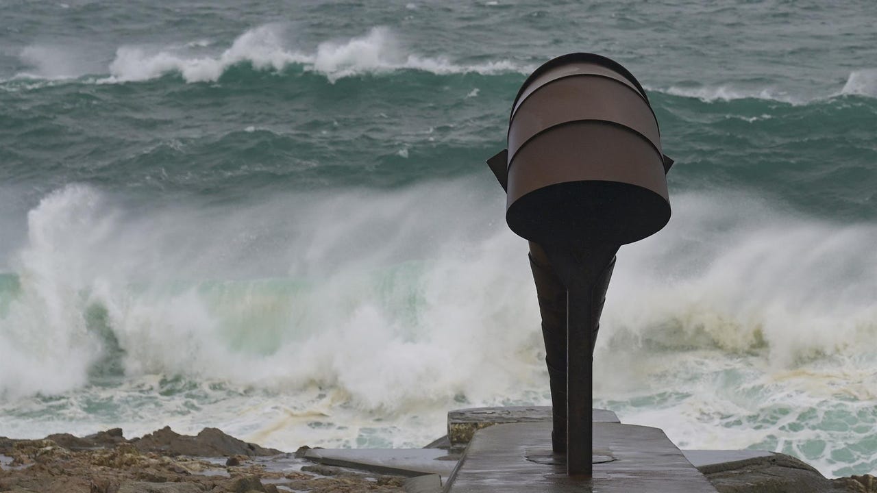
Nevertheless, Coastal phenomena and avalanches will put the provinces of Huesca, Navarra, Gerona and Tarragona at risk. Specifically, Huesca and Navarra are on alert for avalanches, while Gerona will be on alert for coastal phenomena, with wind gusts of up to 60 kilometers per hour (60 km/h) and waves of 3 meters.
Temperatures will rise throughout the peninsula –between four and six degrees in many areas– except for the Mediterranean coast, due to the arrival of cooler, easterly winds in that area. The minimums, for their part, will tend to decrease in the Peninsula and the Balearic Islands, withn frosts that will gain extensionand that will weakly affect the northern and northeastern plateau of the south, in addition to the main mountain systems, more intense in the Pyrenees.
By provincial capitals, Seville will rise to 23 degrees, Córdoba, Murcia and Huelva 21 degrees and in Zaragoza, Valencia, Tarragona, Pontevedra, Orense, Málaga, Jaén, Granada, Castellón, Cádiz, Bilbao and Cáceres (among others) the maximum They will range between 18-20 degrees.
The wind will blow from the south or southwest on the coast of Galicia, and from the west, turning east in the Cantabrian Sea and coasts of the southern peninsula, while it will be from the northwest in the Ebro valley and the Balearic Islands, and some strong intervals in the early morning from the north. in the Empordà.
The recovery of temperatures will continue on Wednesday. Both the nocturnal and the diurnal ones will rise, which will leave values above 15 degrees in almost the entire country and even 20-23 degrees in A Coruña, San Sebastián, Bilbao, Seville and Córdoba.
During the Thursday and Friday, a front associated with an Atlantic storm will move closer to the peninsula, but its effects will be felt only in Galicia and nearby areas of the northwest of the peninsula. Some typical spring showers in areas of the northern half are also not ruled out.
On these days, the night temperatures will continue to rise and the maximum temperatures will remain above 20 degrees in the Cantabrian Sea, the Mediterranean area and the south of the peninsula, and even cities such as Alicante, Valencia or Murcia could reach 24 degrees.