
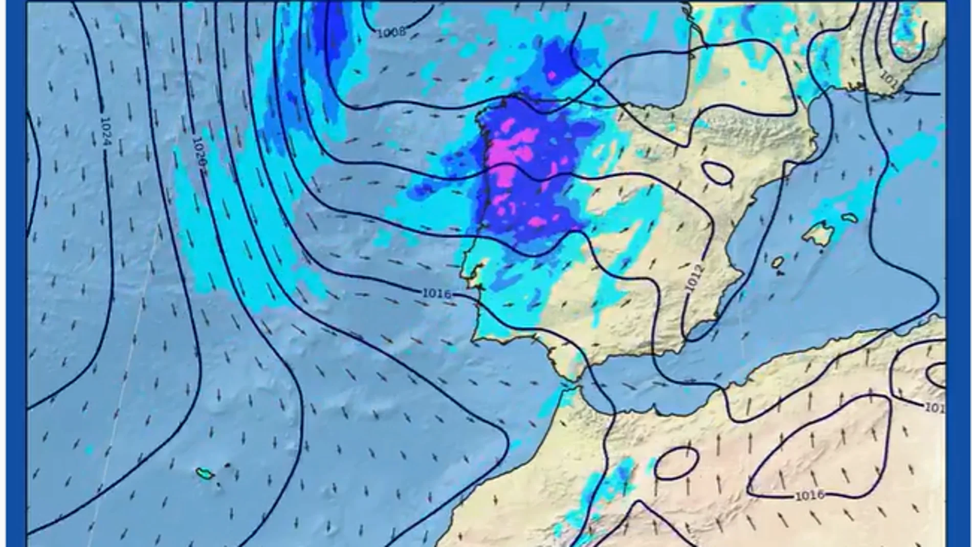
a new Atlantic storm will change the weather in much of Spain throughout this Wednesday and Thursday. The frontal system will leave abundant rainfall, locally strong storms, hail and intense gusts of windaccording to the AState Meteorological Agency (AEMET).
The instability will begin to be noticeable this Tuesday. A storm located off Galicia will move to the Bay of Biscay and a new depression will form west of Portugal, explains José Luis Camacho, spokesperson for the AEMET. “At altitude, the trough off the Atlantic coast deepens due to the appearance of a powerful polar jet in its rear part with consequences in the western half of the country. In the eastern half, however, conditions are stable today,” says Camacho.
This Tuesday they are expected heavy showers in Asturias and the northeast of Galiciain addition to a notable drop in temperatures in Cantabria and the Basque Country. In contrast, the eastern half, the Valencian coast, the southeast and the Balearic Islands will for the moment maintain a stable and intense heat.
The intensity of the storm increases on Wednesday
On Wednesday the storm worsens. The storm will deepen northwest of Galicia and send a cold front driven by a marked trough at altitude. It will cross a large part of the peninsula with very strong gusts of wind, capable of causing adverse phenomena in the Northern Plateau and mountain systems.
They are expected strong storms with hail and significant accumulations of rain in the western half of Galicia. Meanwhile, in the Ebro Valley, the eastern Cantabrian Sea and the Balearic Islands, thermometers will register a notable rise in temperatures.
The worst moment will come on Thursday
He peak of instability will be reached this Thursdaywhen the storm, already moved towards the British Isles, fully affects the northwest of the peninsula. The day will bring a sharp drop in temperatures inside, along with persistent rainfall that could extend to the southwest of the country, northeastern coasts and the Balearic Islands.
However, The Mediterranean coast will be left out of the thermal declinewith temperatures that could again exceed the 35 degrees in Mallorca, the Levantine pre-coastal and the southeast.