
As pointed out yesterday weather forecast for this weekend, the weather situation in Spain will be stable in most of the territoryrecording many hours of sun and cold in the northern half of the peninsula, while there will be frost during the early mornings, especially in the interioras well as fog in areas of the plateau and in the valleys of the large rivers, especially in the north.
In this way, the State Meteorological Agency (AEMET) stands out as significant phenomena streaks of “very strong” winds in the western Canary Islands and in the lower Ebro in Castellón and Tarragonaas well as fsevere frosts in mountain areas of the extreme northwith possible dense fogs in points of both plateaus and depressions in the northeast.
Maximum temperatures rise throughout the territory
The AEMET points out in his weather forecast that Maximum temperatures will increase throughout the day, with “light” rises in the Peninsula and the Balearic Islands and “moderate” rises in the Canary Islands.. However, the State Meteorological Agency warns of “some declines” in the northeast of the peninsula. Meanwhile, the minimum temperatures will increase in both archipelagos, although they will decrease in the rest of the country.
In this way, in provincial capitals such as Alicante, Almería, Badajoz or Huelva, the mercuries will touch 20º C maximum temperature, while in the Canary archipelago they will pass them, and the minimum temperatures will remain cold, as is the case of Ávila, Burgos or León with minimum temperatures around -4º C.
As a result, they will be recorded weak frosts in most of the inland areas of the northern half of the peninsula, east of the southern plateau and southeastern mountain rangesreaching “forts” in the mountains of the extreme north of the Peninsula.
A day marked by an anticyclone
The State Meteorological Agency points out that A day marked by an anticyclone is expected, both in the Peninsula and in the Balearic Islands, where slightly cloudy skies or with intervals of high clouds will predominate.. Thus, only a cloudier environment in areas of the extreme north of the peninsulawhere rainfall may occur that affects the eastern Cantabrian Sea and the Pyrenees, although it is not ruled out in other parts of the Cantabrian Sea, western Galicia, northeastern Catalonia or northern Balearic Islands.
However, the AEMET warns that “Some showers could fall in the early hours of the morning in Huelva”while this precipitation could reach in the form of snow from 1000 / 1200 meters in the Pyrenees.
On the other hand, there will be low morning cloudiness, with probable fogs, which will affect areas of both plateaus and depressions in the northeast. In Canary IslandsFor its part, it is expected abundant cloudiness of medium and high type tending to increase throughout the daywhich will leave possible showers on the most prominent islands at the end, when the entry of light haze is also expected.
“Very strong” winds are expected in the Canary Islands and the Peninsula
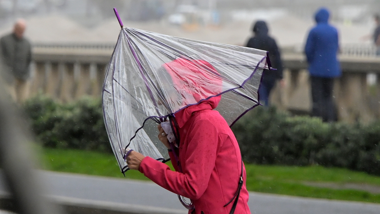
The AEMET points out that Winds will blow from the east and southeast in the Canary Islands with “strong” intervals of wind and “very strong” gusts in the western islands. In this way, winds from the east will also predominate, which will generally be weak, in the south of the peninsula, while in the rest of the Peninsula winds from the west and north will predominate. Thus, “more intense” winds are expected in the Strait, Cantabrian Sea, the Balearic Islands and Ampurdán, while In the lower Ebro, “very strong” gusts are expected in the north of Castellón and south of Tarragona.