
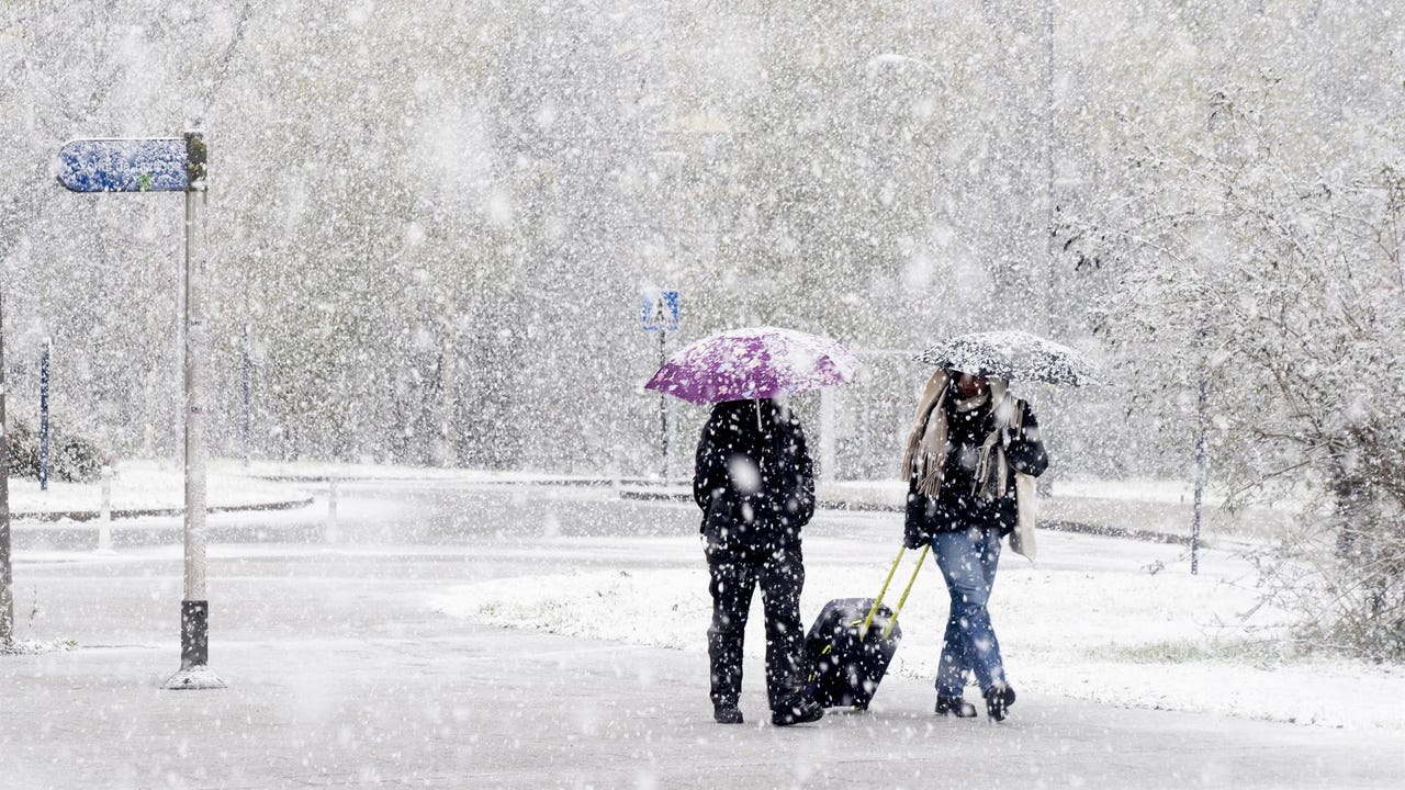
The week will be marked by a full winter atmosphere: rain, snow and wind will be the protagonists in the coming days. This Tuesday, a total of eleven communities are on alert for snowfall, wind and/or sea storm. In Catalonia and the Valencian Community, the expected gusts of wind, which may reach 100 kilometers per hourthey keep the orange level activated due to significant risk.
They are in yellow level due to snow Aragón, Castilla y León, Navarra (also due to rain) and also Catalonia, which is also affected by sea storms and wind, although in this case at orange level. To these communities are added other areas on yellow alert due to maritime storms: Andalusia, Asturias, Balearic Islands, Galicia, Cantabria and the Basque Country -these last two also affected by intense rains-, in addition to the Valencian Communitywhich continues with a warning due to very strong gusts of wind.
Strong gusts, notable snowfall and heavy rain
According to the State Meteorological Agency (AEMET), gusts of up to 100 kilometers per hour could be recorded on the southern coast and pre-coastal of Tarragona throughout the day. Similar values are expected in the northern interior of Castellón, while on the northern coast of this province the gusts could reach 90 kilometers per hour.
As for snow, it is expected thicknesses greater than 10 centimeters in the Pyrenees of Huesca and Navarre and in the Arán Valley, from 900 meterss, especially towards the end of the day. In the Cantabrian mountain range, accumulations will exceed 5 centimeters above 1,200-1,300 meters in areas of León, Palencia and Burgos.
Precipitation will also be prominent in the Cantabrian slope of Navarra and the coast of Guipúzcoawhere the 40 liters per square meter in twelve hours. On the Basque and Cantabrian coasts, rainfall could exceed 15 liters per square meter in just one hour.
On the other hand, yellow warnings due to maritime storms remain active on the coast of Almería and Granada, the Balearic Islands, the Cantabrian and Basque coast, the northwest of A Coruña, A Mariña in Lugo, the Asturian coast, various areas of Catalonia and the coast of Castellón. In Galicia and the Cantabrian Sea, the waves may reach between four and five meters high.
Temperatures drop
The thermal decrease will continue during the day on Wednesday, while the rainfall will lose intensity and will be limited to the Cantabrian Sea, upper Ebro, the Pyrenees and the Balearic Islands. The madrigada will be especially cold, with intense frosts in the Pyrenees and in northern and eastern interior areas, where Cities like León or Teruel will be around 2 degrees below zero. During the day, the atmosphere will be cold in most regions. with minimums of 10 to 12 degrees, except on the Andalusian Mediterranean coast, where it will exceed 20 degrees.
On Thursday and Friday, stable weather will predominate, with cold mornings and widespread frosts.s, more intense on Thursday. Temperatures will continue to be below 10 degrees in much of the north and center of the peninsula, although on Friday they will rise slightly and in the south of Andalusia they will reach around 18 ºC.