
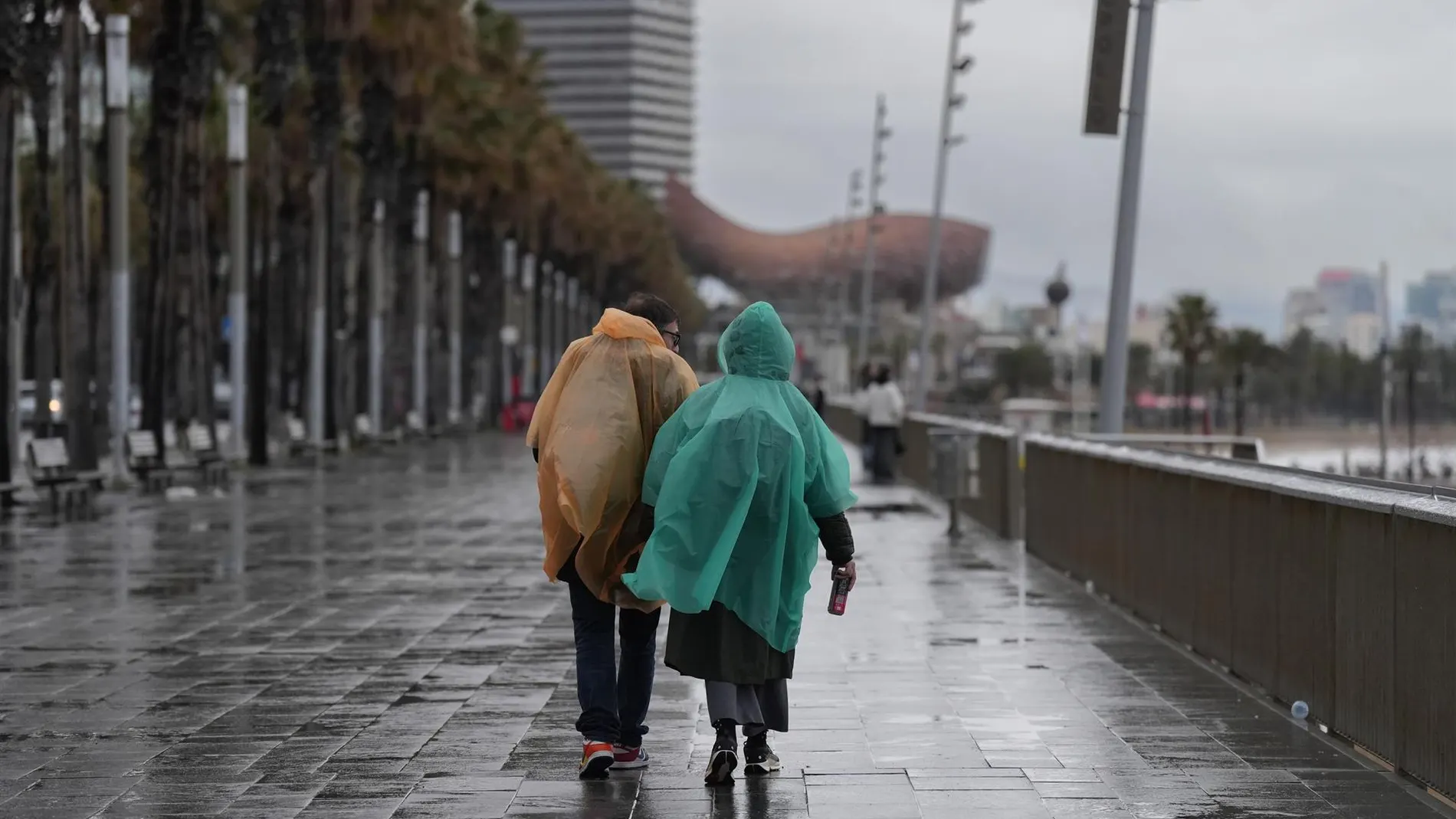
Spain will face Friday, September 18, with a very unequal distribution of time. Attention will shift to the Mediterranean, where the day will begin with overcast skies and precipitation that could gain intensity, while large areas of the interior will maintain intervals of high clouds and a more stable environment. The heaviest rains are expected in the Balearic Islandsespecially during the first hours, with the risk of storms.
The episode will focus on Mallorca and the Pitiusas Islands, although it will also reach the coasts of Catalonia and some mountain ranges in the southeast of the peninsula. The possibility that the showers will be very strong in parts of the archipelago will be accompanied by significant accumulations. The first half of the day will concentrate the greatest instabilitybefore the clearings advance along the eastern façade.
The north will retain a grayer appearance due to the passage of a front, with weak rains in the Cantabrian area. In the rest, the evolution will be calmer, although the clouds will grow again in the afternoon in mountain areas and in the southern interior. Temperatures will rise in much of the Peninsulawith notable differences between the records of the interior and those of the archipelagos.
The cloud map
The State Meteorological Agency (AEMET) places the highest risk on the Mediterranean coast. Its prediction for Friday includes heavy showers on the coast of Catalonia and a greater probability that they will be very strong in Mallorca and the Pitiusas islands, with storms and significant accumulations during the first half of the day. Isolated rainfall may also appear in other parts of the eastern coast, but the trend will be towards a decrease in cloudiness.
In the extreme north, the front will leave cloudy or overcast skies and weak rainfall in the Cantabrian area. In the afternoon clouds of evolution will grow in the southern interior and in the mountains of the rest of the country, with showers in the southeastern mountains, which could reach strong intensity in its eastern end. The Canary Islands will have cloudy skies and light rain in the northern areas of the islands, with cloudy intervals in the rest.
Thermometers and wind
The maximum temperatures will increase slightly or moderately in the Peninsula, while the Balearic Islands will barely change and the Canary Islands will register a decrease. In the south, Badajoz, Córdoba and Seville will reach 33 degrees; Cáceres will remain at 31, and Almería, Granada, Huelva and Jaén will reach 29. Madrid and Barcelona will mark 27 and 26 degreesrespectively, with 29 in Toledo and Zaragoza. In the north, A Coruña will remain at 23, Bilbao at 23, Oviedo and Santander at 21, and Vitoria at 21.
The minimums will change little in most of the country, although they will rise in the Strait and in the mountains of the west and northwest. In the low areas of Extremadura they will descend, and The peaks of the Pyrenees could register weak frosts. The early morning will be colder in Soria, with 5 degrees, and in Ávila and Salamanca, with 7; In Burgos, 8 are expected, while Palma will have 18 and Santa Cruz de Tenerife, 22.
The wind will blow moderately from the north in the archipelagos and on the coasts of Galicia and the east of the peninsula. Strong intervals are expected in the Ampurdán, the Galician coast and the Canary Islands, with greater intensity in the archipelago. The east will be moderate in the Strait and Alborán, while the interior will remain with light winds and a predominance of the north in the northern half and the east in the southern half. The Cerzo will have moderate intervals in the Ebro and the northeast will gain presence in the Northern plateau.