
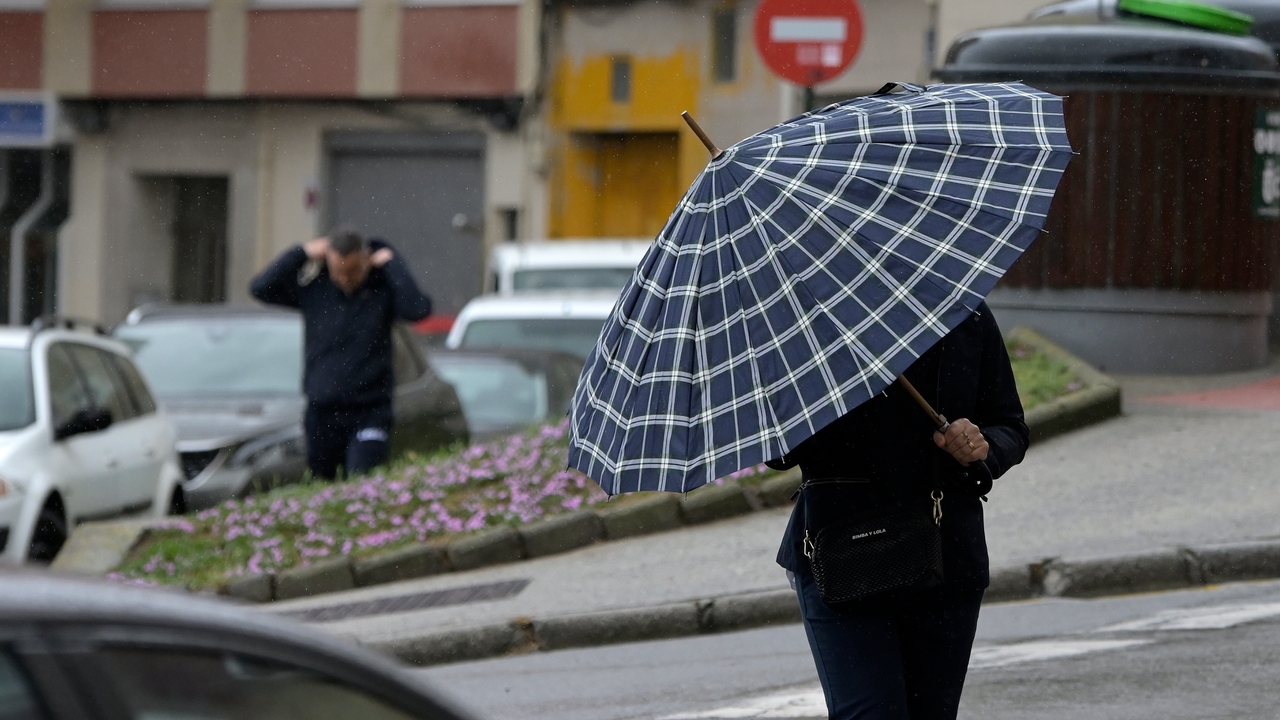
Storm Garoé will continue to leave heavy and persistent rain in areas of the southwest, central peninsula and the Canary Islands during the next few hours. But it won’t be the only one. A new storm named Éowyn, which could undergo explosive cyclogenesis, is approaching with more precipitation, intense wind and rough seas.
Since last Monday, Garoé has left accumulations of more than 100 liters per square meter in the north of Extremadura, the south of Castilla y León and areas of Andalusia, such as Huelva. In Garganta la Olla (Cáceres) up to 175 liters per square meter have been recorded between Monday and 8:00 a.m. on Wednesday, according to data from the State Meteorological Agency (AEMET).
For Thursday, a “small truce” is expected with less intense and localized rains, especially in Andalusia, with possible strong or persistent rainfall.. Snow is also expected in the mountains of the northern halfstarting at about 2,000 meters. Temperatures will be mild for the season, although decreasing. In the Canary Islands, the weather will be rough, with locally intense rain and stormy showers, especially on the more mountainous islands, and with snow on the summits above 2,000 meters.
Friday will be a day of transition between the storm Garoé, which is leaving, and Éowyn, which is arrivingwith slightly cloudy skies in the east of the peninsula and in the Balearic Islands and little rain, except in Galicia and other nearby points, where the effects of the new storm will begin to be felt starting at noon.
For Saturday, the front associated with Éowyn will cause widespread rain on the peninsula, although it will be less likely in the Mediterranean. The rains will be more abundant in Galicia, around the Central system, the north of Extremadura and the south of Castilla y León, with snowfall below 1,200 meters in the Cantabrian mountain range. Temperatures, in general, will tend to drop, but without reaching “intense cold.”
On Sunday it will continue to rain in Galicia, the northwest of the peninsula, the Cantabrian Communities and around the Central system. Starting next week, a new front will bring widespread rain to the peninsula, although the most relevant thing will be the thermal drop, which will bring a more wintery atmosphere in much of the country.
Explosive cyclogenesis or “bombogenesis”
On the other hand, eltiempo.es indicates that the storm Éowyn, named by the Met Office, is approaching strongly and will bring a strong storm of rain and wind to the British Isles starting on Friday. As it crosses the Atlantic, it is expected to undergo cyclogenesis.
In our latitudes, a storm is considered to be formed by explosive cyclogenesis or “bombogenesis” when the pressure in its core decreases by at least 24 hPa in a period of 24 hours. In this case, the pressure of the storm Éowyn is expected to fall by more than 30 hPa between Thursday and Friday, according to the meteorological portal.