
The weather for the next few days will be marked by a atlantic storm that, although it is far from Spain, it will send us fronts and rains and leave a very pronounced thermal drop maximums. In areas of the western and central half, daytime temperatures will be between 5 and 10 degrees lower than usual.
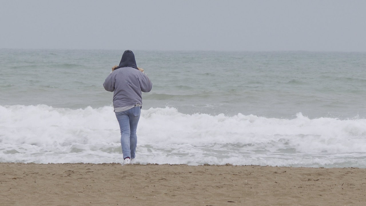
The prediction of the State Meteorological Agency (AEMET) for this Wednesday indicates that there will be rains in much of the peninsula and a sharp drop in temperatures in practically the entire country. Catalonia keeps the “yellow” alert activated (risk) due to the expectation that heavy rainfallwhich will be especially intense in coastal areas.
The heaviest rains are expected to occur early in the morning and the most affected areas will be mainly the coastline of the coast of Tarragona and the coastline of Barcelonato. Meteorological data indicate that precipitation will be recorded accumulated 20 liters per square meter in one hour.
In the rest of the country, only “yellow” notices are maintained in the communities of Galicia and Asturias before the expected strong waves for the day. The AEMET indicates that they could register waves of up to 5 meters and strong winds of up to 60 kilometers per hour.
In the Cantabrian Sea and the Pyrenees there will be precipitation in the form of snow, although without expecting accumulations. The snow level will drop to 1,600/1,800 meters in the Pyrenees, and with low probability, to 1,400/1,600 meters in the Cantabrian region.
Temperatures will drop in practically the entire country, both maximums and minimums, more pronounced in the western half of the peninsula where the drop in maximums may be notable. There will be some slight increases in maximum temperatures in the northeast of Catalonia and the eastern Cantabrian Sea and weak frosts in high areas of the main mountain systems in the north of the peninsula. Cities like Ávila, León, Burgos, Lugo, Palencia, Segovia or Soria will barely reach 15 degrees.
Wind will blow from the west in most of the Peninsula, more intense in the afternoon, and arriving at strong intervals with very strong gusts in Alborán and the coasts of northern Galicia and the western Cantabrian Sea. The northern and eastern components will predominate in the northern half of the Mediterranean area, and trade winds will blow in the Canary Islands, also arriving at strong intervals with very strong gusts in exposed areas.
On Thursday, the arrival of a new front will leave rain and showers, mainly in the northern third, although not ruled out in the rest of the northern half and around the central and Iberian system, with snow above about 1,500 meters in the mountains.
It will be the coolest day of the week. In the Guadalquivir valley it will not exceed 22 degrees and in much of the interior of the northern half and central area and western points of the peninsula it will not reach 18/20 degrees. Despite this, in the Valencian Community temperatures will clearly rise, especially in the province of Valencia. Specifically, the city of Valencia and Murcia will be around 28 to 30ºC.
Starting on Friday, a gentle but continuous thermal rise will begin, until temperatures gradually rise to values typical of the season. In fact, on Sunday it will probably already exceed 20 degrees in most of the country and 25 in the south and the Balearic Islands. Meanwhile, in the extreme north of the peninsula, evolution clouds will grow in the afternoons, which will leave stormy showers in mountain areas of the Peninsula and the Balearic Islands, generally not too intense.