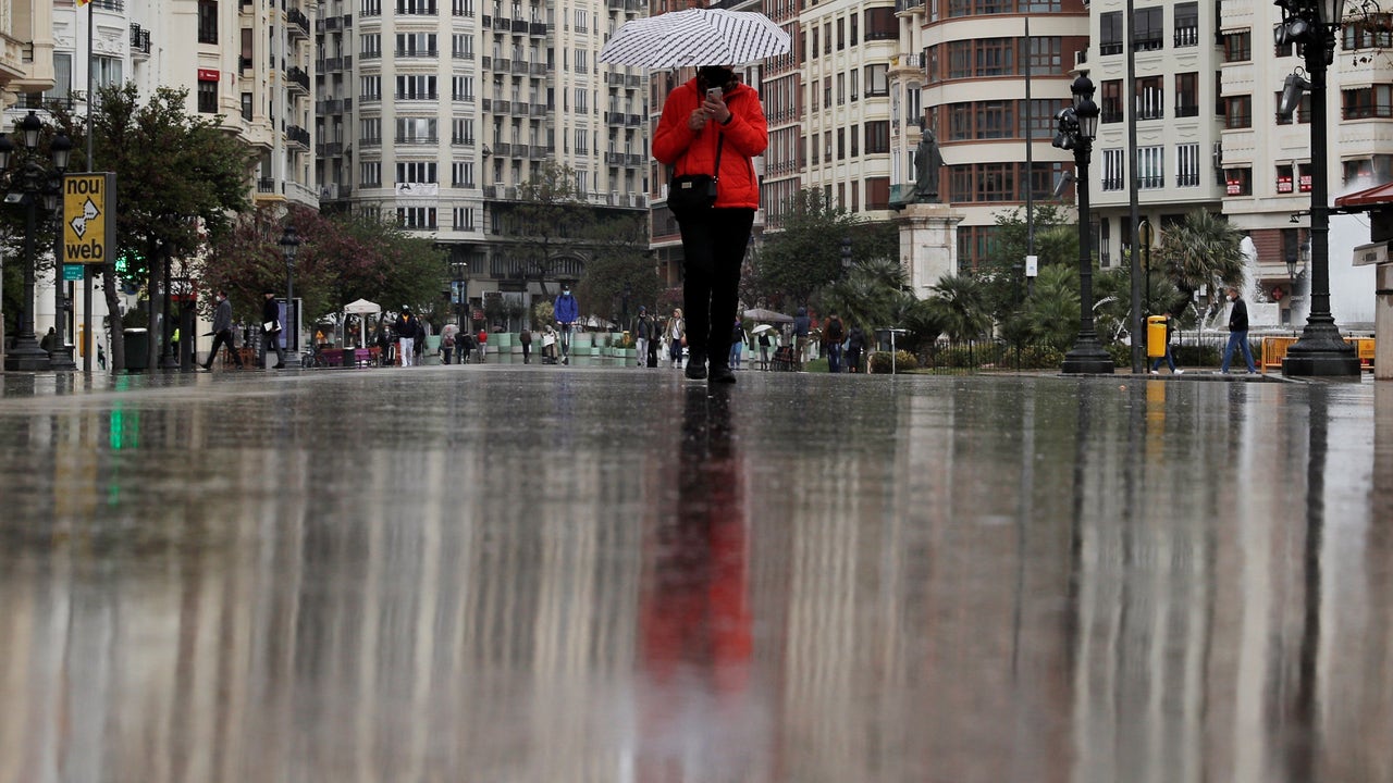
This week we have forgotten about the summer weather in almost the entire country. A cold storm is leaving abnormally low temperatures for the season and intense rainfall and storms in several regions. They even keep falling snowflakes in the mountains. What weather awaits us in the second half of May? Samuel Biener, Meteored expert, advances the first forecasts for the next two weeks of this month.
Will polar air eruptions continue? Where will it be warmer?
According to the latest Meteored reference model forecasts, after a few cool days, From May 20 to 27, temperatures could be between 1 and 3 ºC above average on the Mediterranean slope and in areas such as the Ebro valley, eastern Cantabrian, Pyrenees, central points, Mallorca and Menorca.
The other side of the coin would be found in areas of Galicia and much of the western peninsula, where no significant thermal anomalies for the time are observed for now. In the Canary Islands, the Pitiusas and in the south of Andalusia the values would be somewhat above average.
How will May be said goodbye? Uncertainty increases as we move further away in time, but the most probable scenario for the last days of the month shows temperatures 1 to 3 ºC higher than the climatic average in almost the entire Peninsula, says Bieeer. In Galicia and the Cantabrian slope the values could remain more contained.
Will there be abundant rains in regions hit by drought? Where is it going to rain?
The Meteored expert remembers that spring is a season in which precipitation usually predominates as showers and storms, so it is very difficult to specify at the local level even in the short and medium term. These predictions generate a lot of expectation, because although the drought has eased somewhat in Andalusia and Catalonia, it is necessary for it to continue raining in these regions and in other parts of the Mediterranean coast and southeast of the peninsula.
The latest ECMWF model forecasts show that During the week of May 20 to 27, rainfall could be below average values in areas of the southeast, Mediterranean coast and the Balearic Islands, but this does not rule out that it could rain. In the rest, no significant anomalies have been observed for now. For the last days of May, rain will be around average in the north, while in the south it will be a few dry days.
Probable change in weather pattern
Although there is no definite weather pattern as of this weekend, “The Scandinavian blockade situation could give way to a positive NAO in the final stretch of the month.s,” Biener warns. With this configuration, storms tend to circulate at higher latitudes, but it is likely that some drops of cold air (troughs or danas) may approach from the Atlantic.

