
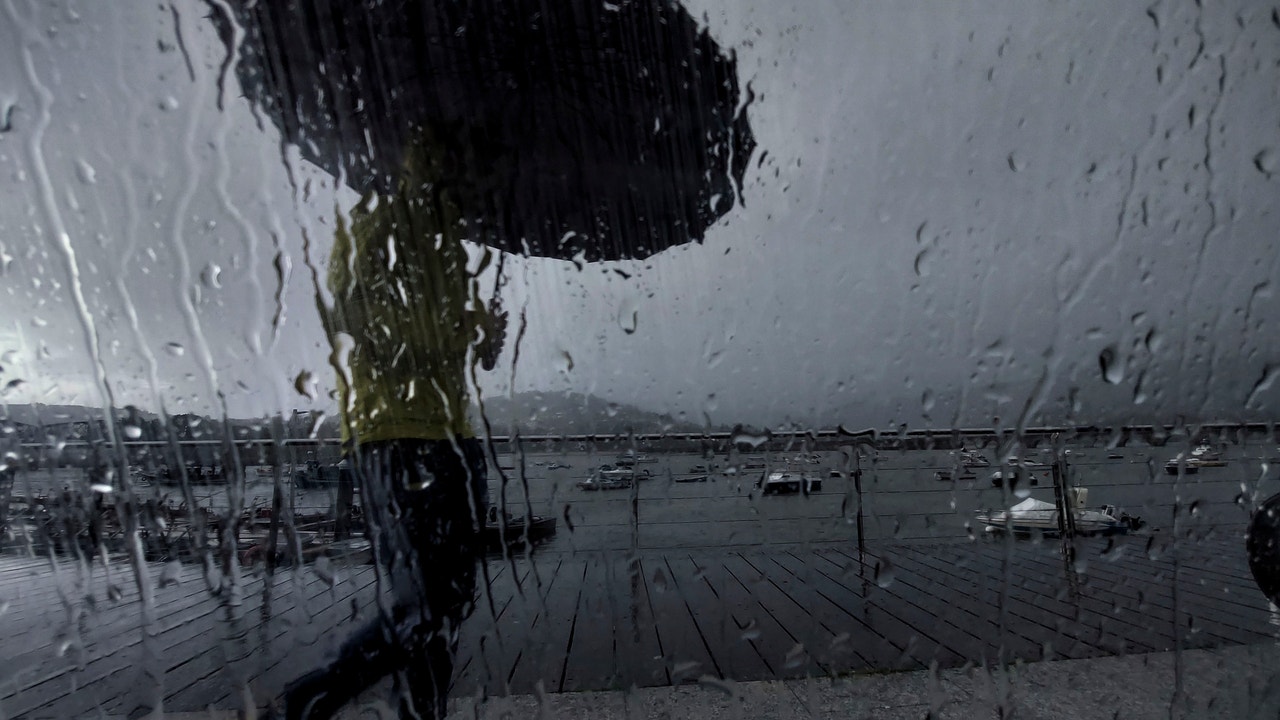
He spring time The next few days will predominate in Spain, with temperatures higher than normal for the season. However, the country will also find itself under the effects of storm Olivia, recently named by the Portuguese meteorological services. The entry of several fronts will leave rainfall especially in the north of the peninsula and in the Canary Islands during the weekend. Furthermore, the presence of haze will leave a cloudy atmosphere and it is not ruled out that they may occur rains of mud or “blood.”
This Thursday anticyclonic weather will prevail in most of the territory, with cloudy skies or high clouds, with the exception of the extreme northwest of the peninsula, where the frontal systems will leave cloudy skies and rainfall in western Galicia. According to the prediction of the State Meteorological Agency (AEMET), maximum temperatures will increase sharply in the interior of the country and in areas of the Mediterranean area up to 28ºC in Murcia. The only announcements of the day will be in A Coruña for wind gusts of up to 80 kilometers per hour (km/h) and coastal phenomena.
In this way, the daytime prices will rise more than 3-4 degrees in relation to Wednesday in large areas of the interior. Temperatures will exceed 18-20 degrees in much of the territory and 25 degrees or more in much of the Cantabrian Sea and the Mediterranean. Thermometers will rise to 28ºC in Murcia, 27ºC in Valencia and 26ºC in Bilbao and Seville. In turn, the minimum temperatures will rise in the northeast and Mediterranean Andalusia and will fall on the Atlantic slope, especially in valleys.
He Friday will register a new thermal riseexcept on the shores of the Mediterranean, where breezes will arrive and maintain temperatures around normal values for this time of year, while in the rest of the country the temperature will remain. stable weather, with rain only in the west of Galiciasays the Aemet spokesperson.
That day it will generally exceed 22 to 24 degrees. Thus, 27 to 29 º will be reached in points of the Cantabrian Sea, Ebro Valley, southern Extremadura and interior of Andalusia, it could even reach 30º in cities like Badajoz, Jaén, Seville or Murcia, temperatures that will be between 5 and 10º above normal for these dates throughout Spain. Are temperatures may be accompanied by suspended dust, which will give rise to haze.
He Saturday a front will reach the northwest of the peninsula and leave rain in Galicia, Asturias and northwest Castilla y León, which would be accompanied by mud because the haze will continue. There will be a thermal drop for the western third of the Peninsula, but in the rest they will continue to rise more and temperatures in the Balearic Islands could be around 28 to 30º, while in large areas of the peninsula they will reach more than 25º and will reach 30º in the Eastern Cantabrian, Ebro and Guadalquivir Valleys.
On Sunday they will continue to arrive in front of the peninsula and there will be rain and showers in the Cantabrian Sea, Navarra, La Rioja, a good part of Castilla y León and also in Extremadura, without ruling out that they could reach the central area, but it is not expected that they will reach the Mediterranean area or the Balearic Islands.
There will be a sharp drop in temperatures in the interior of the peninsula, although they will still rise more in the Levante area and on Sunday they will still be able to exceed 30º in points of eastern Aragon, inland Catalonia, in the south of the Valencian Community, in the region of Murcia and in the Balearic Islands. In the rest of the country, despite the drop, there will still be spring values, above 20º in many areas.
Refering to Next week, it will begin with the passage of fronts that will leave precipitation, especially in the northwest and north of the peninsula, and temperatures will continue to drop.