
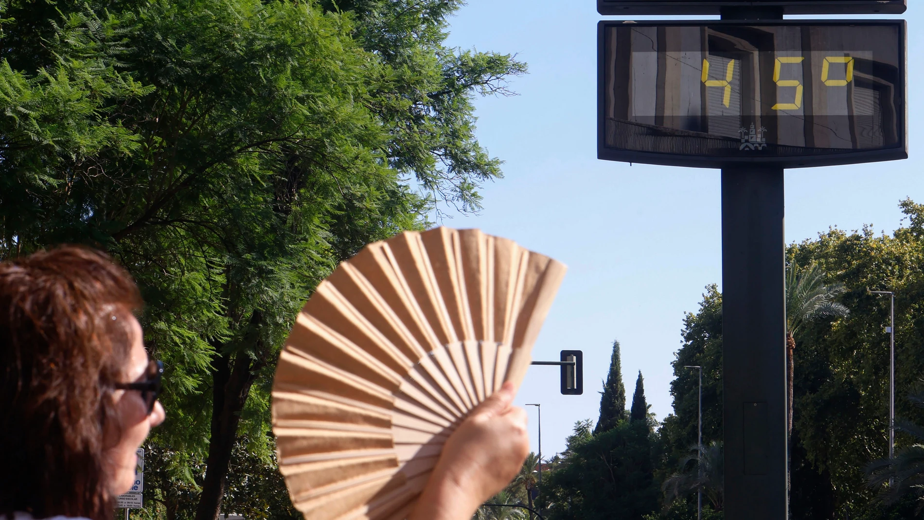
The State Meteorological Agency has drawn for this Tuesday, August 11, 2026, a map dominated by high temperature warnings and, in a more limited way, by storms evenings in the far north.
Most of the country will dawn with clear or slightly cloudy skies, except in the Cantabrian strip, the upper Ebro and some Mediterranean coasts, where intervals of low clouds and fog banks during the first hours. In Galicia, the Cantabrian Sea and Alboran, these mists may be persistent and take the form of coastal fogs.
Intense heat in the south and northeast
The temperatures maxims They will rise in the western and northern halves of the Peninsula, an increase that will be locally notable in the eastern Cantabrian Sea. In the Strait, however, will go down slightly. The rest of the territory barely You will notice variations.
What will remain unchanged is the dominance of sweltering heat across wide swaths of the country. HE will overcome 35 degrees in a good part of the southern half, the northeast quadrant of the peninsula, the Balearic Islands and points of the Northern plateau, without it being possible to rule out that this level will also be reached in the Miño area. In the Guadalquivir valley the thermometers they will be able exceed 40 degrees, with Córdoba as one of the most affected capitals, registering a forecast of 41.
Relief will not come at night. The AEMET insists that a new day of tropical nights will be chained, those in which the mercury does not go below 20 degrees, in large areas of the southeast half of the peninsula and in the two archipelagos. The situation will be more adverse on the Mediterranean coast, where the minimum temperatures will locally remain above the 25 degreesa value that makes rest difficult and triggers the feeling of embarrassment.
The minimal They will rise in the central north and northwest, while in the rest they will remain stable.
Strong storms and hail in the eastern Pyrenees
Faced with this general panorama of clear skiesthe afternoon will bring a chapter of instability concentrated in the northern mountains and in the eastern third of the peninsula. The evolving cloudiness will give way to showers and storms that, although scattered, can reach strong intensity in the eastern Pyrenees and its surrounding areas.
The agency warns that these storms will be accompanied by hail and gusts of wind very strongso extreme caution should be taken in that specific area.
In the rest of the country, the wind will blow loosewith a predominance of the eastern component in the Balearic Islands and the Mediterranean slope, the northern component in Galicia and the Cantabrian Sea, and the western component in the other areas. In the Canary Islands, the trade wind will continue with strong intervals and probable very strong gusts in exposed areas. The archipelago canary It will dawn with clouds in the north of the most mountainous islands, while clear skies will predominate in the rest.
The forecast also includes the possible presence of haze light in Alborán and in the east of Canary Islandsa factor that will be added to the heat and storms to make up a meteorological day of contrasts.