
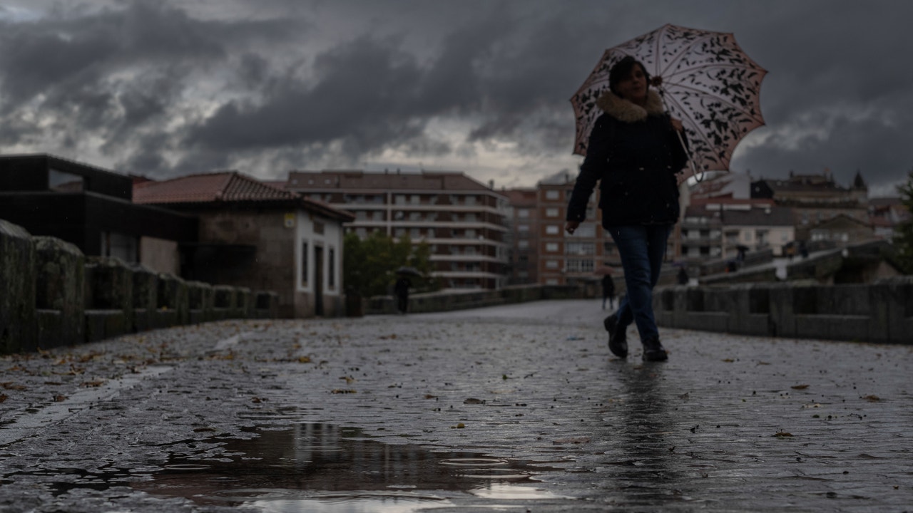
During the next few hours, large areas of the peninsular Mediterranean and the south of the Balearic Islands will be affected by “locally intense” showers and thunderstormscapable of discharging up to 20 liters per square meter in one hour. However, it is expected that this instability will tend to progressively decrease heading into the weekend, while the cold of the season will persist in the rest of the country.
According to Rubén Del Campo, spokesperson for AEMET, although there are “little danas” in the surroundings of the peninsulathe main cause of these precipitations is the “presence of low pressures in the south of the peninsula”, which cause a flow of very humid winds from the Mediterranean, which favors the formation of rains and showers.
The most significant accumulations of rain will be recorded in Andalusia, Murcia, Valencian Community, Catalonia and the Balearic Islands. For its part, the meteorological portal Meteored has issued a notice indicating that “between today and tomorrow a dana could generate storms that leave more than 50 liters per square meter“.
Strong storms and cold
This Wednesday instability is concentrated in the Mediterranean, with intense showers in Catalonia, Valencian Community, southern Andalusia and the Balearic Islands. In the extreme north, light rain and snowfall are expected above 600 meters, which will rise to about 1,000 meters by the end of the day. In the rest of the country, the atmosphere will be cold, with maximum temperatures below 10 degrees in the northern half and the central zone.
He Thursday A similar panorama will be maintained, with intense rains in coastal areas of the Mediterranean and snowfall in the Catalan Pyreneesn. Night temperatures will drop even further, causing widespread frosts in the north and center of the peninsula, with minimums of up to -3 degrees in cities such as Zamora, Salamanca, Segovia, Palencia, Ávila, Burgos, Pamplona or Teruel. During the day, temperatures will rise slightly in the north and in the Mediterranean area. In Bilbao and Santander they will be close to 15 degrees and in Alicante, Murcia or Almería, up to 17 degrees.
Anticyclonic weekend
The sun will predominate on Friday in most of the country, although an area of low pressure could leave weak rains in Extremadura and western Andalusia, more intense around the Strait and Alborán. Night frosts will continue in the interior, while daytime temperatures will be warmer in the Mediterranean and the Balearic Islands, reaching 18 degrees in Palma de Mallorca. Anticyclonic weather will predominate over the weekend, with abundant fog banks. lThe temperatures, typical of December, will be around 10 degrees in inland areas and will be somewhat higher in the Cantabrian Sea, the Mediterranean and the south of the peninsula.
4th