
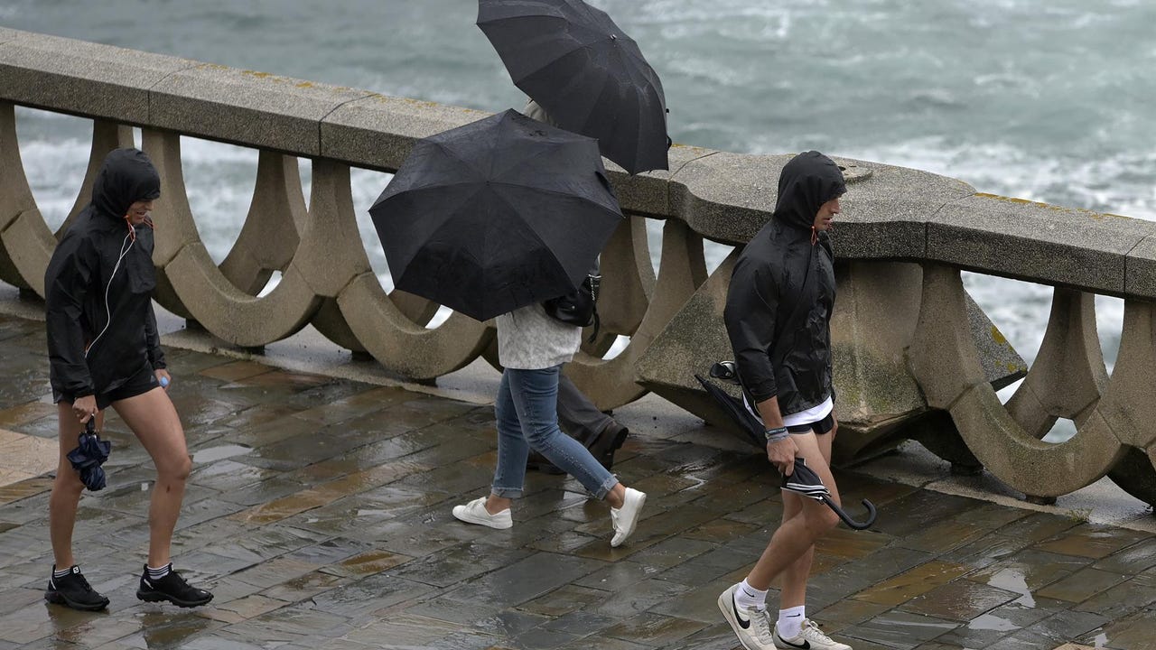
This week we expect a unstable weather in the Mediterranean area of the peninsula and in the Balearic Islandswith rains and showers that could be intense, according to the State Meteorological Agency (AEMET). It will also rain in Galicia, with rainfall that will extend to much of Spain on Friday due to the passage of a front, accompanied by a marked drop in temperaturesace. Until then, temperatures will remain within normal range for the end of October, although somewhat warmer in certain spots.
An Atlantic front will finish touring the north of the eastern Peninsula Tuesday and will leave overcast skies in the north and Precipitation that could be strong and stormy in areas of the Valencian Community, southern Catalonia and the Balearic Islands. Weak rainfall will affect the Cantabrian area, north of the Iberian system and the Pyrenees, although they will tend to cease and clear up in the northwest. Heavy rainfall from the east could occasionally extend to other points in the eastern half and the Strait. In the rest of the country, the skies will be clear.
Maximum temperatures on the Peninsula will experience a general decreaseespecially in the northeast half and more significantly in the Cantabrian area. However, slight increases are expected in southern Galicia and western Extremadura and Castilla y León. As for the minimum temperatures, they will tend to rise slightly in most of the country, except in the eastern Cantabrian Sea, where they will fall, and in the archipelagos, where hardly any variations will be noticed.
The provincial capitals that will register the highest values will be Murcia with 27ºC; Alicante, Badajoz and Santa Cruz de Tenerife with 26ºC; and Almería, Cádiz, Castellón de la Plana, Córdoba, Granada, Huelva, Las Palmas de Gran Canaria and Seville with 25ºC.
Mild environment before thermal collapse
He Wednesday, Instability will continue in the east of the peninsula and the Balearic Islands, with heavy rains and showers in the Valencian Communitywhile the west will enjoy clearer skies. Temperatures will rise noticeably in the north, reaching 25ºC in cities such as A Coruña, Ourense and Bilbao.
Showers will continue on Thursday in the Mediterranean and the Balearic Islands, and a new Atlantic front will bring rain to Galicia, Asturias, western Castilla y León and northern Extremadura.. In the rest of the territory it will not rain and no major changes in temperatures are expected.
DANA and winter aperitif
He Fridaythe front will cross the peninsula, leaving rain in many areas and a notable drop in temperatures, especially in the west. This cold will extend to the east and the Balearic Islands on Saturday, with the possibility of frost in mountainous areas. Looking ahead to the weekend, instability could increase again in the Mediterranean area and Balearic Islandss, with intense rains. The Meteored portal warns that the end of the week could be even more complicated due to a possible DANA (Isolated High Level Depression), which would form if a trough breaks off from the polar jet. According to its latest forecasts, this DANA could be located near the Gulf of Cádiz, which would cause intense rains in the Mediterranean area, accompanied by a drop in temperatures and greater instability in much of Spain.
Eltiempo.es, for its part, points out that towards the end of the week they could register thermal anomalies of up to -8ºC in areas such as the Cantabrian Sea, northern Aragon, the interior of Catalonia, the area around the Central System and areas of the southern plateau. As a result, maximum temperatures could remain below 20ºC in much of the Peninsula, with some exceptions in southern regions such as Andalusia, southern Extremadura and areas of the Mediterranean. Minimum temperatures would also drop significantly.dropping below 10ºC in large areas of the interior and below 5ºC in northern regions, such as Castilla y León, La Rioja and Aragón. Light frosts could occur in higher altitude areas.