
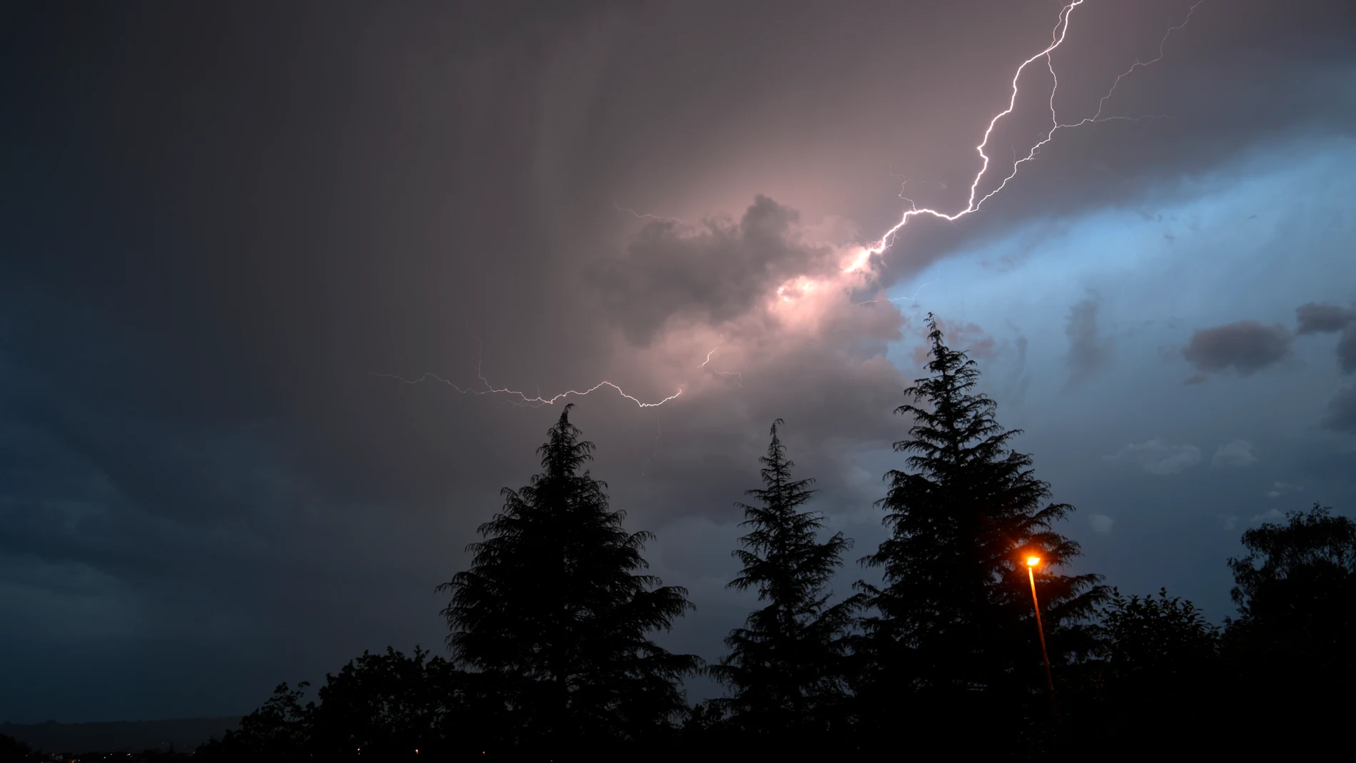
Spain is under a episode of extreme and atypical heat, with temperatures more typical of the month of July than the current dates, which could reach reach 38 ºC and even 40 ºC in parts of the country. This thermal rise, which in the coming days will also be reflected in minimum temperatures, will be accompanied by a strong atmospheric instability.
The State Meteorological Agency (AEMET) activated this Wednesday notices in ten autonomous communities due to high temperatures or strong storms.
Areas under warning for storms and heat
He the Basque Country concentrates the greatest risk this Wednesday, with a orange alert (major danger) in the province of Vizcaya, where the thermometers will touch the 37ºC in the low areas. The rest of the Basque provinces remain at the yellow level with maximums of between 34 ºC and 36 ºC.
The summery and unusual atmosphere will spread across a large part of the peninsular map under yellow notices. In Asturias and Cantabria There is a yellow level due to heat, with maximums of up to 34 ºC, and also due to storms accompanied by hailwith some shower and very strong gusts of windwhile in GaliciaIn addition to the heat, up to 36 ºC in the province of Ourense, they have also been activated alerts for strong storms in Ourense and Lugo.
Rioja and the Foral Community of Navarra continue in yellow warning for maximums of up to 36 ºC, while in Estremadura There is a yellow alert for heat, with maximums of 38 ºC in the province of Badajoz. In the east of the peninsula, the communities of Aragón – in the provinces of Huesca and Zaragoza – and Catalonia – in Lleida and Tarragona – have a yellow level for values that will range between 34 ºC and 36 ºC
For their part, the storms will also affect Castilla y León, where the provinces of Palencia, Zamora and León have activated the yellow notice for Scattered storms accompanied by hail and very strong gusts of wind. In Andalusia, the province of Cadiz cThe yellow warning continues due to strong gusts of wind from the East of between 70 and 80 kilometers per hour and due to adverse coastal phenomena, with wind from the East of 50 to 61 kilometers per hour (force 7) west of Tarifa and offshore south of Trafalgar.
Danger from hail and “blowouts”
In parallel to the suffocating heat, the approach of a wave together with the intense heat and the convergence of surface winds will cause the clouds will grow stronger this afternoon . According to the specialized portal Meteored, the main danger will not lie in the amount of water, but in the associated dry phenomena.
It is expected a very notable electrical activity and warns of the possibility of strong gusts of wind or blowouts that could exceed 70-80 km/h in Castilla y León, the interior of Galicia, Asturias and Cantabria, without ruling out even higher local gusts.
There is also danger from hail. Both the European model and the European Severe Storms Laboratory anticipate a high probability that the Hail may exceed 2 centimeters in diameter in areas of Asturias, Castilla y León (especially in Palencia, Zamora and León) and inland Galicia.
More storms this weekend
Looking ahead to tomorrow, a similar situation is expected, although The storms will lose some intensity. The clouds of evolution will grow again from noon in the northwest quadrant, the Pyrenees and the Iberian System, causing Isolated hailstorms and galesbut with rains that, with some exceptions, will not be significant.
However, Meteored experts ask not to let our guard down. Although the extraordinary episode of high temperatures will continue for the rest of the week, The arrival of a new trough starting on Friday will significantly intensify the storms for the end of the weeka, being able to organize more severe structures with heavy rain, hail and strong gusts of wind in several communities.