
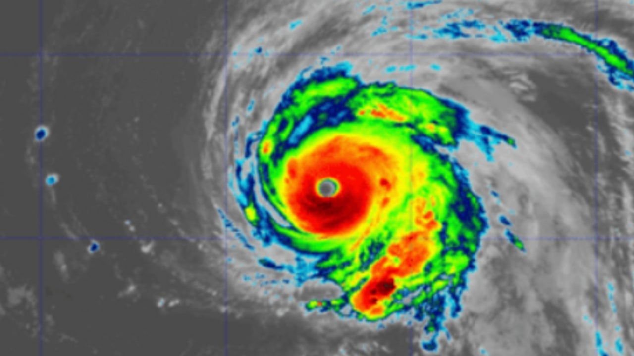
Spain has seen the arrival of three cyclones in recent months –Dexter, Erin and Gabrielle– already transformed into extratropical storms, which have caused heavy rain, strong wind and sea storm.
These systems come from the tropical Atlantic, where they form as hurricanes, and as they move northward, they lose their tropical structure, although they can continue to be very powerful, according to Yurima Victoria Celdrán Domínguez, a forecasting analyst at the A Coruña Prediction and Surveillance Group.
In a publication on AemetBlog, the expert analyzes the reasons for this phenomenon and whether it is common for hurricanes to reach such northern latitudes, or whether we are seeing a change in patterns in the North Atlantic.
Yuima clarifies that a hurricane is a tropical cyclone with sustained winds of at least 119 km/h, which obtains its energy from warm waters. When moving towards middle latitudes“is affected by the circulation associated with the Atlantic jet stream and by the presence of noticeably colder waters. This interaction completely modifies its structure “, starting a process called extratropical transition.
During this change, the cyclone adopts storm characteristics, with cold and warm fronts, and may even “reintensify” due to atmospheric dynamics processes in the mid-latitudes, explains .
It is not a new phenomenon
A month ago, the expert remembers that Hurricane Gabrielle, after reaching category 4 in the central Atlantic, became an extratropical storm before reaching the peninsulacausing torrential rains, strong winds and swells
However, Yurima emphasizes, This phenomenon is not completely new in Spain. Since the end of the 20th century, several hurricanes and tropical storms have arrived in the country as storms, causing rain, wind and sea storms. Among the most recent are Franklin (2023), Kirk (2024) and Gabrielle (2025).
The analyst points out that the Atlantic is warming, which allows these tropical systems to “maintain their energy for longer.” Furthermore, he explains that “changes in atmospheric patterns facilitate their movement towards the northeast, bringing them closer to Europe.” Where before they were rapidly weakening, now They can reach Europe as active extratropical storms, with the capacity to generate significant impacts.
Although climate change could be influencing this trend, Yurima points out that the relationship is not direct or completely known.. Science suggests that, although the total number of hurricanes could decrease, those that form will be more intense and could produce heavier rainfall, stronger winds and high storm surge.
Furthermore, remembers the expert, natural oscillations of the climate system, such as El Niño or the North Atlantic Oscillation (NAO)also affect the trajectories of these cyclones. For now, Yurima concludes; What is observed is a growing pattern: “more tropical systems manage to reach the North Atlantic and, in some cases, even Europe. Research continues to determine whether this trend is part of natural variability or a new climate reality.