
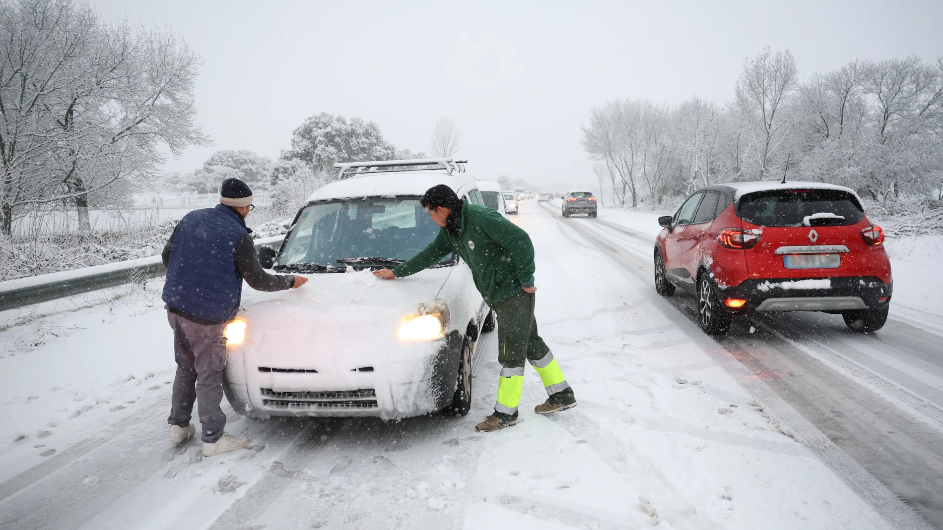
This Tuesday the unstable weather in the Peninsula and the Balearic Islands, with mostly cloudy skies and precipitation, especially in the southeast quadrant. The rains will affect the Mediterranean, the central-eastern regions, the Strait and the Alboran Sea, with more significant accumulations in Murcia and the Valencian Community, where could be locally strong.
Furthermore, it is planned significant snowfall in the area of the Béticas from 800-1,000 meters, as well as in areas of the east of the southern plateau and the Central System at similar levels, and in the Cantabrian mountain range above 1,200 meters.
Five communities on alert for snow and rain
A total of five autonomous communities are under a meteorological warning due to adverse phenomena. Four of them are on yellow alert (low risk) for rain or snow, while the Canary Islands also have warnings for strong winds and sea storms. The most notable situation is recorded in Andalusia, where the orange level has been activated due to a significant risk of snowfall.
According to the forecasts of the State Meteorological Agency (AEMET)snow accumulations could exceed 5 centimeters in 24 hours in the Genil, Guadix and Baza basin, in the province of Grenade, from 1,200 meters altitude.
Besides, other areas of Andalusia are under yellow warning due to snowfalls. This is the case of Sierra Nevada and the Alpujarras, also in Granada. In the province of Jaenthe notice affects the regions of Cazorla and Segura, as well as the area of the capital and Montes. In Malagathe alert has been activated in the Ronda area.
In the province of Almeria, The risk of snowfall extends to the Almanzora Valley, Los Vélez, Nacimiento and Campo de Tabernas. In these areas it is expected accumulations of between 2 and 7 centimeters of snow in 24 hours above 1,000 to 1,200 meters.
Outside Andalusia, several communities are on yellow alert. Balearic Islands and the Valencian Community are under notice for rainswhile Castilla-La Mancha is due to snowfalls. In the Region of Murcia, the warning is double due to the forecast of both precipitation and snow.
Precipitation could be locally strong in parts of Ibiza, Murcia and the Valencian Community, where it is expected accumulations greater than 20 liters per square meter in one hourto. In the south of the Valencian Community, these rains could also be persistent. In the province of Alicante, both on the coast and inland, it is expected that the accumulated water may exceed 60 liters per square meter in a period of twelve hours.
As for snow, significant accumulations are also expected in the area around the Betic systems and, more specifically, in the east of the southern plateau, the Cantabrian mountain range and areas close to the Central System. Likewise, it could snow in La Mancha Cuenca and in the northwest of the Region of Murcia.
For its part, The Canary Islands maintain the yellow warning due to winds that can reach gusts of up to 70 kilometers per houra, in addition to maritime storms, especially in exposed areas of the archipelago.
DANA moves away and temperatures rise
On Wednesday, rainfall will continue to affect the Valencian Community, the east-southeast of Castilla-La Mancha, Melilla and the eastern provinces of Andalusia, but will tend to weaken as DANA recedes. At the same time, heThe snow level will rise above 1,600 meters and temperatures will increaseand temperatures can exceed 18ºC in the Tagus, Guadiana and Guadalquivir valleys and in areas of the northeast and the Balearic Islands.
More stable weather is expected for Thursday, with generally clear skies, although in the morning fog banks and low clouds could form in the interior and in the afternoon isolated showers in the Mediterranean, on a day with rising temperatures.
The rains will extend on Saturday
Looking ahead to the weekend, a new front could arrive on Friday with rain in Galicia, the north of Castilla y León and the Cantabrian Sea, which on Saturday would extend to large areas of the Peninsula. On Sunday they would once again be restricted to the extreme north. Temperatures will barely change on Friday, but will drop on Saturday with the arrival of northerly winds, increasing the feeling of cold.