
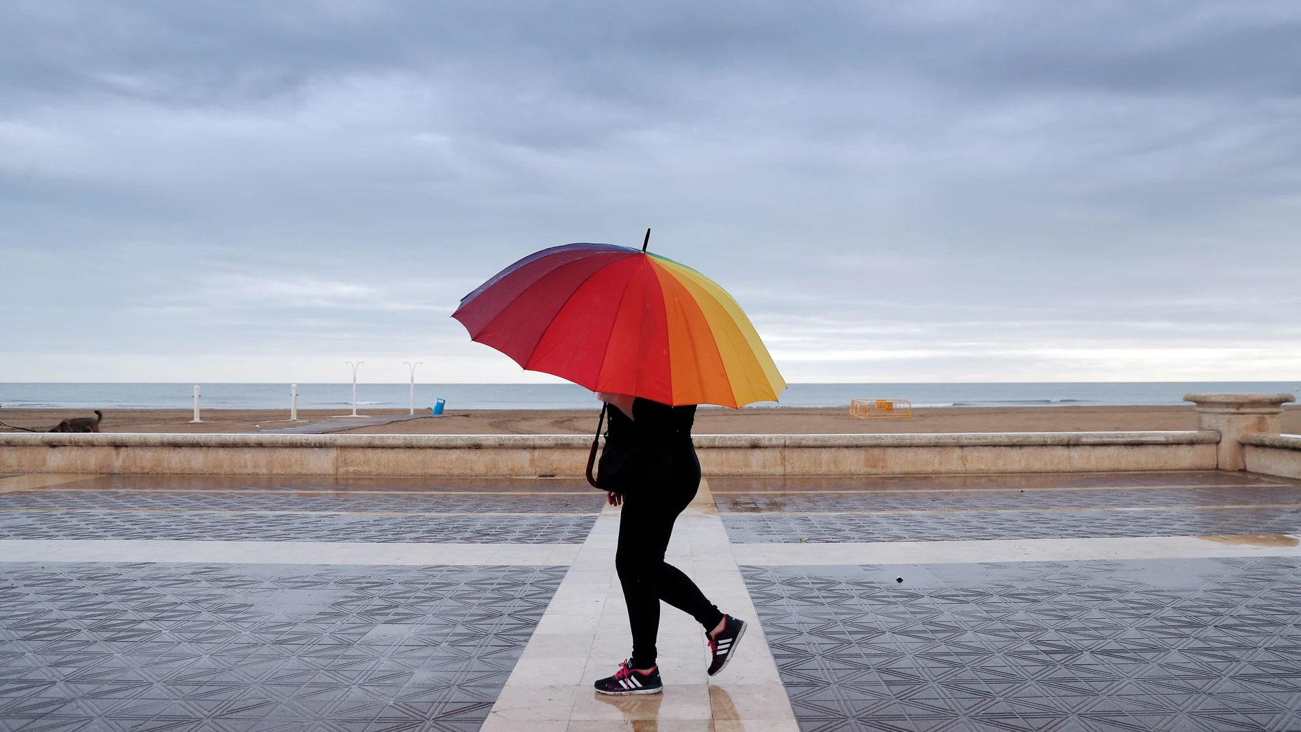
The day of this Saturday August 22, 2026 It will be marked by a notable meteorological duality throughout the national territory. He The development of a storm located to the west of the Peninsula will facilitate the entry of warmer air from the southwhich will lead to a significant rise in thermometers in the north, while the east of the peninsula and the Balearic Islands will be shaken by stormy showers that may be locally accompanied by hail.
Intense storms in the Mediterranean and the Ebro valley
During the early morning and much of the day, the instability will affect the coastlines of Tarragona and Castellónas well as with the island of Ibiza, where strong or very strong showers are expected. As the hours progress, this rainfall could extend to other parts of the Valencian Community or Murcia in the final hours.
In the afternoon, the The risk of storms will move to the interior of the peninsula, making showers very likely in Navarra, Huesca and, more intensely, in the Ebro valley and the Iberian system.where the phenomena could be accompanied by hail. In the rest of the country, slightly cloudy or clear skies will predominate, with the presence of morning mists or mists in the upper Ebro, interior of the Cantabrian Sea, Huelva and Albacete, while in the Canary Islands the skies will be cloudy on the northern slope with possible weak rainfall.
Thermal contrast and extreme temperatures
Maximum temperatures will experience a general rise in almost the entire country, especially highlighting the notable rise of more than 6 degrees expected in the Cantabrian area and in Galicia, where capitals such as Oviedo and Santander will register maximums of 26 and 24 degrees respectivelywhile Ourense will reach 35 degrees and Toledo 35. On the contrary, thermometers will register decreases in the Levant, the Balearic Islands, Catalonia and the Canary Islands.
For its part, minimum temperatures will rise slightly in the southern plateau, Betic and Balearic systems, while they will tend to fall in the rest of the territory and in the Canary archipelago, highlighting fresh values such as the 9 degrees of Soria or the 10 of Burgos and León. As for the wind, it will blow lightly and from the south on the Peninsula, more intense from the east in the Cantabrian Sea and Galicia, and with moderate trade winds in the Canary Islands that will blow north in the afternoon.