
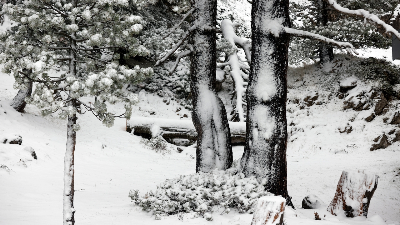
Snow will arrive this Thursday in certain parts of the country. In the next few hours, a mass of cold air will approach from the north, which will cause a significant drop in temperatures and snow levels, especially in the Pyrenees, where the first big snowfall of October between this Thursday and Friday.
This cold air mass will affect a large part of the country, with a marked thermal decrease, especially in the north and east of the peninsula. The State Meteorological Agency (AEMET) warns that they will be registered drops of between six and eight degrees compared to Wednesday. The capitals where it will be coldest will be Burgos and Soria, with maximums of 13 degrees, followed by Ávila, Cuenca, Lugo and Segovia, with 14 degrees.
Starting in the second half of the day, precipitation will begin to subside in the southern half of the peninsula, while it will persist in the eastern Cantabrian Sea, Navarra, Aragon, Catalonia and the Iberian system, according to tiempo.es. The most significant and persistent rainfall is expected in the Pyrenean environment.
With the entry of this colder air mass from the north, the snow level will also drop. This Thursday afternoon, it could start to snow in the Pyrenees from 1900-2000 meters. By the end of the day, the snow level is expected to go down to 1800 meters, with more intense snowfall in the Aragonese Pyrenees. These conditions could continue until Friday afternoon, when snow is also expected to fall heavily in the Catalan Pyrenees.
In total, from tiempo.es they predict accumulations of between 15 and 30 cm of snow in areas such as the Pyrenees of Oscense, and the possibility of some light snowfall in the Iberian system during the early hours of Friday is not ruled out.