
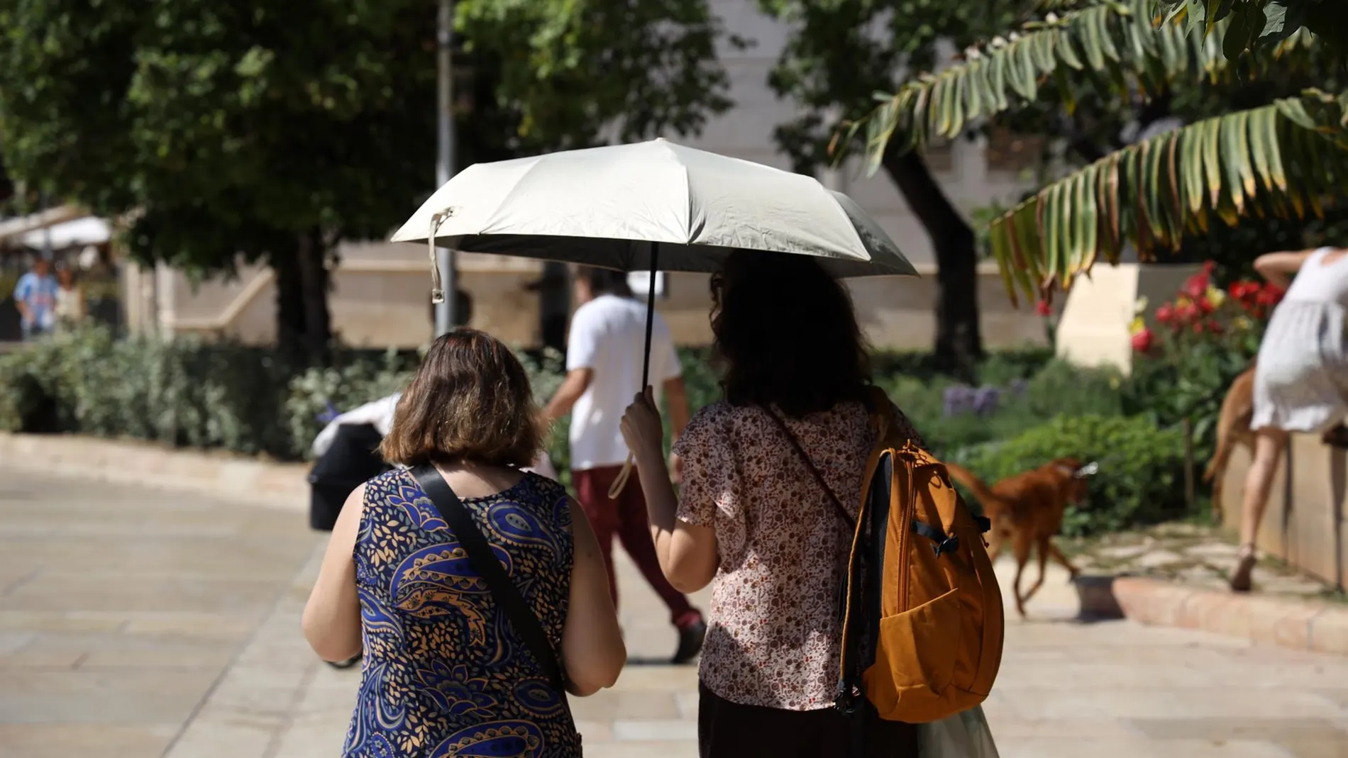
Stability will continue to dominate the weather in Spain this Sunday, on a day marked by general increase in temperatures and due to the absence of significant rainfall in most of the country.
The AEMET It predicts slightly cloudy or clear skies, although with some intervals of low cloudiness and fog banks during the first hours in different areas of the north and east of the peninsula.
The main wind episode will once again be concentrated in Cádiz, where The east will blow strongly and leave very strong gusts in the Strait.
Stable weather will be the general tone, with predominance of clear or slightly cloudy skies and without notable precipitation. The only exceptions will be located in the area of the Strait and Melilla, where some cloudy intervals may appear with the probability of some drizzle.
There will also be low cloudiness in areas of Galicia, the Cantabrian Sea, the upper Ebro, Catalonia and the southeast of the peninsula, accompanied by probable morning fog banks that will tend to disappear as the day progresses.
In the Canary Islands, the skies will present cloudy intervals in the north of the mountainous islands, although they will tend to remain slightly cloudy. In the rest of the archipelago, slightly cloudy or clear skies will predominate, except for some evolving clouds that could appear in the southern areas due to the breezes. Furthermore, the AEMET points out the presence of haze in high areas.
The heat gains ground and once again exceeds 35 degrees
Temperatures will rise across the board during Sunday, with moderate ascents in much of the northern half of the peninsula and in the high areas of the Canary Islandswhile in the rest of the territory the increases will be lighter. The heat will be especially intense on the southern Atlantic slope, where the temperatures will be exceeded. 35 degrees in large areas and similar records are not ruled out in some points in the southwest of Galicia and the south of the Canary Islands.
Among the capitals, Badajoz will reach 38 degreeswhile Córdoba and Seville will reach 37. Huelva will remain at 36, and Cáceres, Granada, Jaén and Toledo will reach 35. There will also be high values in other inland areas, with 33 degrees in Ciudad Real, Girona, Lleida, Madrid, Murcia and Zaragoza, among others.
The minimum temperatures will also leave warm nights in much of the territory. The AEMET foresees tropical nights, without dropping below 20 degreeson the southern Atlantic slope itself, in addition to the southern Mediterranean coastlines and the archipelagos. The lowest temperatures will be recorded in points in the north and inland, with minimums of 10 degrees in Bilbao, Burgos, León, Teruel and Vitoria-Gasteiz.
Strong lift and very strong gusts in the Strait
The wind will once again be one of the main protagonists of the day, especially in the south of the peninsula. The east will blow strong, with very strong gusts in the Straitand will also affect other areas of Cádiz. On the coasts of the Cantabrian Sea and the southeast of the peninsula, moderate winds from the east and northeast will blow, while in the north of Galicia and Alborán strong intervals may be recorded.
In the Canary Islands, the trade wind will have strong intervals at the beginning of the dayalthough it will tend to subside later. The Balearic Islands will have moderate intervals of northerly winds, while in the rest of the territory light winds will predominate, with an easterly component.
The predicted temperatures in the main points of the Canary Islands They will also be high. Las Palmas de Gran Canaria will move between 24 and 28 degreeswhile Santa Cruz de Tenerife will have a warmer day, with values of between 24 and 32 degrees.