
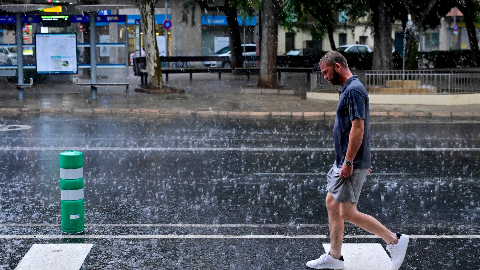
The weather will be uneven in Spain this Thursday, September 10. Most of the territory will have slightly cloudy or clear skies, although the beginning of the day will be more complicated in the east of the peninsula and the Balearic Islands. There, showers accompanied by storms can discharge with intensity before the situation tends to improve. The most adverse episode is expected at dawn.
Almería, Murcia, the south of the Valencian Community and the Pitiusas islands, Ibiza and Formentera concentrate the probability of heavy rains, even locally very heavy. The prediction also contemplates some isolated showers throughout the day, but the situation will be more stable in most of the Peninsula. The instability will be limited to startup of the day in those areas.
Temperatures will also be distributed differently depending on the area. The maximum temperatures will drop noticeably in Alborán, the southeastern third and both archipelagos, while they will rise in the northern half, especially in the mountains. The minimums will decrease in much of the Peninsula and the Canary Islands. Tropical nights will be restricted to points on the Mediterranean coast, the Canary Islands and the lower Guadalquivir.
The State Meteorological Agency (AEMET) places these scenarios in its prediction: the greatest intensity of the storms is concentrated in specific hours and areas, while the rest of the country will maintain calmer weather. The distribution of rain will be irregular even within the affected areas.
Temperatures and capitals
The highest maximums will be in Córdoba, with 35 degrees, and Badajoz and Seville, with 34. Cáceres and Huelva will reach 31, while Ciudad Real, Granada and Jaén will move between 30 and 31. In the center, Madrid will reach 27 and Toledo at 29; Albacete and Guadalajara will score 27. The north will have more contained valueswith 24 degrees in Bilbao, Burgos, Palencia and Valladolid, and 21 in Oviedo.
In the minimum temperatures, Soria will start at 4 degrees and Teruel at 3, compared to 5 in Ávila and 7 in León and Salamanca. On the Mediterranean coast, Alicante will have 19, Málaga 21 and Almería 22. The rise in maximum temperatures in the northern mountains will contrast with the decline in the southeast, after more widespread meteorological stability. The differences between capitals will be wide at the beginning of the day.
Wind, fog and haze
The wind will have two prominent focuses. The north wind will blow at strong intervals in the north of the Balearic Islands and will probably leave very strong gusts in the Ampurdán. Moderate northeasterly winds are also expected on the coasts of the northwest and southeast of the peninsula, as well as strong intervals in the Canary Islands. The Strait will change from west to east moderate during the day.
There will be cloudy intervals in Galicia and the Cantabrian Sea, as well as in the Strait and Alborán, where occasional precipitation is not ruled out. In the Canary Islands, clouds will dominate the northern slope and may leave drizzle, while the haze at altitude will tend to decrease. Visibility may worsen due to scattered morning fog banks in the north, southeast and the Mediterranean coast. Some tropical nights will still be present on the Mediterranean coasts, the Canary Islands and the lower Guadalquivir.
In the Ebro valley, moderate gales will blow and in the rest a light wind from the north and east will predominate. The expected evolution will leave a more unstable morning in the Mediterranean and an end to the day with clear skies in many areas, although low clouds will persist in the north of the Canary Islands and isolated rainfall in areas near the Strait. The situation will evolve differently in each region during the day.